Typically, “Join Me” trips have no organized activities scheduled, today was an exception because so many new members/RVers are participating. A “coffee and pastry “ get together at the Tillery‘s site provided an opportunity to get to know “new” members in the now hyperactive RV club. Because we are all from Hot Springs Village, members are a smorgasbord of people from all over, with varying styles of RVs from small “pull behind” trailers to almost 44-foot long tag axle diesel pushers.
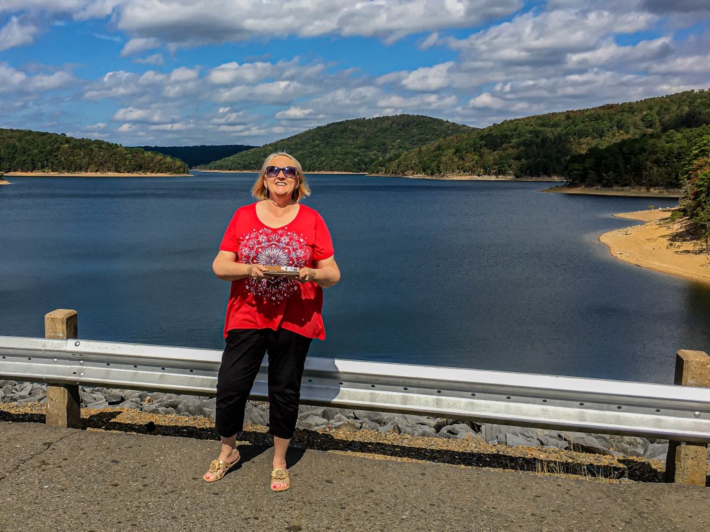
Kay joined many of the others for a midday tour of the earthen Blakey Dam, another nearby campground, and a picnic lunch while I moved the motorhome (MH) to a site across the road—our place of residence for the next 4 nights.
Blakely DamAngie Tillery, half of the great HSV Roadrunners leadership team
When she returned we undertook replacing MH batteries. The MH has two sets of batteries: two coach batteries for operating lights and appliances inside the MH, and a chassis battery for starting the MH.
Two “coach” batteries
Without thinking things through, it was initially believed that the two coach batteries were bad as they’ve been in the place for several years. After undoing security bolts and cables, a “light bulb” went off and I reasoned it could not be the coach batteries; instead, it had to bee the chassis battery. It made so much sense, was less work, and much less expensive.
Single “chassis” battery; replaced
We made a quick trip to Walmart, then back to the campground, and installed the new battery. That’s one of many maintenance items that can be checked off the list.
A late happy hour at the Frankenburgers wrapped up the very busy day.
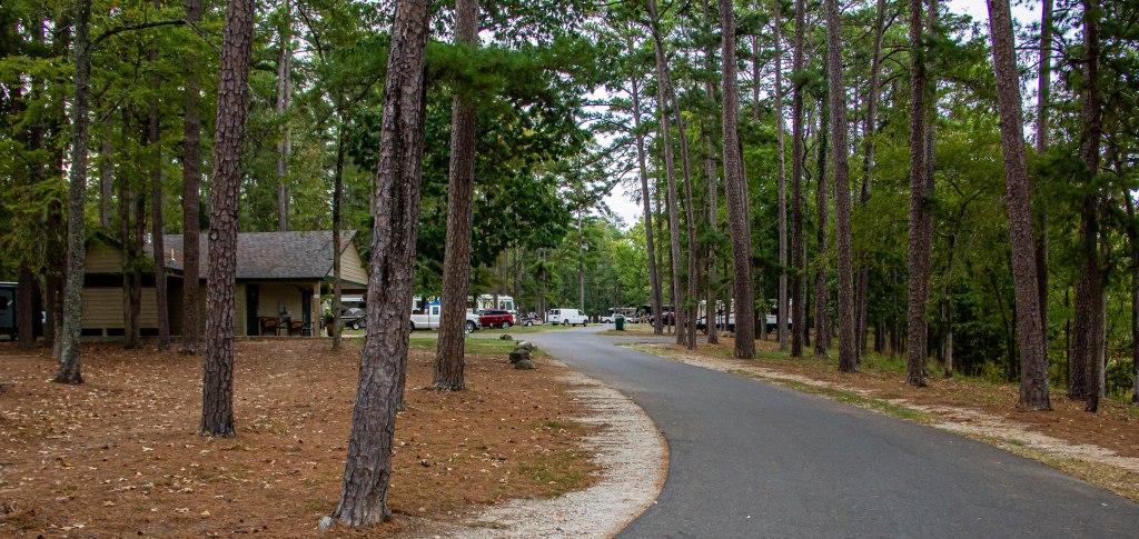
The HSV Roadrunners, almost defunct last year, has been reenergized to become a very active travel and social entity, thanks largely to Carl and Angie Tillery. A “Join Me” trip to Lake Ouachjta State Park was planned last spring, and of course I procrastinated sufficiently such that no campground sites were available. Continuing to call almost daily resulted in a last minute opening for 4 days, and then a few more calls resulted in an opening for tonight. So, here we are at Lake Ouachita State Park.
After setting up, we started on a walk, but immediately met some folks Kay knew (surprise, surprise). It was like that the rest of the evening!
From Wall, our journey took us east on Interstate 90 where we stopped at Chamberlain, SD, to view a 50-foot high sculpture of Dignity of Earth and Sky (often shortened to just Dignity). The stainless steel sculpture stands high above a section of the Missouri, where she overlooks a region whose history is mostly celebrated for Lewis and Clark’s explorations. The enormous sculpture is dedicated the women of the Lakota and Dakota Nations.
After a long drive, we arrived in Ottawa, KS, where I planned to cycle the Rail Trail Hall Prairie Spirit Trail tomorrow.
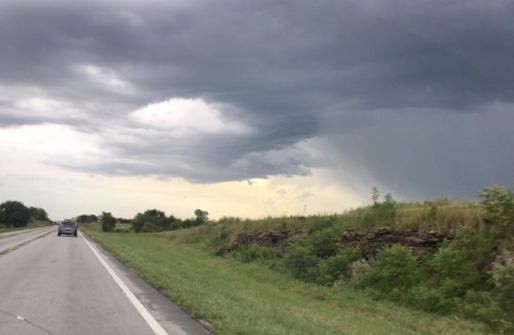
Regrettably, the weather did not cooperate as rain and thunderstorms were predicted, and lightning flashed as we discussed plans for the day on Tuesday. Quickly making up our minds, we continued the drive south to home, arriving about 4 PM.
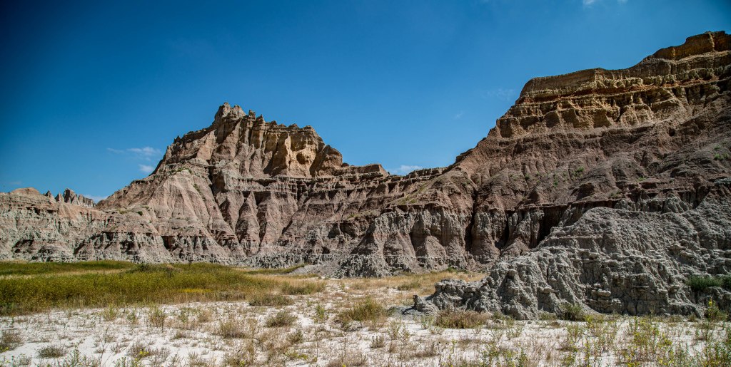
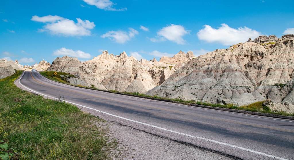
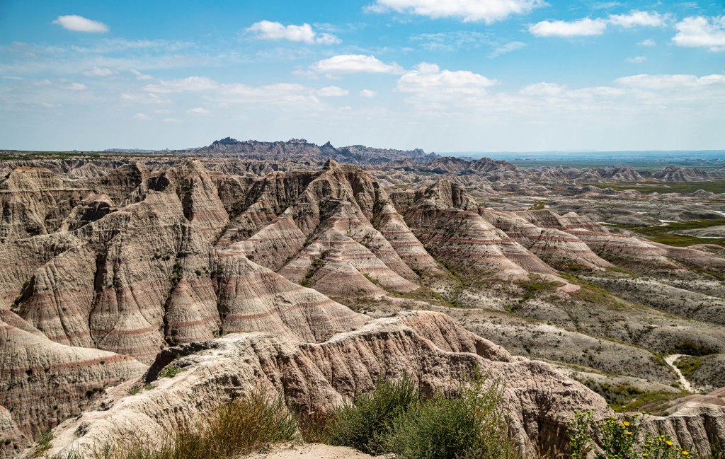
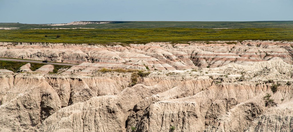
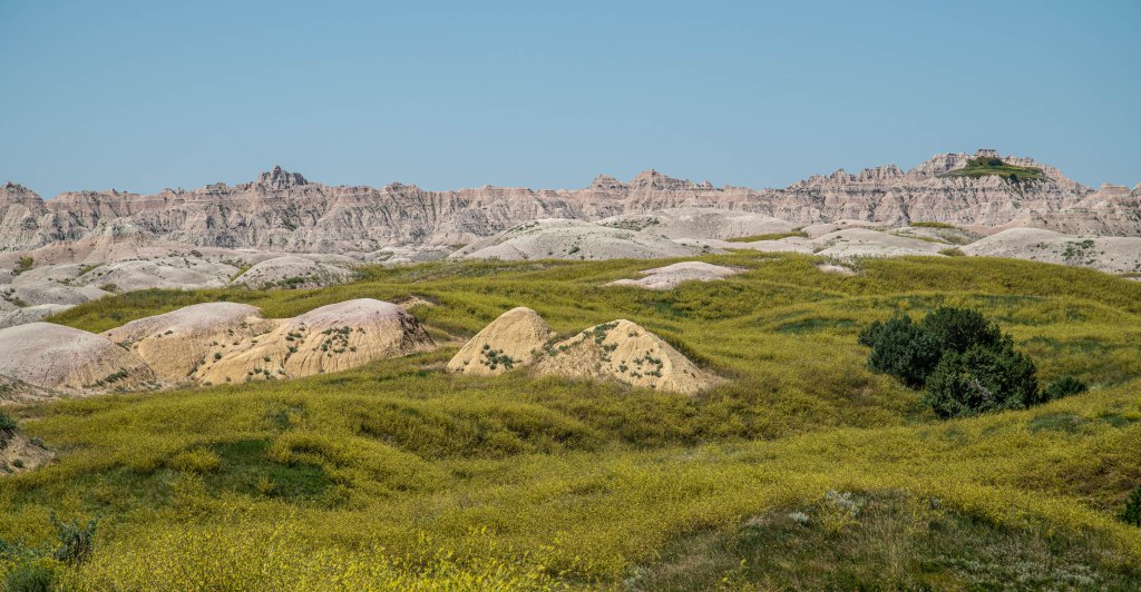
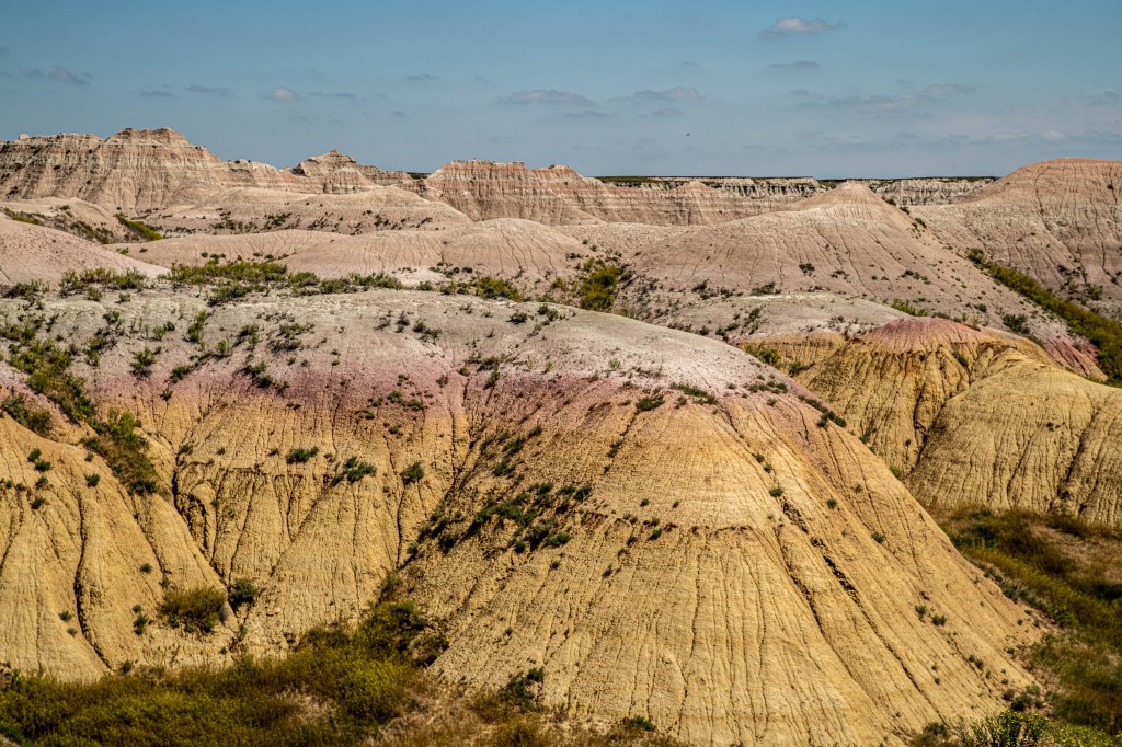
Checking out of the tiny B&B room in Custer, we began our journey home. I’ve never been able to make good photographs in Badlands National Park, despite having been there a half dozen times. Today’s trip presented another opportunity. The sun was directly overhead, the least desirable location for photographs! However, a few pictures were made before driving to overnight in Wall, SD, home of Wall Drug.
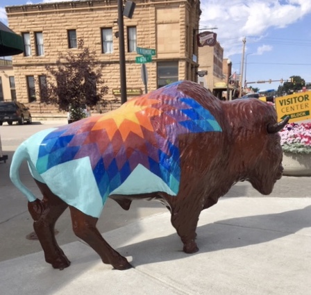
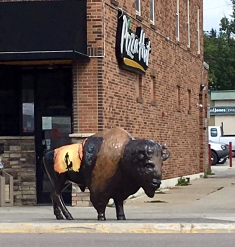
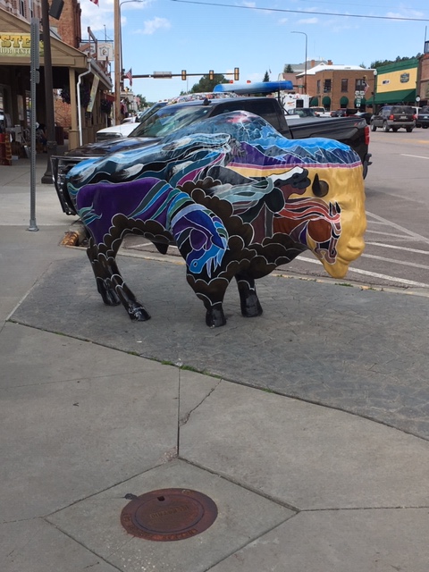
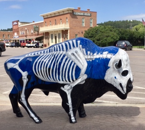
We’ve completed all items on our “Black Hills of South Dakota” list. We are in Custer, SD, a quaint town which serves as the heart of the Black Hills tourist industry. Custer State Park, the largest state park in the US is near here. Mount Rushmore is a short drive, as is the Crazy Horse Memorial. Two national parks are nearby: Wind Cave and Jewel Cave. And of course, the Mickelson Trail passes through the town. There are many lodging places and several casual, but upscale restaurants. Painted bison can be found on most corners.
Shortly before lunch, we met Tim and Rosy in Rapid Citys for lunch, then toured their summer place of residence, Hart Ranch. It is a great RV resort in which to spend summers, with myriads of activities and accompanying infrastructure; it was very appealing to us, but we’re getting too old to make a long-term living commitment.
Today’s ride was the longest, in terms of distance. While mostly downhill, high winds from the SSW, combined with significant areas of loose sand dampened the speed and efficiency of the run. It began at Custer (MP 44.5) with a 2 1/2 mile uphill ride (called the Custer Climb), which I managed without too much difficulty, followed by a long 10-mile downhill run, another short uphill ride, 4 more miles downhill, another short uphill, and a mostly level ride into Edgemont, the last mile of which was on paved roads.
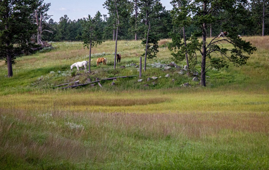
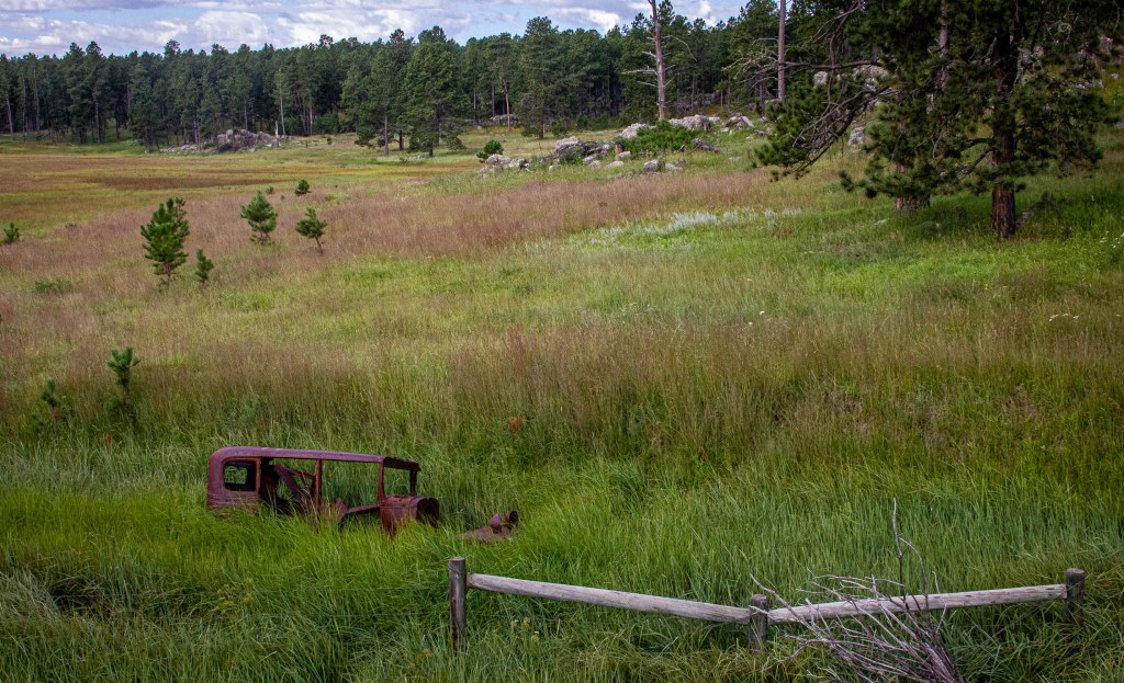
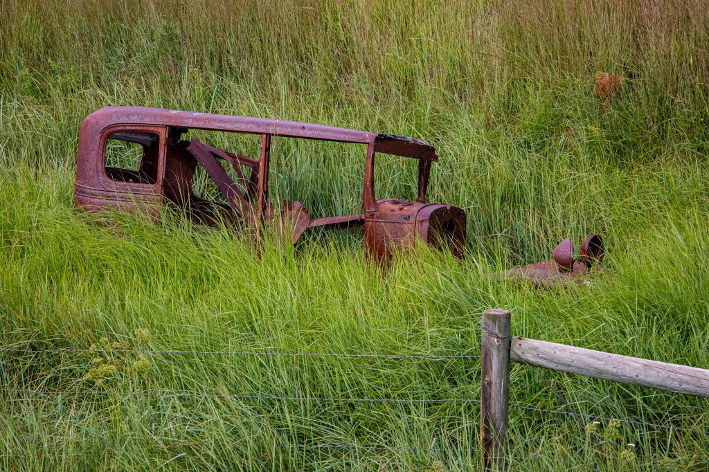
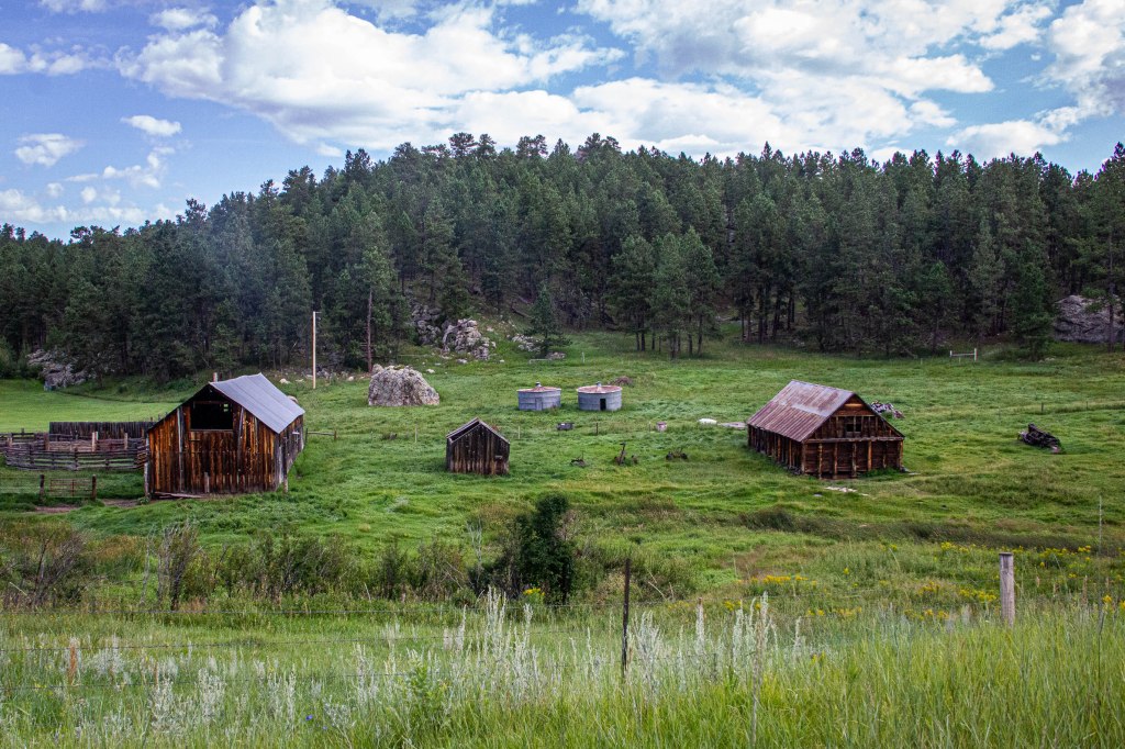
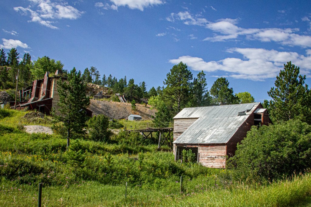
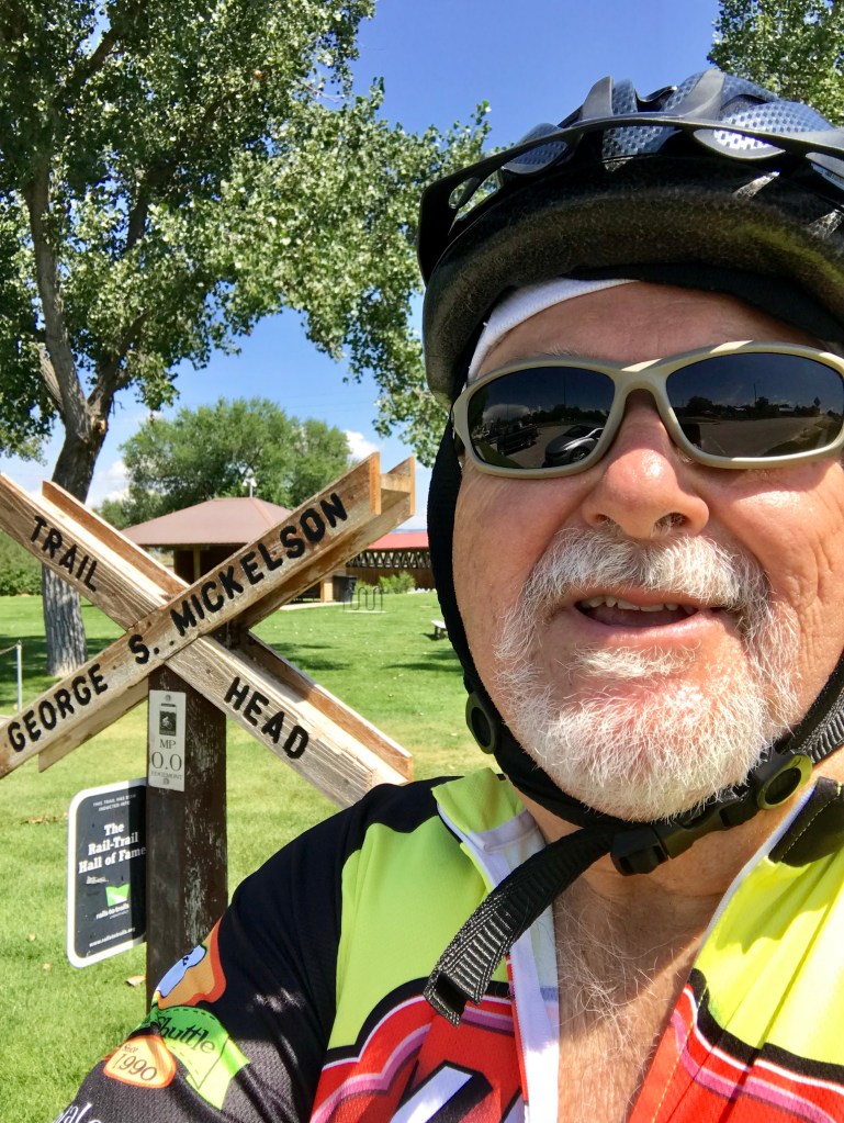
Old homesteads, a feed mill, rusted farm equipment, and a large mine were adjacent to the trail. Domestic horses and a herd of bison were also observed. The trail wound through a narrow and rugged Sheep Canyon, ultimately spreading into a beautiful wide valley. Many discount the scenery in this section, but I found it to be quite pleasant. The trail ended (it’s actually the beginning of the trail, MP 0.0) without fanfare or much signage in Edgemont, a disappointment.
Riding the Mickelson Trail was a “life list” item, and I chose to ride it in celebration of an upcoming 70th birthday. It was not a disappointment; in fact, I believe it to be the best Rail Trail I’ve ridden. Trail signage was absolutely the best of any trail I’ve been on, each of the trailheads had water, restrooms, and maps, and some had tool stations. No obnoxious cyclists were experienced. Other than unpreventable damage caused by record rainfall and runoff, the trail surface was the best of any of the major Rail Trails I’ve ridden. I highly recommend it!
I would be remiss if mention were not made of Craig Kjar, the Trail Patrol representative. He provided accurate and complete information, had a friendly demeanor, and represented South Dakota in an exceptional manner. He kept a careful eye for trail obstacles, trash, and vandalism. Our paths crossed several times along the trails; hopefully, we’ll meet again on another trail.
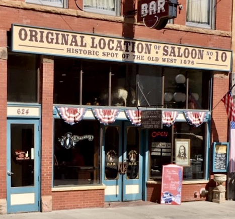
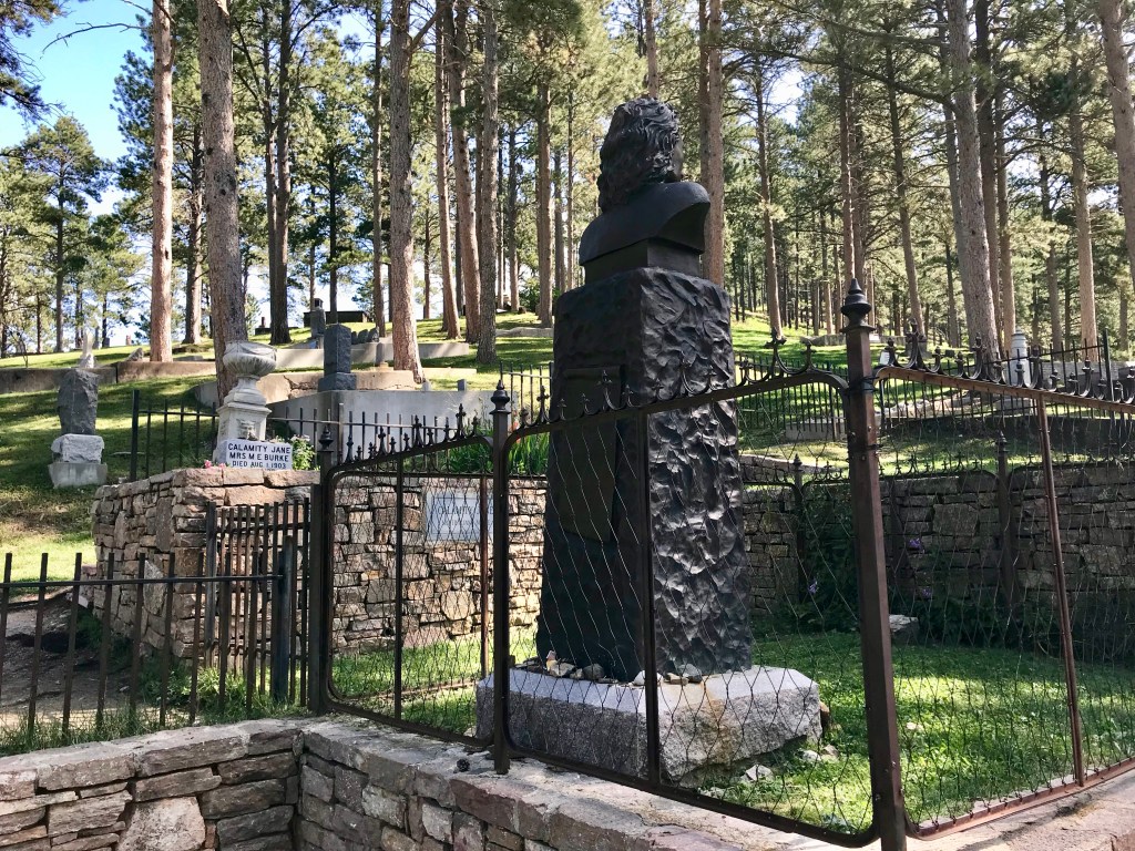
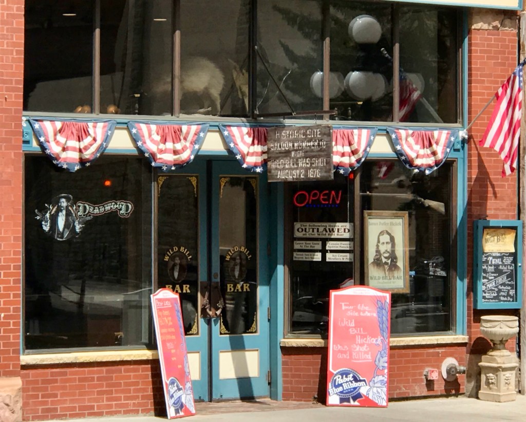
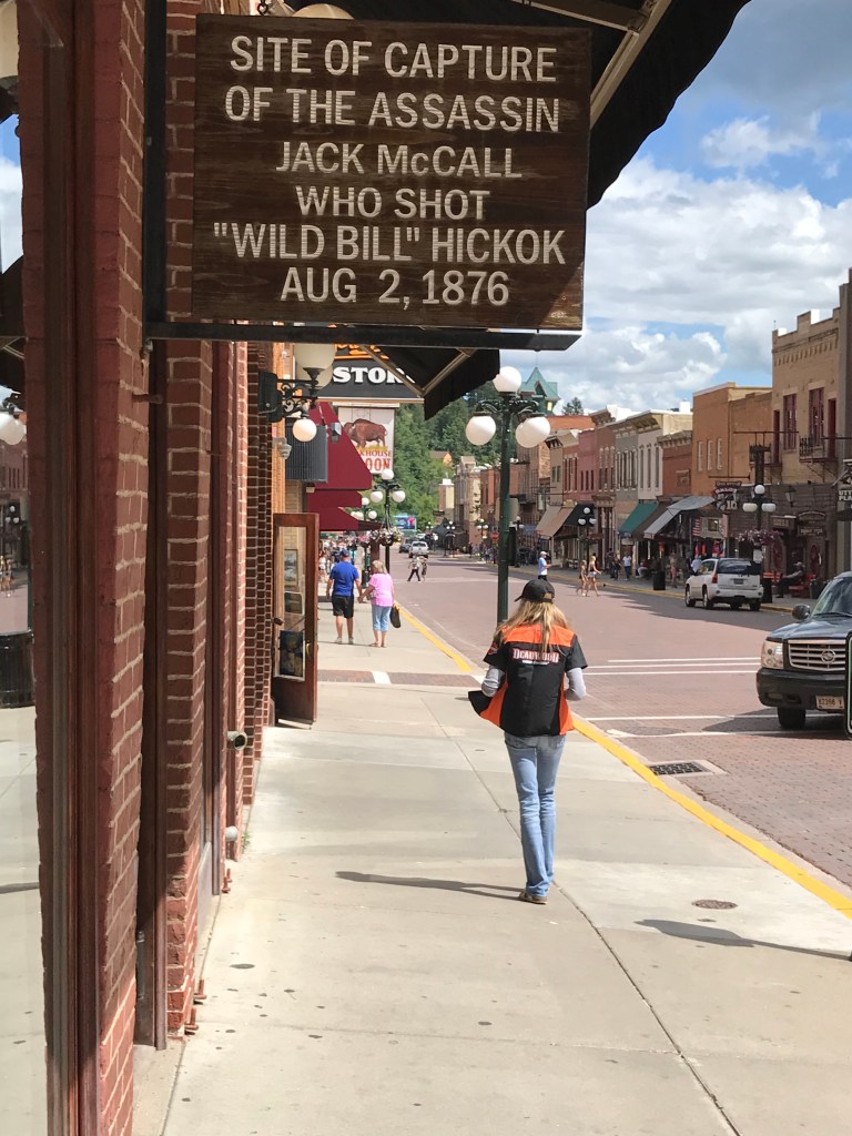
Opting to give the “sit” bones a rest, we took it easy this morning, checking out of the hotel at about 10:30 AM. Kay wanted to take a bus tour of Deadwood, and the tour provided an overview of the history of this renowned Black Hills town. The place where Wild Bill Hickok was killed, the place where they found his killer, the town’s cemetery which included the graves of Wild Bill Hickok, Calamity Jane, and other Deadwood notables, and many of the historic buildings were featured. A brief tour of the Adams Museum followed; some of the Black Hills’ greatest treasures are on exhibit at the museum including: Potato Creek Johnny’s original 7.346 troy ounce gold nugget.
And then, the one hour drive to Custer was made allowing us to check into our motel room. A quiet afternoon and dinner followed.
Given the uncertainty of having a place to stay last night, Kay booked a hotel room at Blackstone Lodge in Lead, SD, complete with three hot tubs; we recommend it and would stay there again. Be aware, though; restaurants close early in Lead.
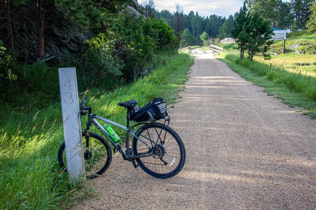
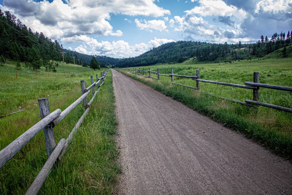
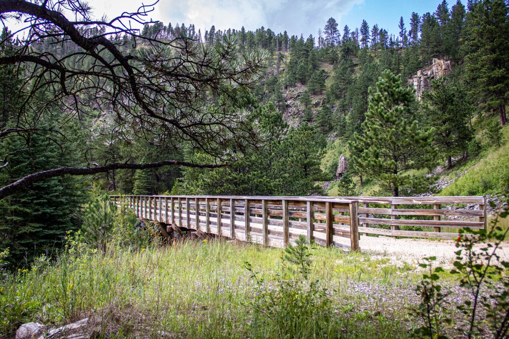
Today’s ride was another two-parter. The first leg started at the Mountain Trailhead (MP 49.6) north of Custer, South Dakota. It was cold, very windy with 15+ mph winds out of the NNW, and spitting rain. The short 20-minute downhill ride was through a lush valley wrought with rock formations and small lakes, another piece of paradise, ending at the Harbach Park Trailhead (MP 44.5) in the resort town of Custer, SD. It was mostly downhill and WITH the wind.
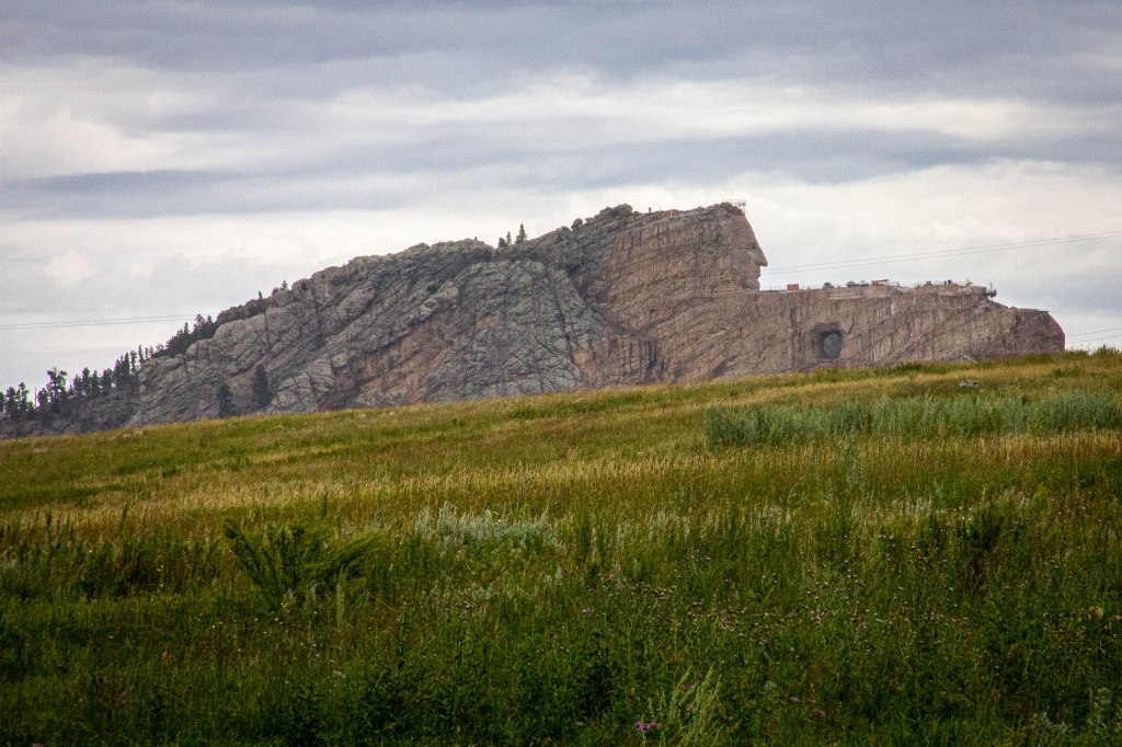
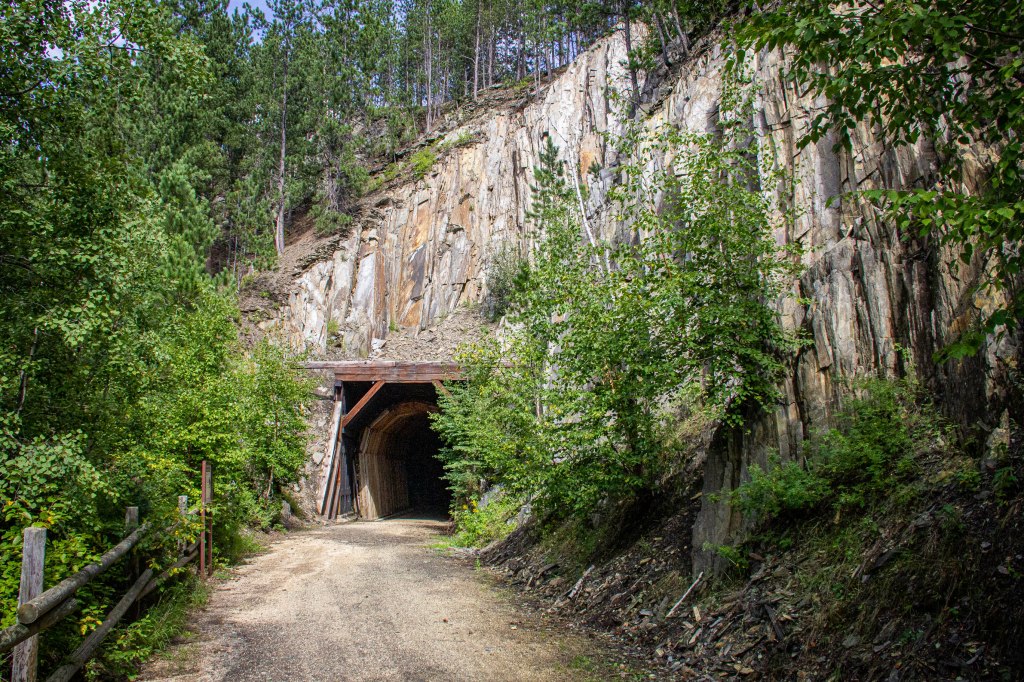
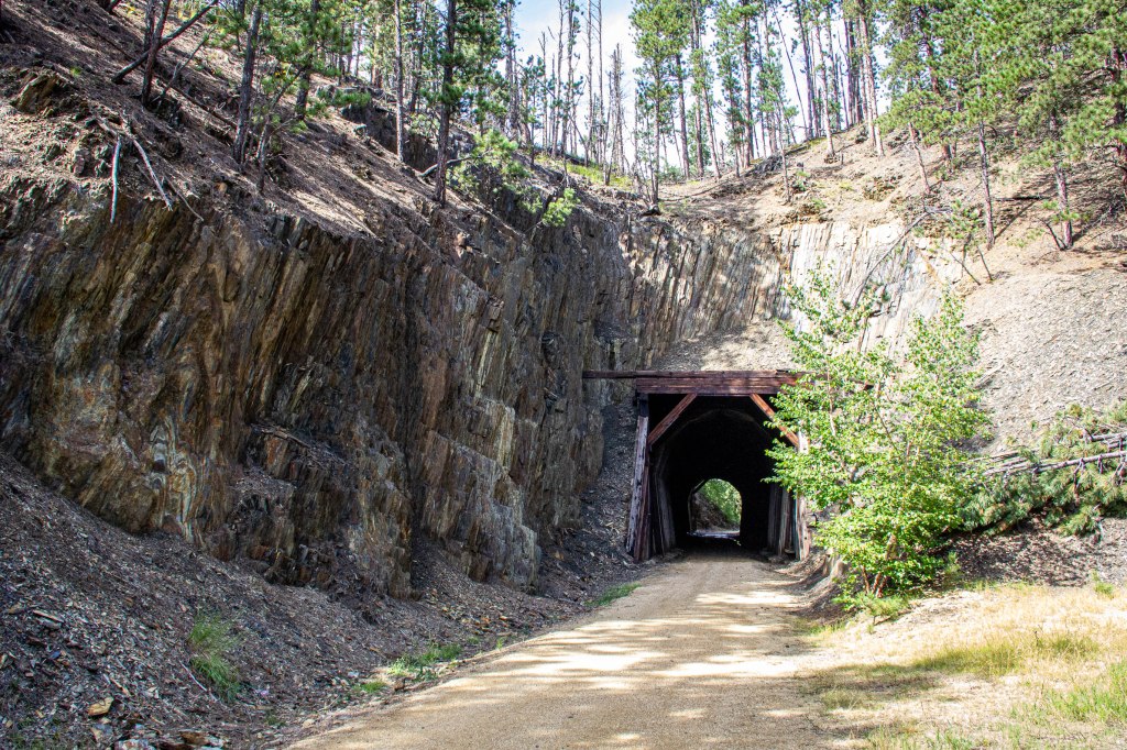
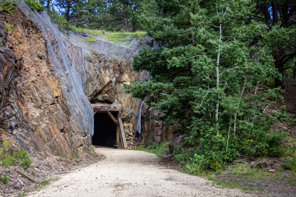
The second leg would provide proof that I needed to lose a LOT of weight and get in shape! This part of the ride began at the Mountain Trailhead (MP 49.6) and proceeded northward. Immediately the Crazy Horse memorial came into view on the east side of the trail. Despite being uphill for the first 1-3/4 miles, pedaling was pleasant, especially knowing that the next 9+ miles were essentially downhill. Heavy rains, 3-1/2 inches the last couple of weeks and last night’s rain, combined to erode sections of the trail and deposit soft sand, now wet, in other sections. I had to pick the downhill track carefully, and the wet sand seemed to suck the air out of the 38mm tires, making for a slow downhill ride into Hill City (MP 60.1), where the trail lay beside a very nice railroad museum. I knew today would be the hardest, but had no idea how grueling it would be. As the uphill part (8 miles) of today’s ride approached, trail conditions worsened: the track was wet with long sections of soft wet sand, wind was howling down the trail, seemingly directly head on, the trail was uphill, and the elevation above 5,000 feet. I would have to stop often, and sometimes walk the bicycle. However the valley widened and scenery was again spectacular, including a small stream running beside the trail. Remnants of old mines and railroads were plentiful trailside. Finally, I made the crest and enjoyed a two mile downhill respite before another mile and a half uphill run, followed by a four mile downhill/level pedal to the Mystic Trailhead (MP 74.7), passing through two tunnels just north of Mystic. This segment was 25.88 miles with an elevation gain of 918 feet.
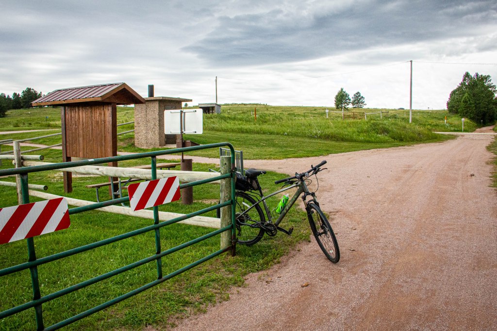
Mountain Trailhead
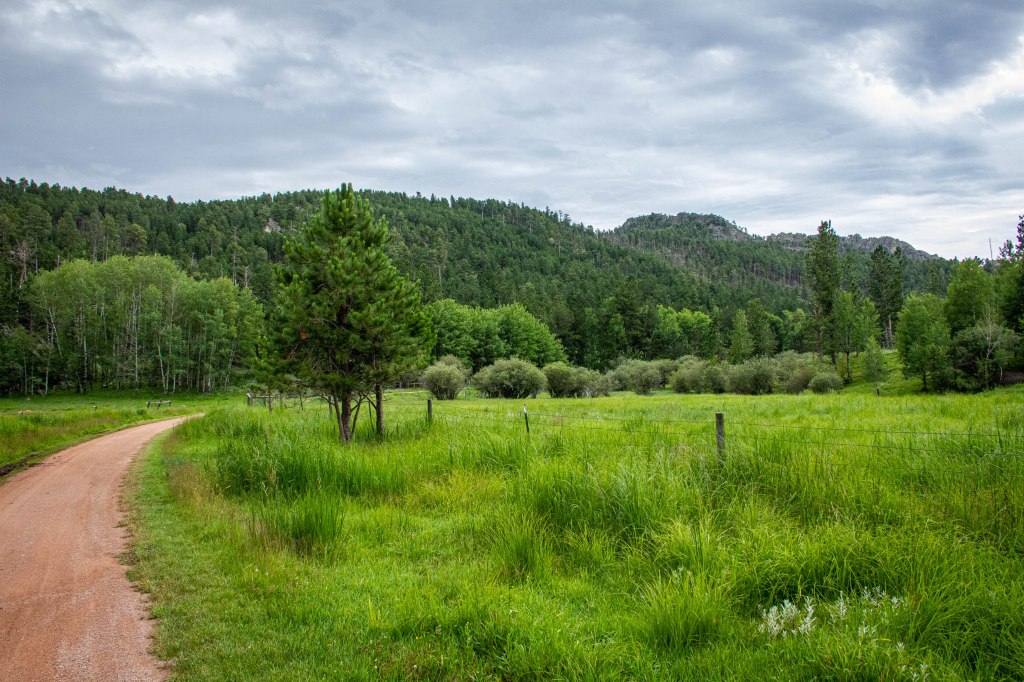
Flatter terrain
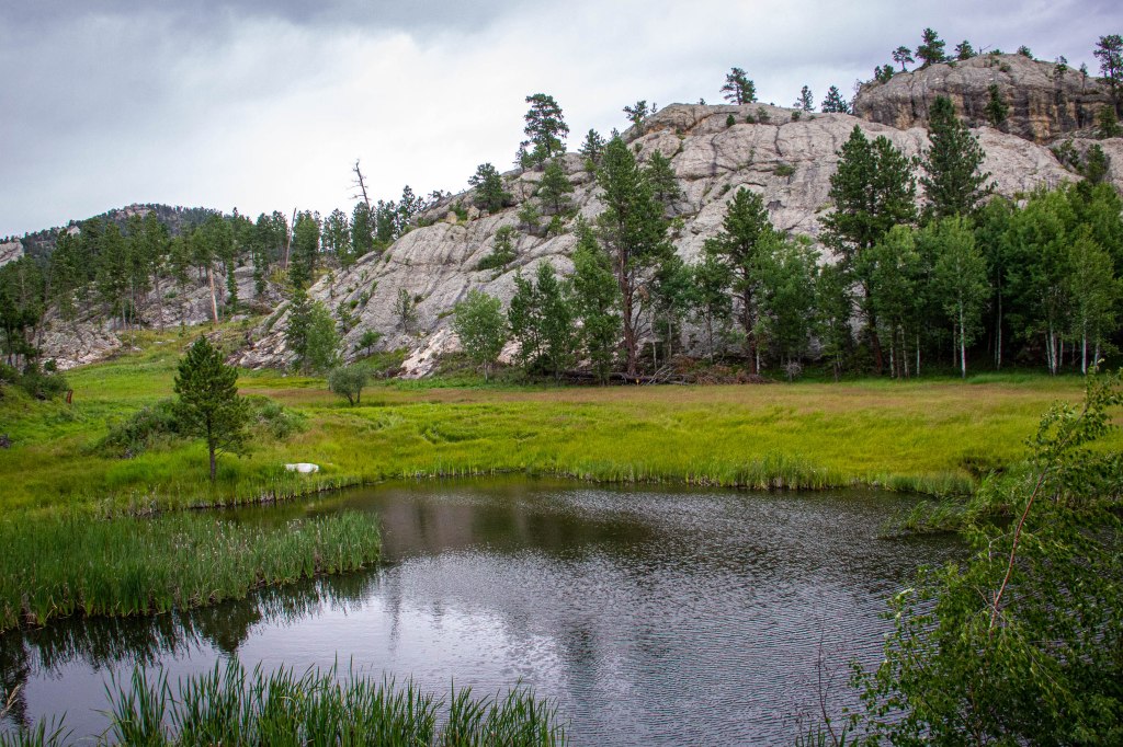
Blackhills with reflecting pool
A bit more open
Crazy Horse Memorial
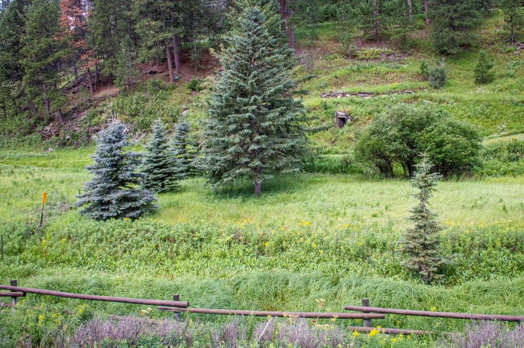
Old mine entranceTakin
Taking a break
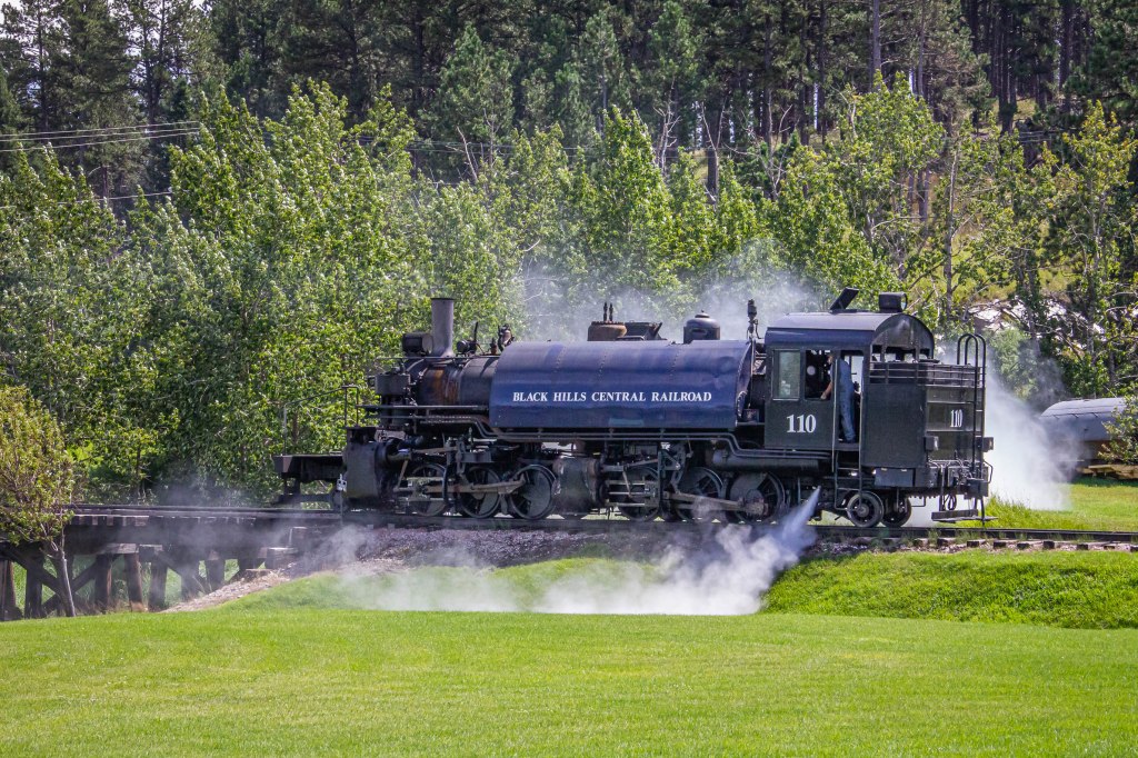
Hill City RR Museum
Aspens
Trail erosion wrought by heavy rainfall
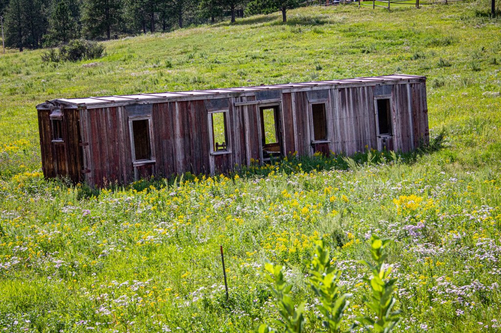
Abandoned RR car
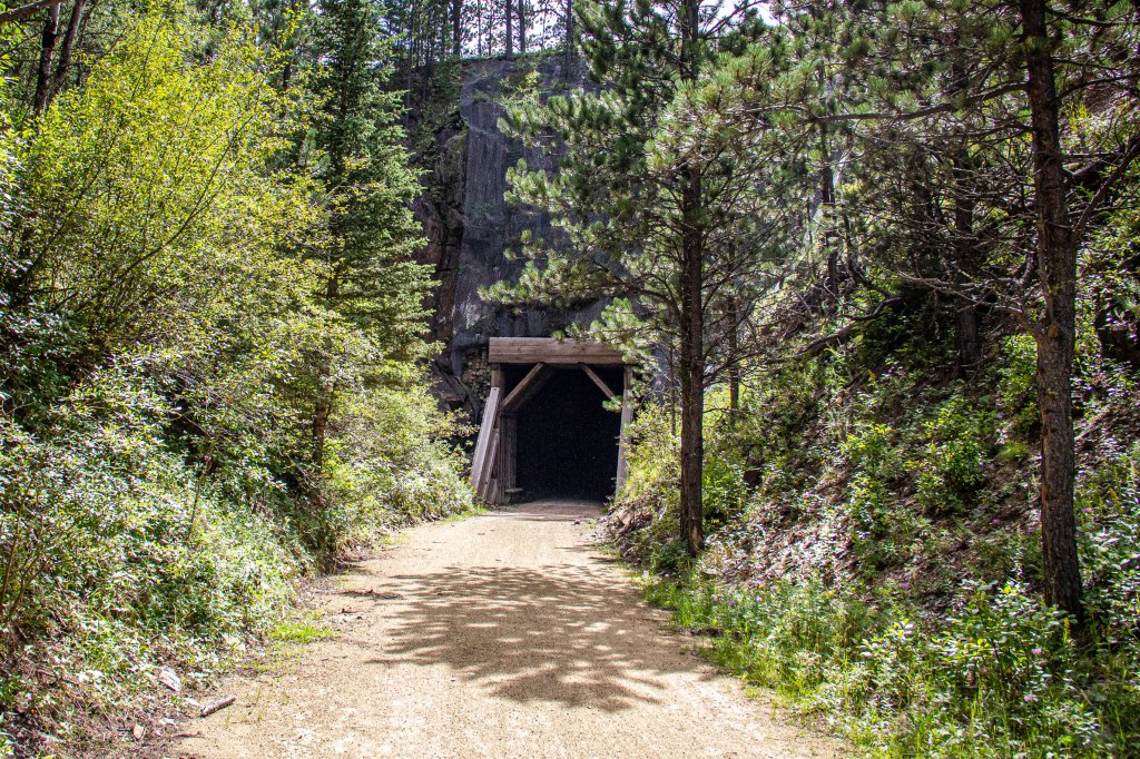
Tunnel “A” MP 72.5
Tunnel “B” MP 73.0
Today’s total mileage was 35.0 with an elevation gain of 1307 feet.
Packing took a little more time than usual as everything had been removed from the car, reorganized, and repacked in the car. Since the motel did not serve breakfast, we were on the way south to Deadwood, stopping for gasoline and breakfast sandwiches.
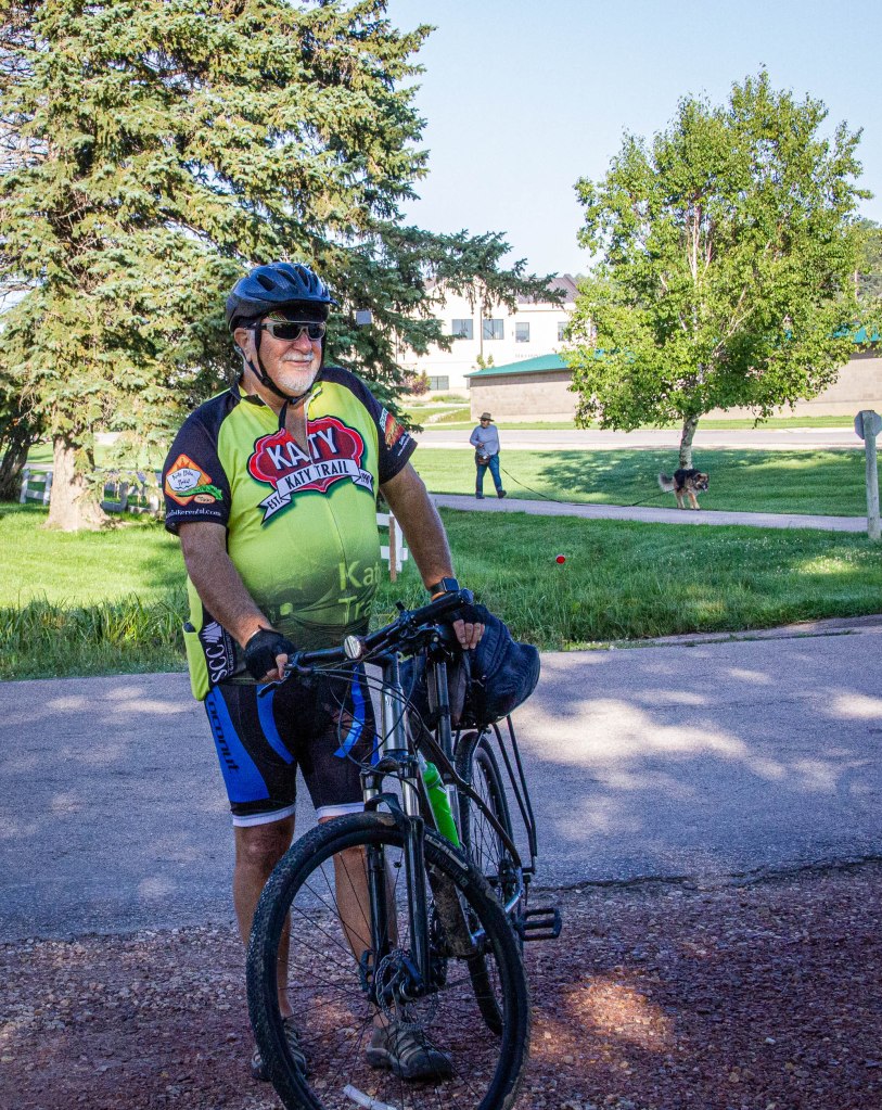
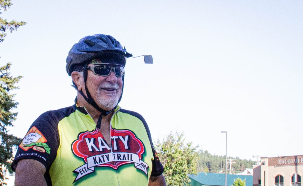
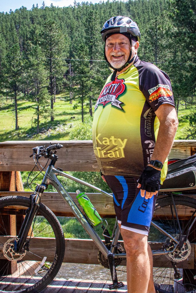
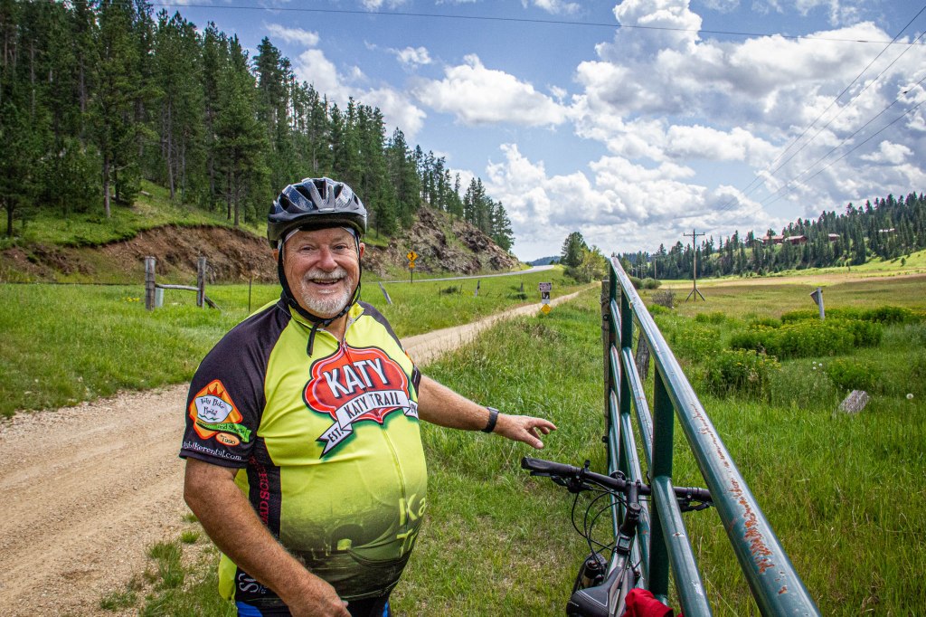
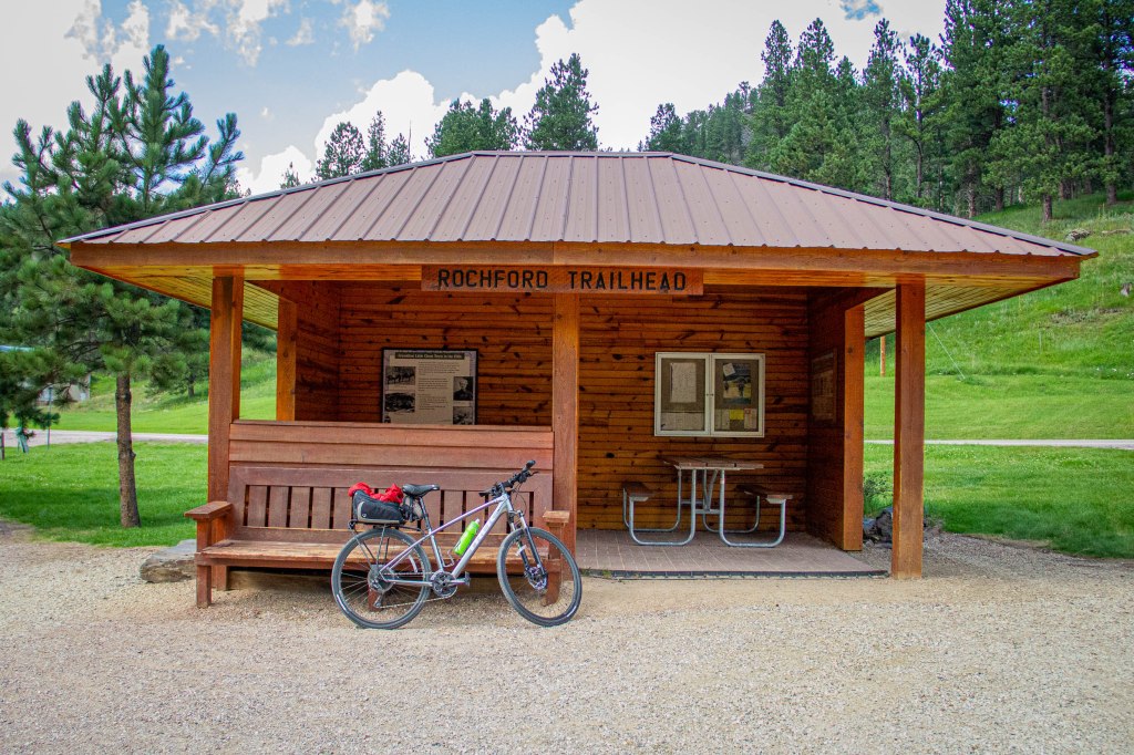
Kay shuttled me to Dumont Trailhead where I changed into a riding kit ( Spandex padded bibs and a Lycra Spandex KATY Trail Jersey). A “Beginning” photo was made and the ride south to Mystic Trailhead began. The first part of the trail sided a highway, but differences in elevations reduced traffic noise such that it was barely noticeable. Much of the adjacent land was being used as rangeland; consequently, several gates were across the trail. Accompanying old homesteads wildflowers bloomed along much of the trail and remnants of ranches were sparsely scattered about in this narrow valley. Further along, the gurgling sound of a trail side brook could be heard as the bicycle glided downhill. Just north of the Rochford trailhead, the first of 4 tunnels on the Mickelson Trail appeared (Tunnel “D” on the official trail map. MP 85.3). Even without sunglasses, going from daylight into the tunnel was a near blackout experience despite the bicycle’s strong headlight being on its brightest setting.
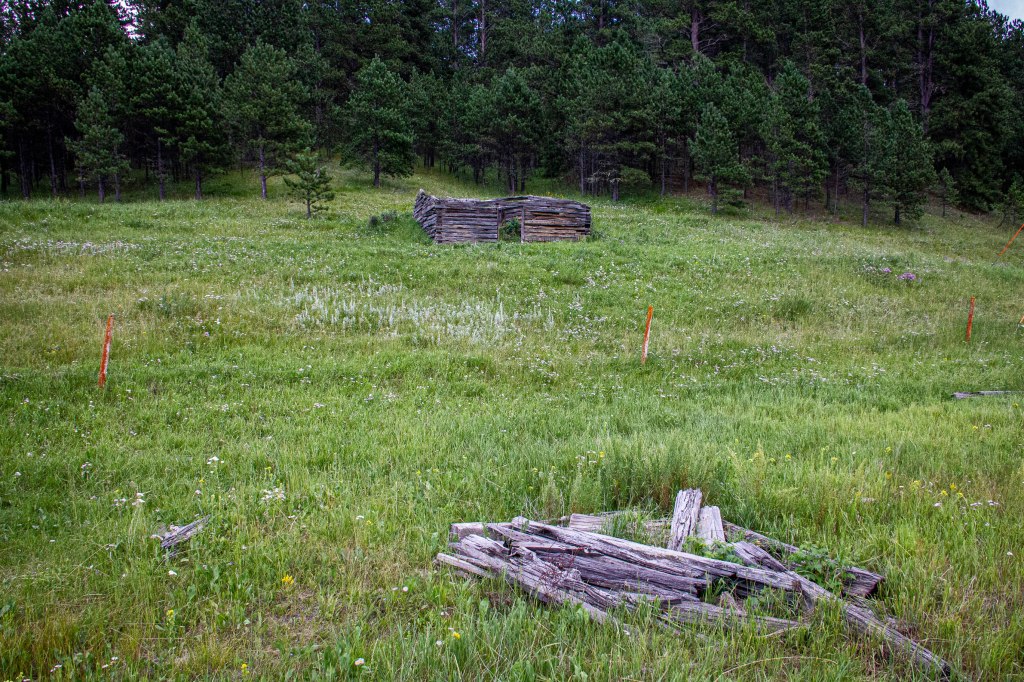
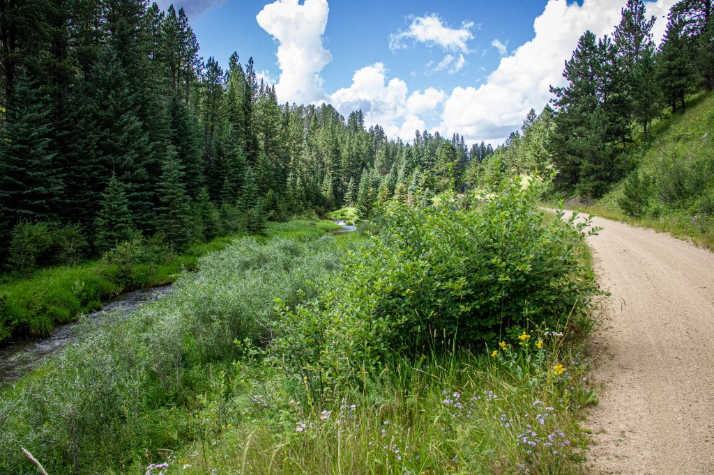
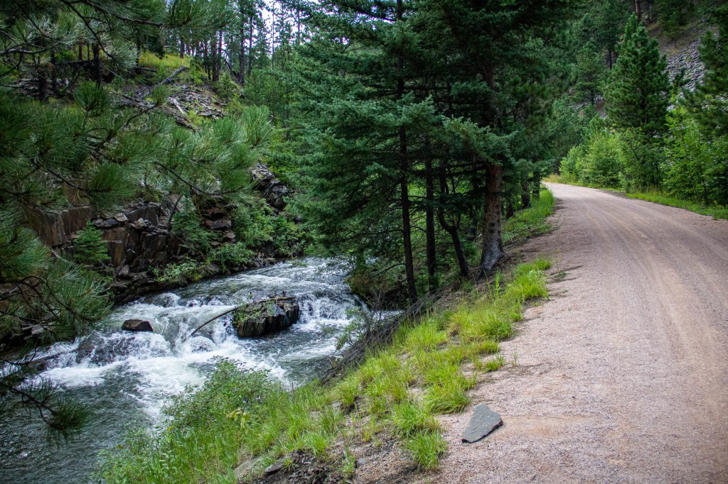
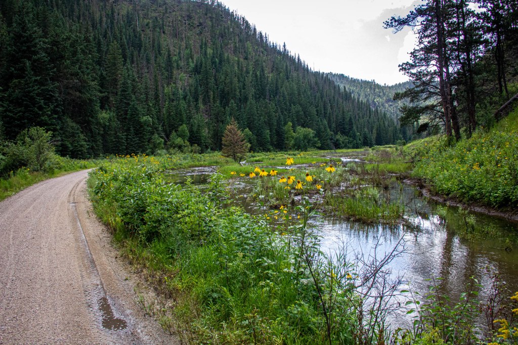
Past Rochford, the trailside brook became larger, and was occupied by increasingly larger rapids—music to the ear. Just north of Mystic, the trail passed through the second tunnel (Tunnel “C” on the official trail map, MP 76.9), a short one. Wetlands filled with wildflowers and tree-covered mountains encompassed the trail before arriving at the Mystic Trailhead.
This was the first of two rides on Wednesday, 18.19 miles with an elevation “loss” of 198 feet, and my first on the Mickelson Trail. The downhill glides were exhilarating! The only disappointment was about 10 miles into the ride, the right pedal fell off! And, this was the first time the new TREK DS 4 had been ridden. With a multi-tool bicycle tool kit, it was reinstalled and tightened until a larger pedal wrench could be found. Lesson learned: after a lengthy road trip and before a ride, carefully inspect the bicycle; don’t trust anything to chance!
Plans were to stay at a B&B in Spearfish for a couple of nights, then move to a Lead B&B for a couple of nights, before driving to Custer for one night at a B&B. Things didn’t work out as planned. Kay called the Spearfish B&B host to reconfirm reservations; having not received a return call, she phoned again, and then texted. Still, no response. We shuttled back to Dumont for the last “leg” of today’s ride.
At Dumont the right pedal was tightened with a large wrench at a trailhead bicycle tool station. The trail began an uphill 1.5 mile segment before flattening at it’s highest point at 6,216 feet. And then the fun began—for the next 5 or so miles the downhill trail ran through a deep forest, requiring little to no pedaling, and I reached a maximum speed of 33 mph (an advantage of having a big body) and probably exceeding the trail speed limit. Another short uphill section was followed by a couple of miles of flat trail. At this point, a spur trail broke off the left towards Lead, South Dakota, and residential and commercial development could be increasingly observed. In a hurry to reach Deadwood before dark, I inadvertently forgot to make photos—shame on me. The ride was 16.49 miles with an elevation gain of 349 feet, making the afternoon’s total 34.68 miles with a total elevation gain of 538m feet.
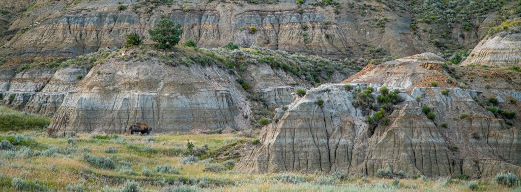
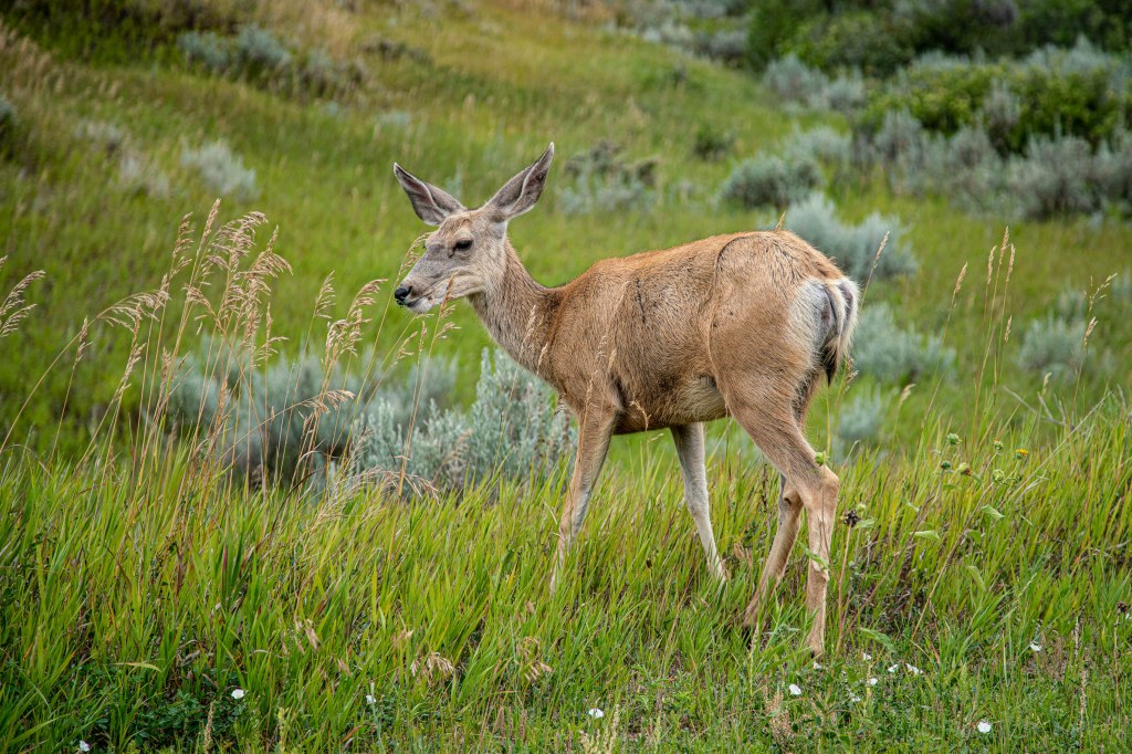
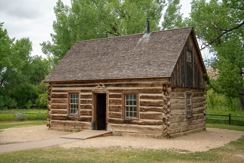
Late last night, we did a sunset drive through Theodore Roosevelt NP, our last foray into the park, and one that would yield a beautiful sunset and moon rise.
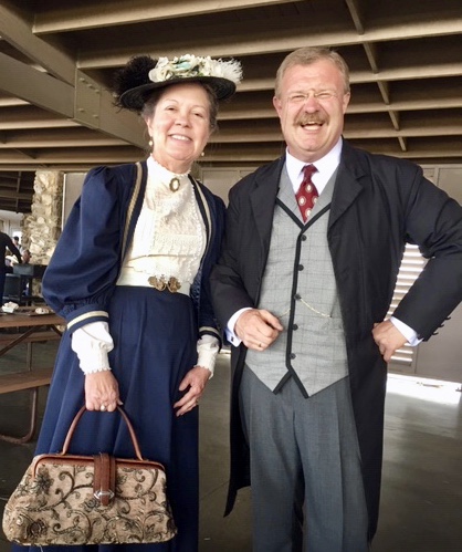
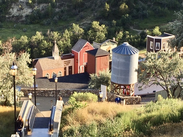
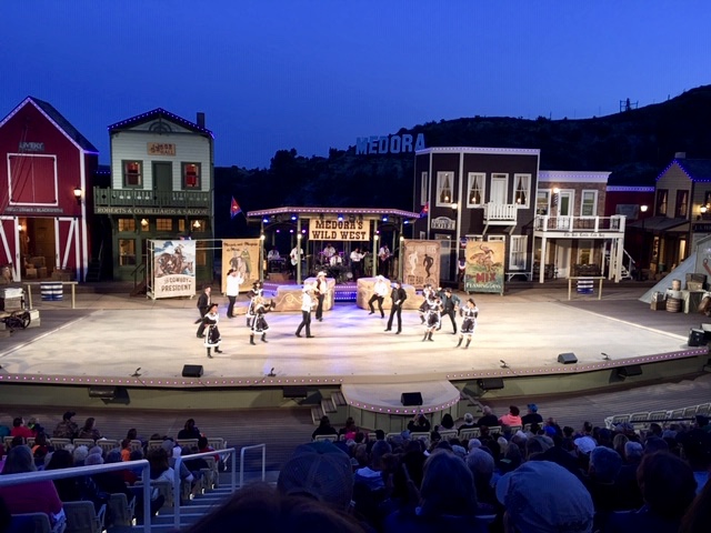
.A life list item, three days was plenty sufficient to see the sights unless one wanted to do a lot of hiking. The Medora Musical is a musical revue that produced each summer at the open-air Burning Hills Amphitheater near Medora, North Dakota. The Theodore Roosevelt Medora Foundation (TRMF) maintains the amphitheater and historical properties and projects in and near Medora (basically the who town, including restaurants, hotels, gift shops, etc.
The amphitheater was carved out of the side of the badlands in Burning Gulch by local volunteers, cast members and boys from the Home on the Range Ranch. The original theater seated between 1,000, and 1,200 people. It was constructed of wooden benches on the hillside with rustic buildings that formed a set around the stage. The natural acoustics of the hillside meant that no sound system would be needed.
The musical is a look back at the “Wild West” days of the region and includes references to Theodore Roosevelt, who spent time in western North Dakota, including in the nearby Theodore Roosevelt National Park.
This journal was begun several years ago, and reflects an accurate record of each day fished. Please enjoy it, and remember that fish are too valuable to be caught just once, and the places they live are too valuable to be mistreated.