
Given the uncertainty of having a place to stay last night, Kay booked a hotel room at Blackstone Lodge in Lead, SD, complete with three hot tubs; we recommend it and would stay there again. Be aware, though; restaurants close early in Lead.
Today’s ride was another two-parter. The first leg started at the Mountain Trailhead (MP 49.6) north of Custer, South Dakota. It was cold, very windy with 15+ mph winds out of the NNW, and spitting rain. The short 20-minute downhill ride was through a lush valley wrought with rock formations and small lakes, another piece of paradise, ending at the Harbach Park Trailhead (MP 44.5) in the resort town of Custer, SD. It was mostly downhill and WITH the wind.
The second leg would provide proof that I needed to lose a LOT of weight and get in shape! This part of the ride began at the Mountain Trailhead (MP 49.6) and proceeded northward. Immediately the Crazy Horse memorial came into view on the east side of the trail. Despite being uphill for the first 1-3/4 miles, pedaling was pleasant, especially knowing that the next 9+ miles were essentially downhill. Heavy rains, 3-1/2 inches the last couple of weeks and last night’s rain, combined to erode sections of the trail and deposit soft sand, now wet, in other sections. I had to pick the downhill track carefully, and the wet sand seemed to suck the air out of the 38mm tires, making for a slow downhill ride into Hill City (MP 60.1), where the trail lay beside a very nice railroad museum. I knew today would be the hardest, but had no idea how grueling it would be. As the uphill part (8 miles) of today’s ride approached, trail conditions worsened: the track was wet with long sections of soft wet sand, wind was howling down the trail, seemingly directly head on, the trail was uphill, and the elevation above 5,000 feet. I would have to stop often, and sometimes walk the bicycle. However the valley widened and scenery was again spectacular, including a small stream running beside the trail. Remnants of old mines and railroads were plentiful trailside. Finally, I made the crest and enjoyed a two mile downhill respite before another mile and a half uphill run, followed by a four mile downhill/level pedal to the Mystic Trailhead (MP 74.7), passing through two tunnels just north of Mystic. This segment was 25.88 miles with an elevation gain of 918 feet.
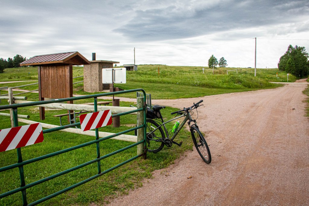
Mountain Trailhead 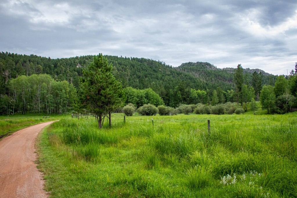
Flatter terrain 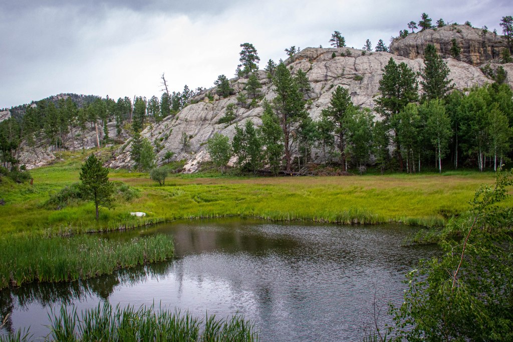
Blackhills with reflecting pool 
A bit more open 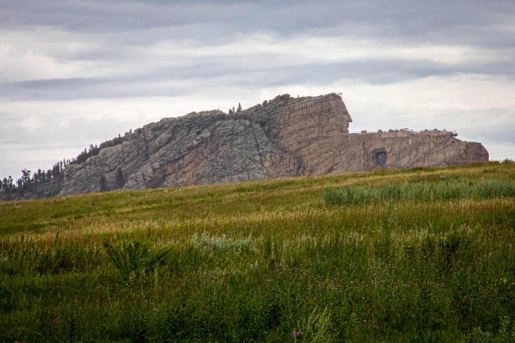
Crazy Horse Memorial 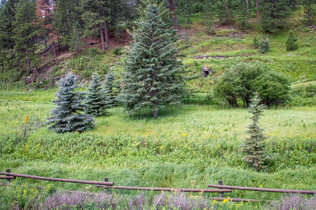
Old mine entranceTakin 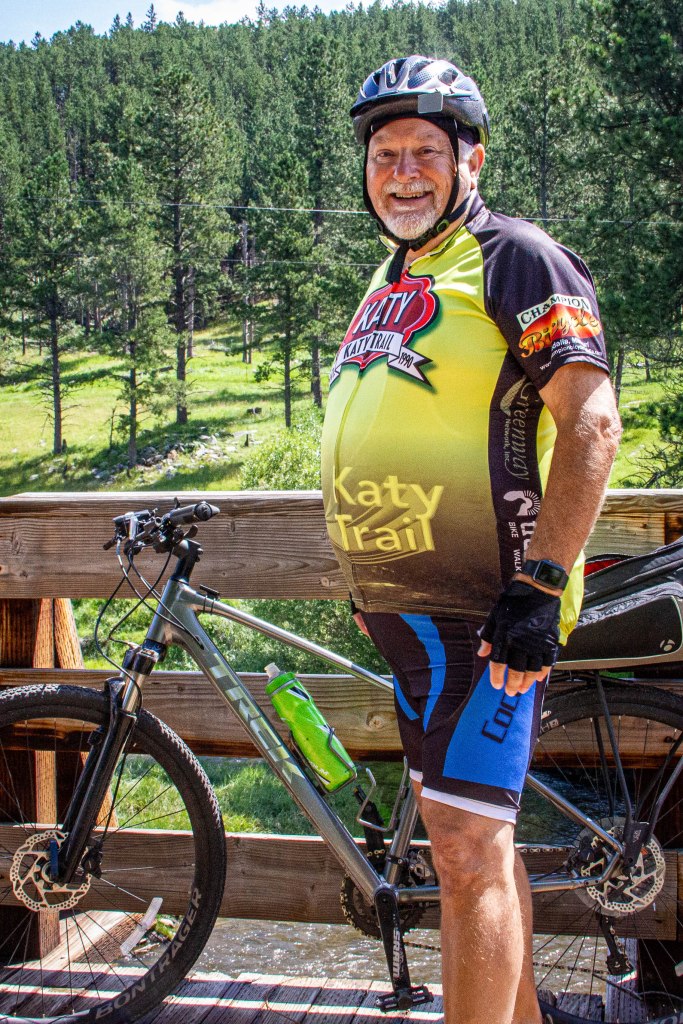
Taking a break 
Hill City RR Museum 
Aspens 
Trail erosion wrought by heavy rainfall 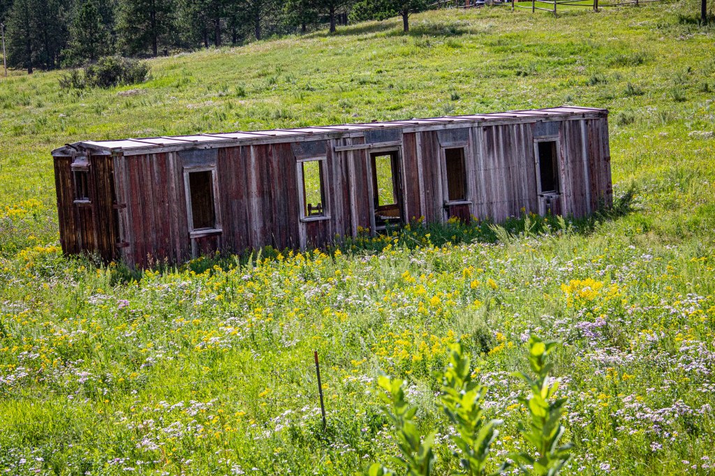
Abandoned RR car 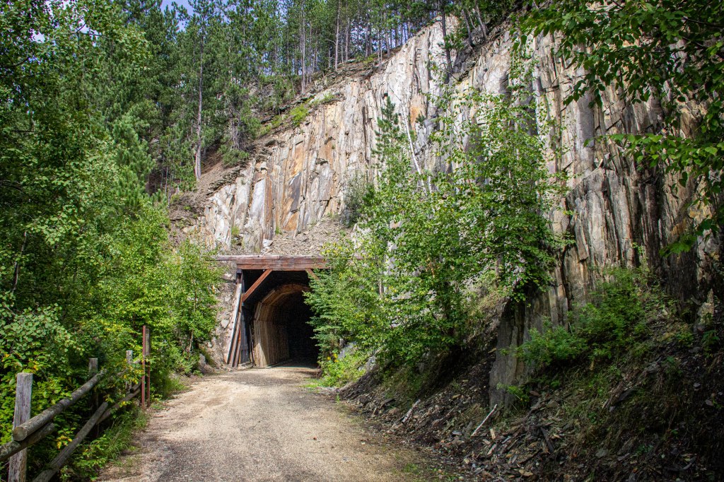
Tunnel “A” MP 72.5 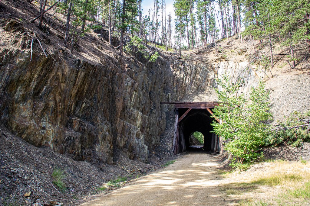
Tunnel “B” MP 73.0
Today’s total mileage was 35.0 with an elevation gain of 1307 feet.
