Traveling mandates a degree of flexibility, particularly if one is in an RV. I am spending ALL of today at the Honda dealership in Asheville, NC, for right front wheel bearings, new brake pads and adjustments, tire alignment necessitated by new front wheel bearings, draining, flushing, and adding new fluids to the rear end (not mine, fortunately, but it probably needs it, too), other new fluids, etc. to the tune of about 3 car payments. This was unplanned and unexpected, but the car has almost 160,000 miles. Meanwhile, Kay washed clothes, packed for an upcoming road trip, and tidied up the motorhome. We would rather be hiking. However, we are truly blessed that we can afford the time and cost for the repairs, especially now with such high unemployment among the population.
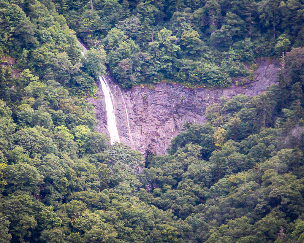
Trying to forget about the disappointment yesterday (Tuesday) of not hiking to the top of North Carolina’s Chimney Rock, we traveled the Blue Ridge Parkway north to return to Mount Mitchell (via NC Hwy 128 at MP 350) to walk to the summit (it was raining during our trip here last week). At Milepost 361.2, we stopped to view Glassmine Falls. While the sign at the overlook claims it is 800 feet tall, it is likely only about a 200-foot drop. This is the only view of Glassmine Falls, and you cannot hike to its base.
Glassmine Falls along the Blue Ridge Parkway
Just after beginning the short hike, the mountain became shrouded in light mist. Further up the trail, the mist became heavier, turning into a light rain. Though we brought raincoats, neither of us had thought to take them out of the car! By the time we returned in a full blown rain, we were soaked; thankfully, the camera and lens were water resistant.
Cloudy, but dry, as we began the walk/hike to the top of Mount Mitchell, NCWe made it; it’s lightly rainingOur spectacular view amp Mount Mitchell, NC
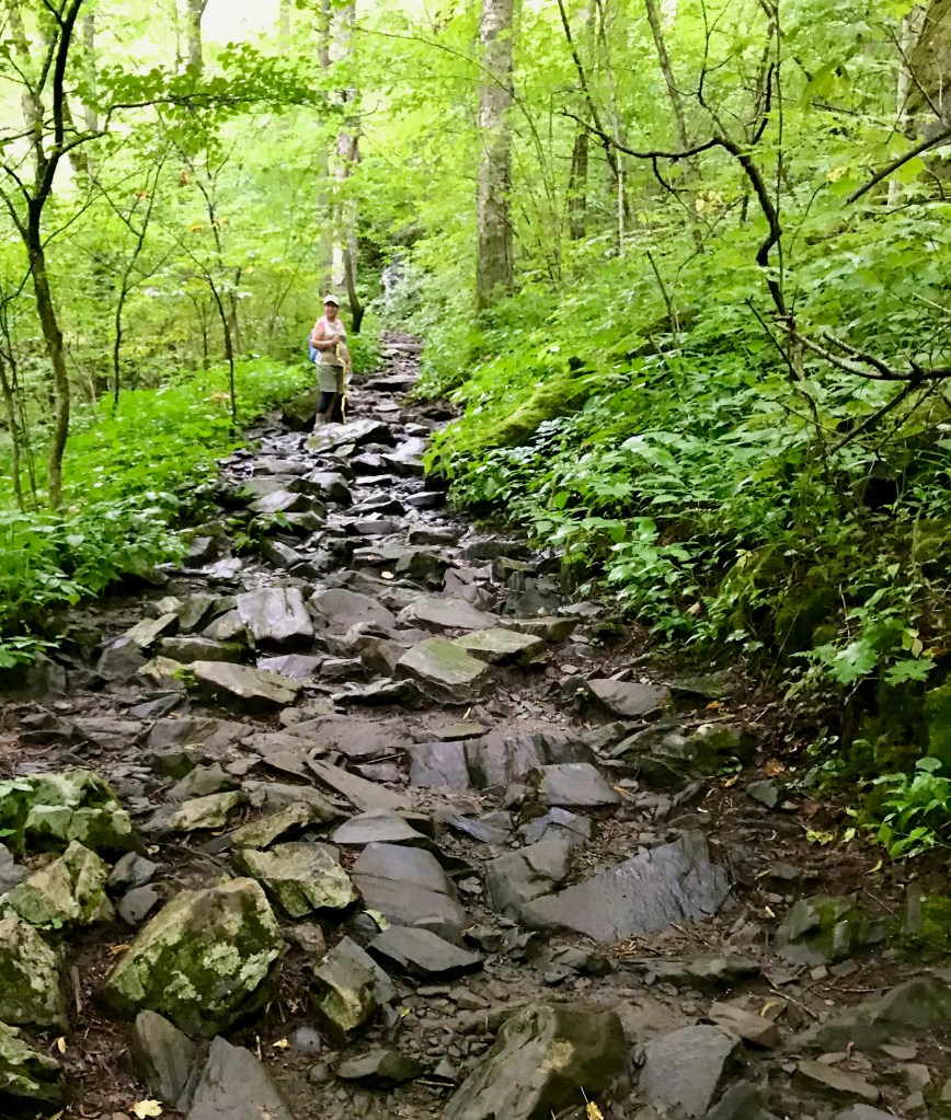
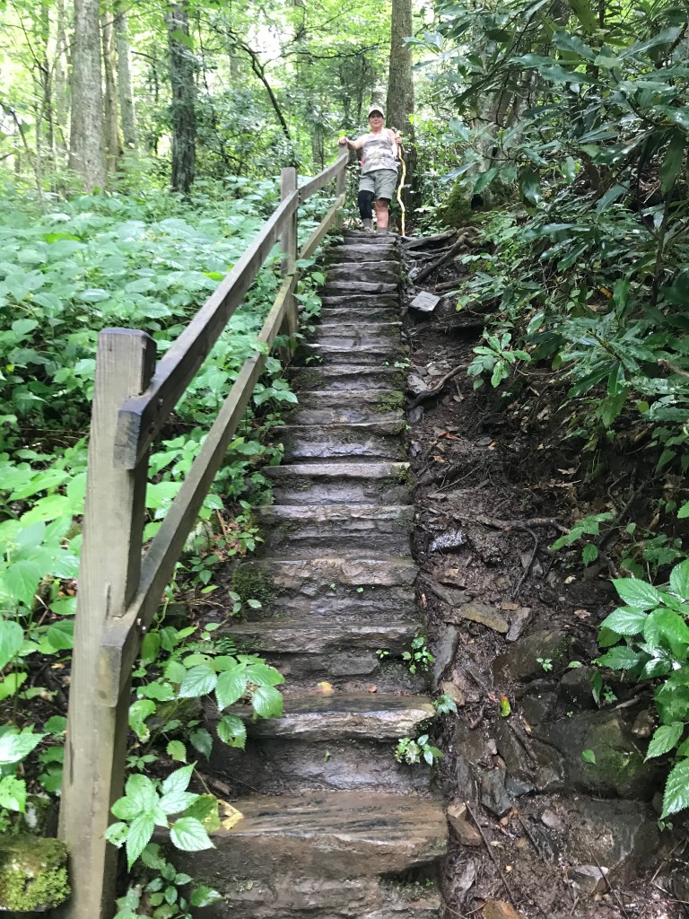
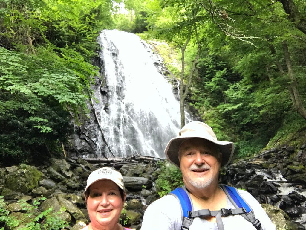
From Mount Mitchell, we continued north on the Blue Ridge Parkway to Crabtree Falls, MP 339.5. The Falls is accessible via a 3-mile woodland hiking trail, with a steady and sometimes difficult descent and return climb on craggy rocks and stone staircases. The 70-ft. waterfall was worth the trek! Once again, few people on the trail wore masks.
Beginning the hike from near the parking lotTough hiking over this craggy rubbleWe both used caution descending and ascending these stone stairsCrabtree Falls
On a roll, we continued north to Linville Falls, MP 316.3. Linville Falls is the most visited and photographed waterfalls in North Carolina. The Falls drops 90 feet into the 12-mile long Linville Gorge with cliffs towering above the river. We took the Erwin View Trail, an easy 1.0 mile roundtrip hike to the Upper Falls overlook. At the Upper Falls overlook, one can observe the cascades and watch the water rush into a narrow canyon before it plunges 45 feet over the lower falls. A quarter mile further, the Chimney View overlook offers an excellent chance to photograph both the upper and lower falls, along with the impressive cliffs. Because of the crowds and lack of “masking”, we did not do this segment. This falls reminded us of the Athabaska Falls between Banff and Jasper in Alberta, Canada.
Beginning the hike to Linville FallsKay at the Upper Falls overlook—double cascades behind her, falls in front and to her left,The narrow canyon just before the falls
On the two-hour return trip to the motorhome, we stopped at Walgreens in Waynesville to pick up an early birthday present for yours truly, a 28-200mm f/2.8-5.6 Di III RXD from Tamron to use on the Sony a7riii mirrorless camera. (Another thing 8 learned from a Getaway Couple (https://www.getawaycouple.com) was that each Walgreens has a delivery station for FedEx (a great asset for travelers). Back at the motorhome, we collapsed and thoroughly enjoyed an adult beverage before showers and bed.
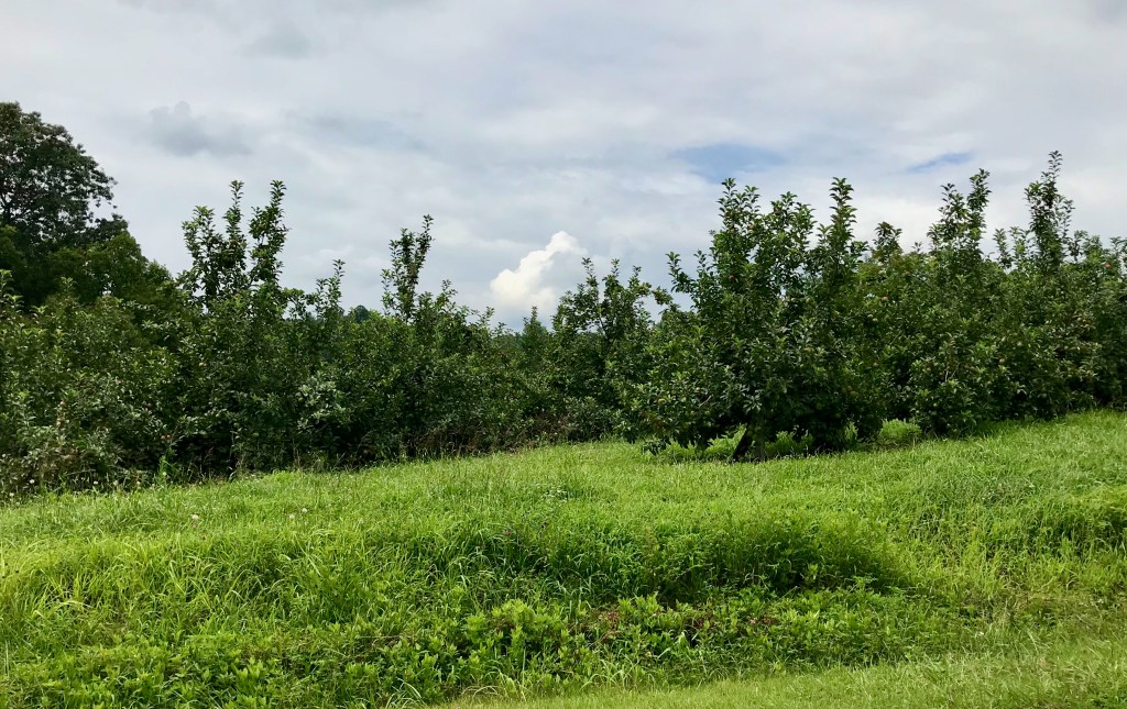
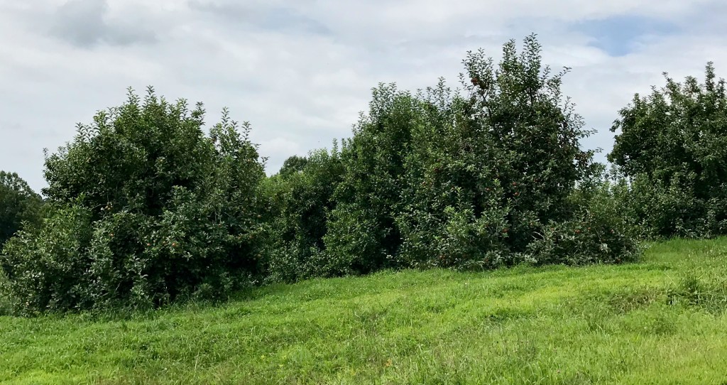
The older and “more retired” I get, the longer it takes to get started, particularly when I forget little tasks I plan to do! Consequently, it was just before lunch when we began driving towards Chimney Rock State Park, south and east of Asheville, NC. Our first stop was Camping World—it was the cleanest and most fully stocked Camping World we’ve seen. After purchasing an aluminum step and awning tie downs, we continued towards the state park. Regrettably to add to our delays, the Garmin GPS routed us to a dead end. The silver lining in this dark cloud was the numerous apple orchards along the hilly and curvy rural roads.
One of many apple orchards along the wayOrchard after orchard were seen along the road
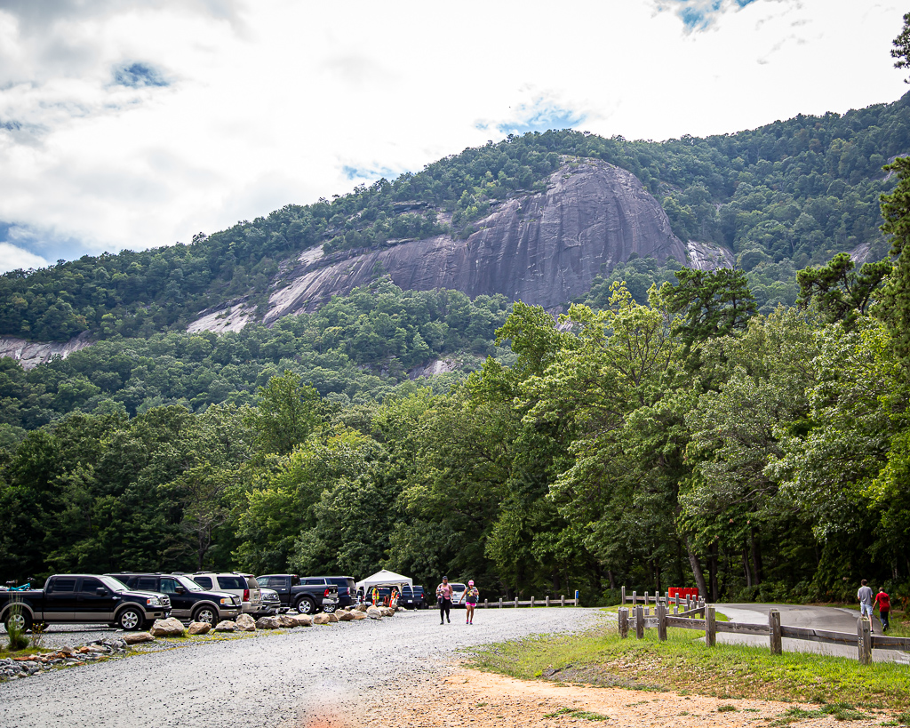
Some 45 minutes later, after rerouting using Apple Maps (I highly recommend this app), we arrived at Chimney Rock State Park, paid our $17 each, drove to the parking lot, and write for the buss to the trailhead. The bus was packed, and most riders did not have masks. With this and the already late hour, we turned away and returned to the motorhome. It is frustrating that “Practice social distancing” signs are posted all over, but this state park does not fully practice it. And, we are seeing so few people wearing masks.
Chimney Rock in North Carolina, a granite monolith
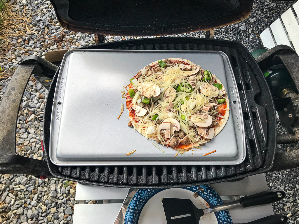
Having watched a VLOG entry on Getaway Couple (https://www.getawaycouple.com) where they had “pizza night”, the thought of having our own pizza night was quite appealing. However, we had to find an alternative to the calorie-rich entree. Using low carb tortillas, turkey sausage crumbles, green pepper, jalapeño pepper, onion, mushrooms, pizza sauce, and mozzarella and Parmesan cheeses, we gave it a try. With no pizza stone (we’ll remedy this next time we travel), we used an inverted cookie sheet, and cooled the pizzas 10 minutes on a HOT grill. OMG (oh my goodness), they were fantastic; this will become a regular on our trips.
Pizza ready to cook over an inverted cookie panPizza after cooking on/in the grill
“If it’s rockin’, no knockin” is a humorous phrase used in the RV world intended to mean … well, you get my drift. This morning, as I was in the front of the motorhome working on the blog, Kay was in the back catching up on email and news. I felt the RV rockin’ as it does when someone jumps or otherwise makes a big move, and just assumed Kay was moving about on the bed to find the remote control or something. She thought I was moving about in the front of the coach. Except this time, the rockin’ went for several seconds longer than what we normally feel. About an hour later, Kay noted that there was a 5.1 earthquake in Sparta, NC, some 150 miles from us, as the crow flies. This is the third earthquake I’ve personally witnessed, all over 5 on the Richter scale, and it’s a weird feeling! After this jolt, we got an earlier start than usual preparing, eating, and cleaning up after breakfast.
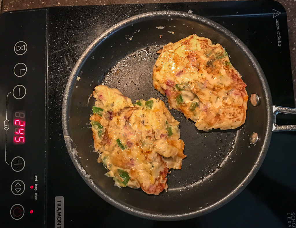
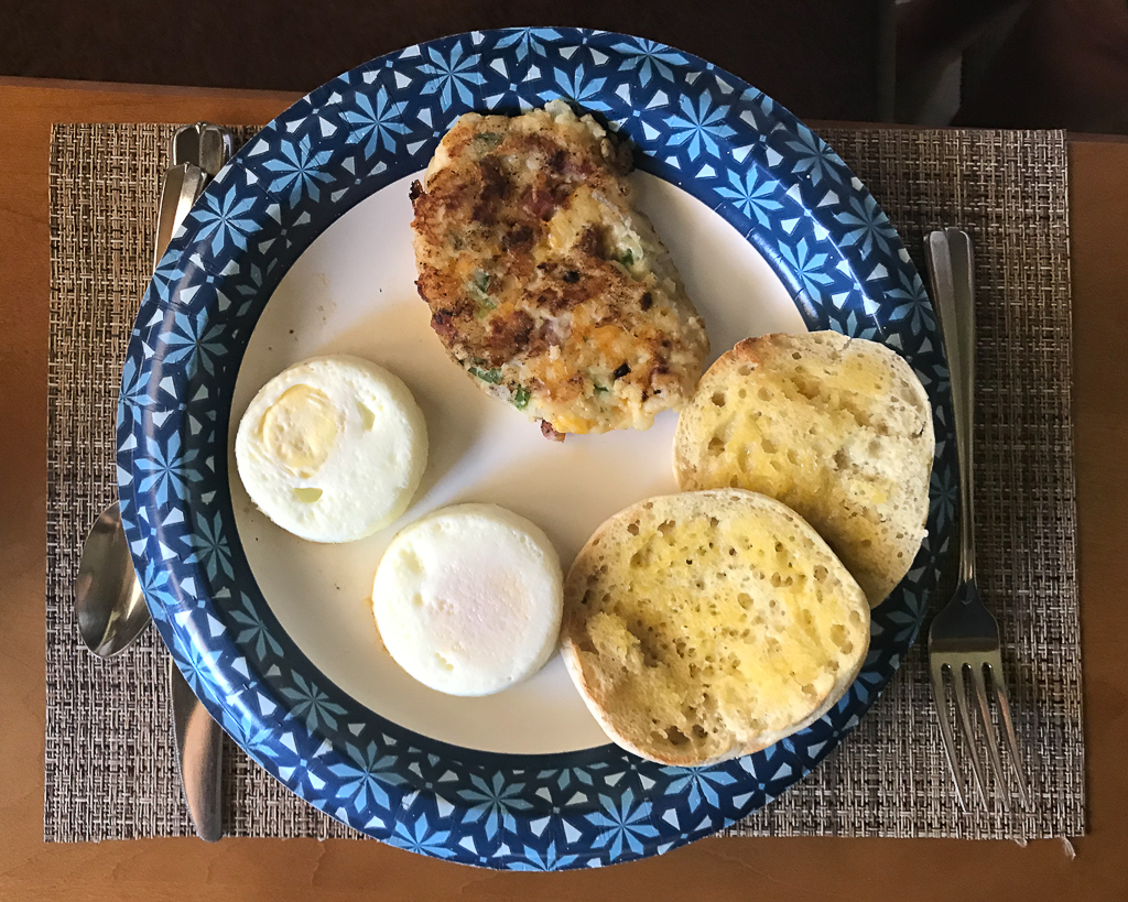
Pancake Hashbrowns—Potato pancakes with ham, onion, green pepper, and cheddar cheese Baked eggs, pancake hash browns, and English muffin for breakfast
A second cup of coffee later, we drove to Junaluska. The wildflowers, butterflies, and two-mile walking path around the lake were too appealing to do only once (see blog post, Saturday, July 25). It was crowded, but about half the people were masked and most “socially distanced”. The area near where we parked had the best wildflowers and butterflies, but we walked the whole 2.1 miles, with the camera-mounted tripod (shy of 10 pounds) gouging holes in each shoulder—gotta remember to bring the padded tripod sleeve.
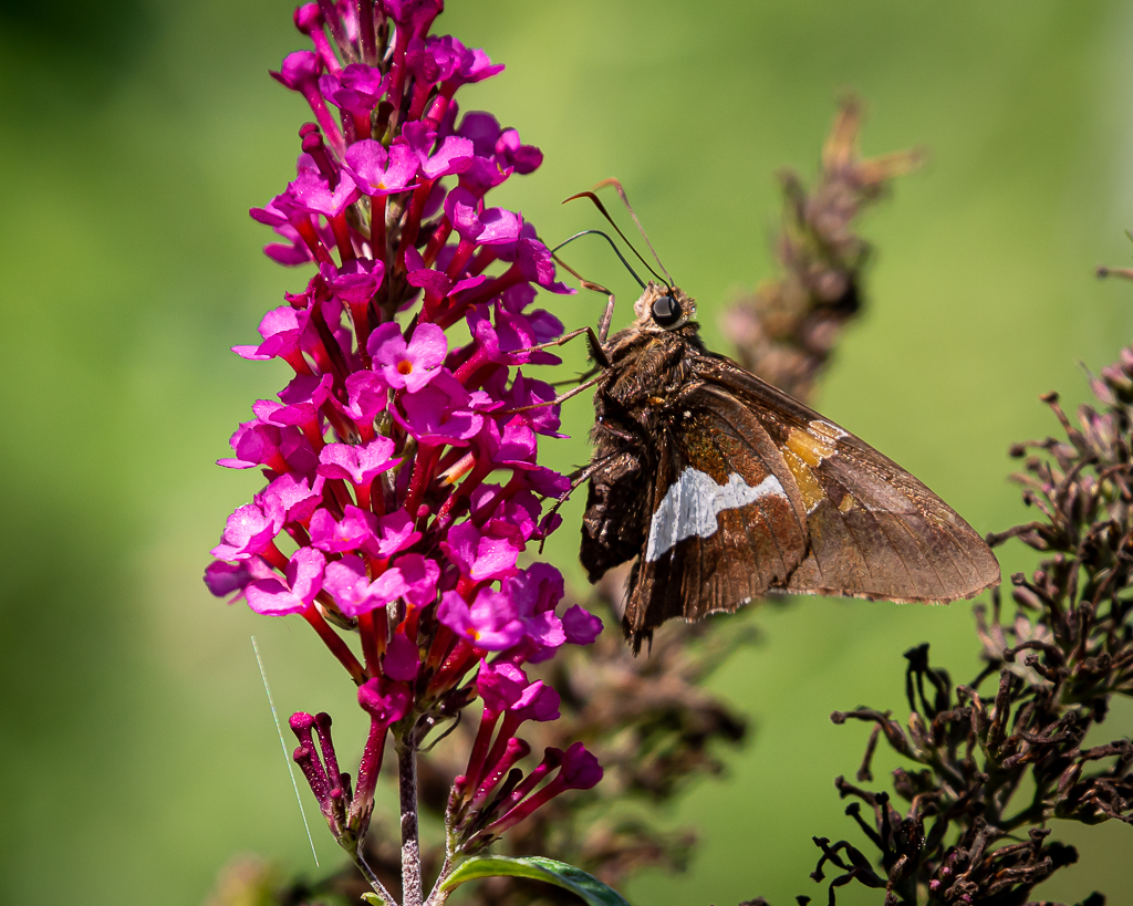
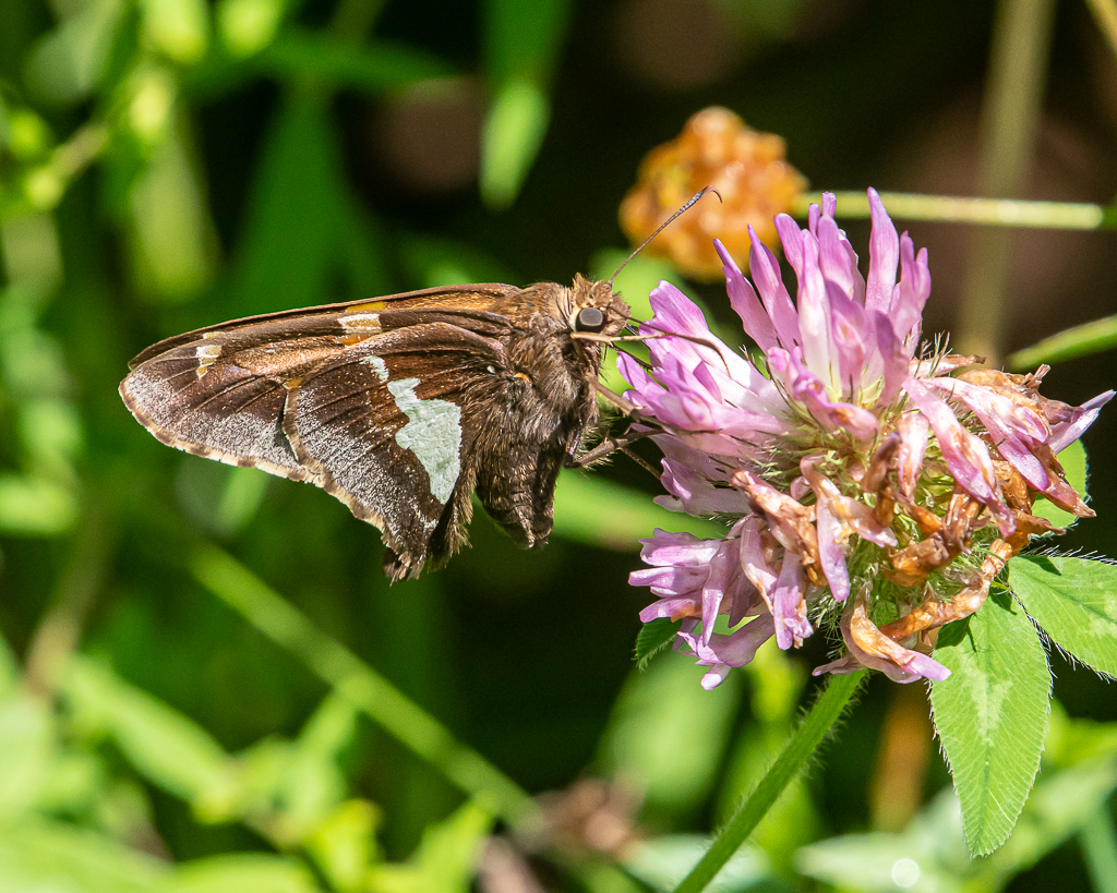
Silver-spotted Skipper
Eastern Tiger Swallowtail
Blackberries
Dragonflies
Viceroy
For you dog lovers
After the walk, we strolled through a natural garden filled with native plants, but it was too dark to attract pollinators, thus, few photos were made.
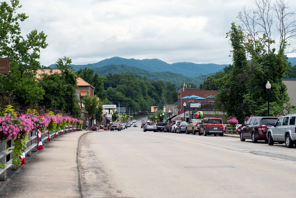
After a late start Saturday morning, we drove to Bryson City via Cherokee. Bryson City is a neat town, but was a bit too crowded for us. Consequently, we did not stop and walk around, but drove the main city streets. Except for it being larger, population wise, it reminded me of the town where I grew up, which is now only a shadow of what it used to be. Bradford, AR, was a vibrant country town in the 1950s when folks would come from their farms and rural places for all day shopping, mainly for groceries and visiting. The sidewalks were full and the main street was busy. Update to 2020, and you have Bryson City—except there was no pandemic and no need for masks in 1950s Bradford; only the fear of polio.
Bryson City, NC
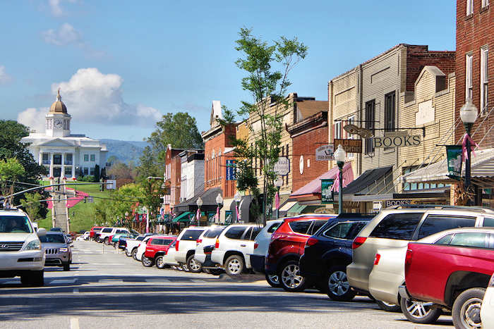
From Bryson City we drove to Sylva. With 2,500 people, Sylva was larger than Bryson City, and though considered an historic town, appears to be modern and thriving with small businesses and fast food restaurants.
Sylva, NC
Again, we drove the main city streets, and then departed for Maggie Valley. As is now the custom, it began raining in the late afternoon and rained hard for two or three hours, preventing sitting outside for adult beverages.
Thursday was uneventful as I stayed in the motorhome most of the day while Kay shopped (looked).
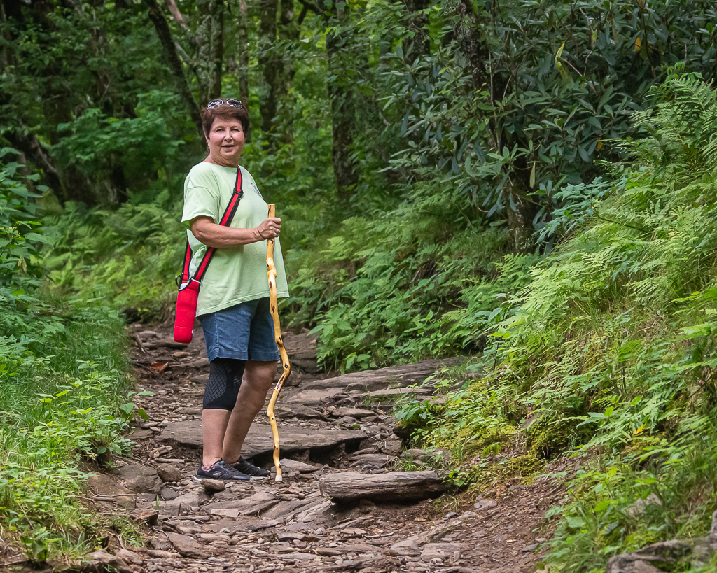
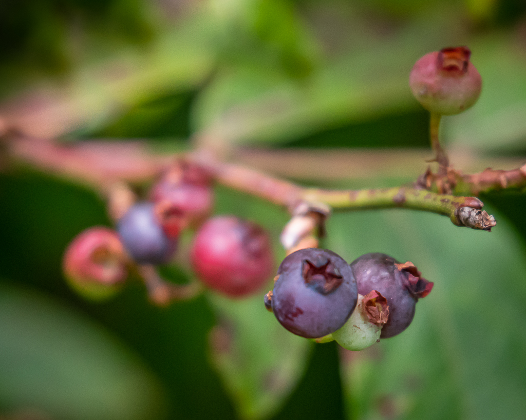
Most mornings, I am so slow to get going; quite a difference from back in the working days when I hit the ground running. It seems that we’ve developed a routine of going out every other day, and today (Friday) was the day! After homemade breakfast burritos, we drove I-40 to Asheville, and then the Blue Ridge Parkway north up, up, and up to mile-high Craggy Gardens. As we approached the area, a sign appeared for the Craggy Picnic Area to the left. It was only a short drive to the parking area. From there, we hiked upward almost a mile to the 5,680 ft high Craggy Flats, eating a blueberry or two along the way.
Kay on the trail to Craggy GardensLots of blueberries, though the ones we ate were a little tart
Even though expecting it, the “bald” surprised us as it resembled a palette of colors—generated by the numerous wildflowers in bloom. One can only imagine what it would be like in mid-June when the pink and purple blooms of Catawba rhododendrons blanket the area. It was pleasantly surprising to observe almost everyone hiking the trails wore masks, including children; says a lot about those who enjoy nature!
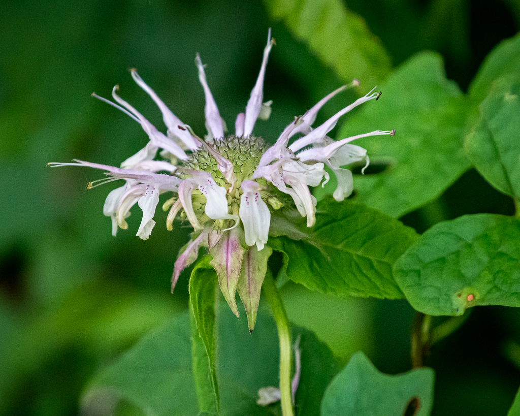
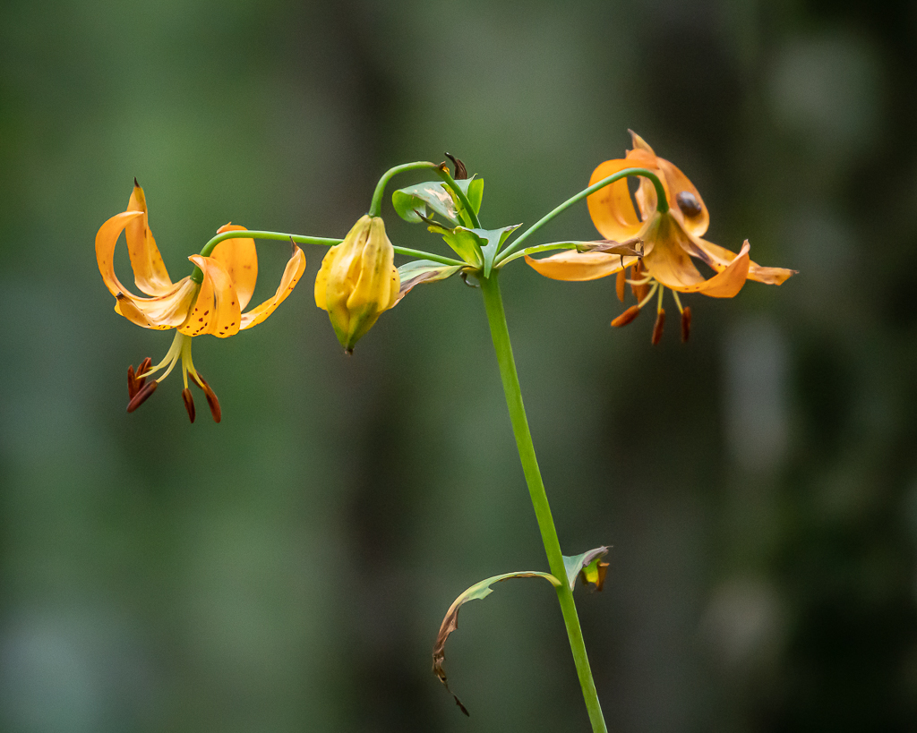
Turk’s Cap Lily was one of my favoritesThese birds were everywhere—in the shrubs, on the trail, and in the grass
Twisted, jagged, rocky “crags” give Craggy Gardens its name, but these high elevation summits are home to the most spectacular floral display along the 469-mile Blue Ridge Parkway corridor. Craggy Gardens has been recognized by the state of North Carolina as a Natural Heritage Area.
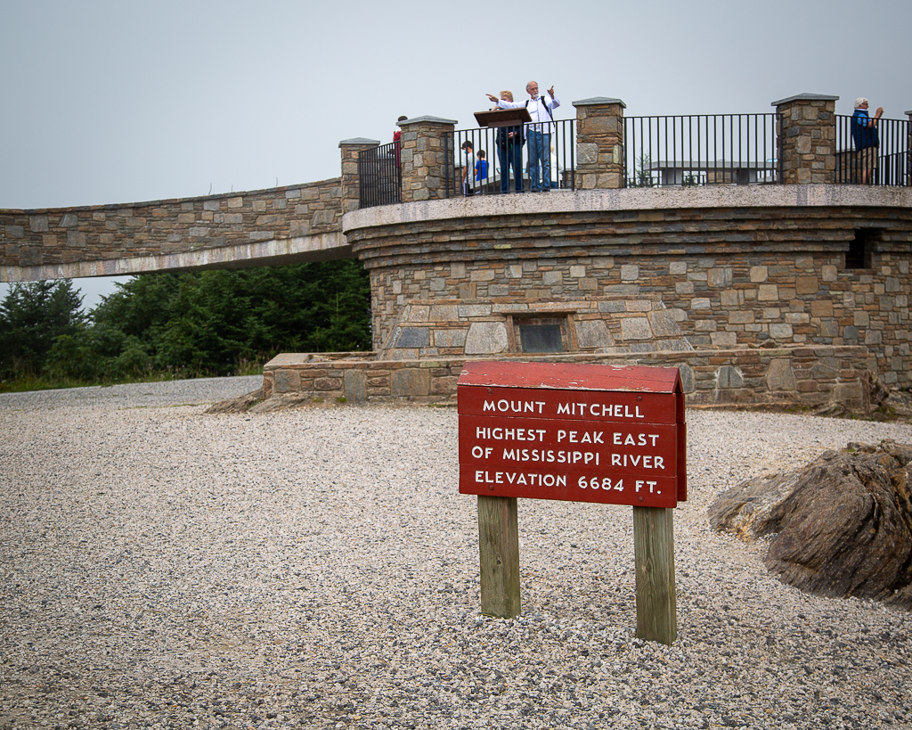
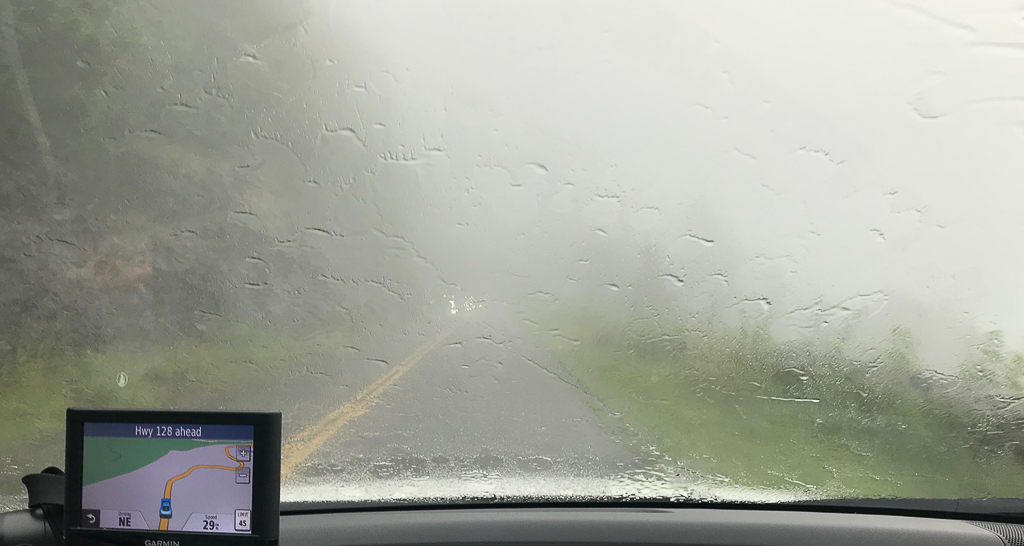
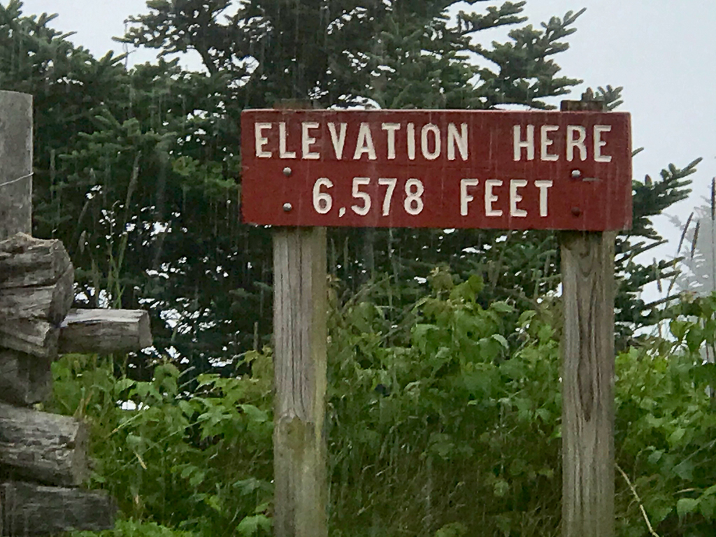
Just as we were finishing the hike, it began sprinkling and then turning into a full blown rain. From Craggy Gardens, we drove in the deluge of rain to Mount Mitchell, the highest point east of the Mississippi River at an elevation of 6,684 feet.
Driving through the clouds at elevation 6,000+ feet
The state highway took us almost all the way to the top. With continuing rain, we did not hike the few feet to the summit, but grabbed a quick photo our the wind. It continued raining most of the afternoon, but quit as we returned to the motorhome about 6 PM.
Today was another laid back day. With the pandemic surging and the lack of personal safeguards among the public, we try to stay away from people. However, Kay made an exception and met a friend with whom she taught many years ago and who is staying in the area for a few weeks. They had lunch, and reminisced about old times, catching up of news related to common acquaintances, all the time social distancing.
In the late afternoon, despite the threat of rain, we drove northwestward in an attempt to find Cataloochee Valley, a tiny piece of GSMNP. The road had many switchbacks as the car slowly climbed on the asphalt pavement, and even more slowly as the pavement transitioned into gravel. Kudos to the National Park Service for their great maintenance on a tight budget. Some segments of the road were so narrow that there was room for only one vehicle to pass, but there were many pullovers to accommodate the traffic. And then, it was back to pavement and just when we thought we were lost after a few more miles, a dead end and parking area awaited us—Cataloochee Valley.
View enroute to Cataloochee ValleyThe ascending clouds looked like smoke signals from olden times, and somewhat reminding us of Yellowstone NP
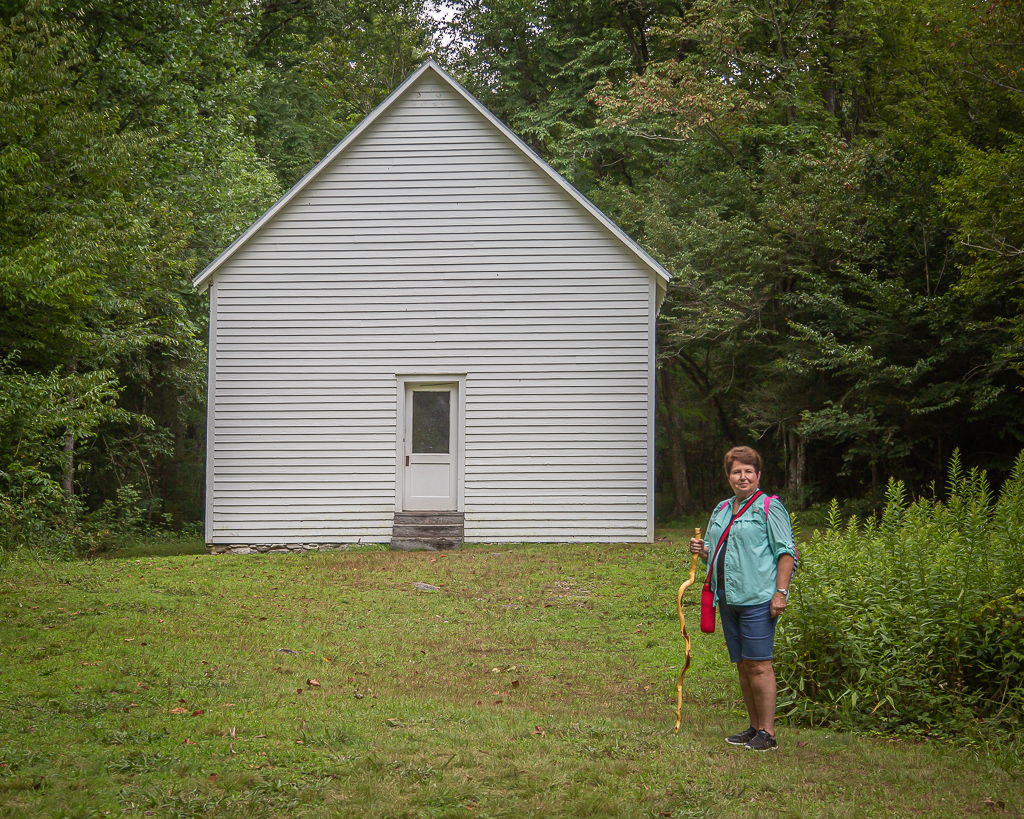
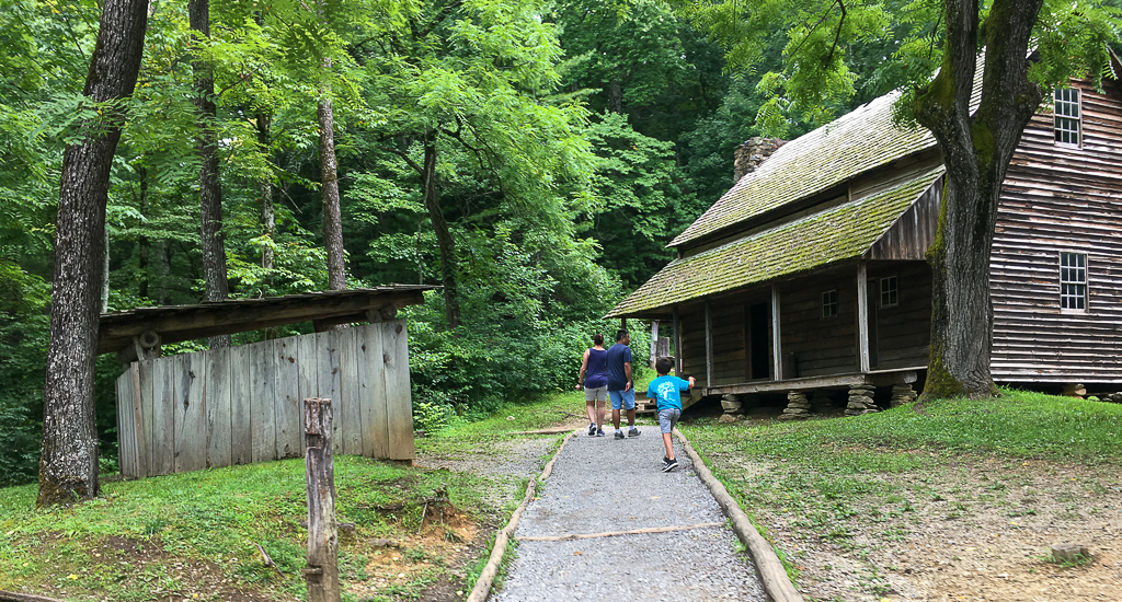
Cataloochee Valley is nestled among some of the most rugged mountains in the southeastern United States. Surrounded by 6000-foot peaks, this isolated valley was one of the largest and most prosperous settlements in what is now the Great Smoky Mountains National Park. Some 1,200 people lived in this lovely mountain valley in 1910. Most made their living by farming, including commercial apple growing, but an early tourism industry developed in Cataloochee with some families boarding fishermen and other tourists who wished to vacation in the mountains. A variety of historic buildings have been preserved in the valley, including two churches, a school, and several homes and outbuildings. This is considered the Cades Cove of North Carolina.
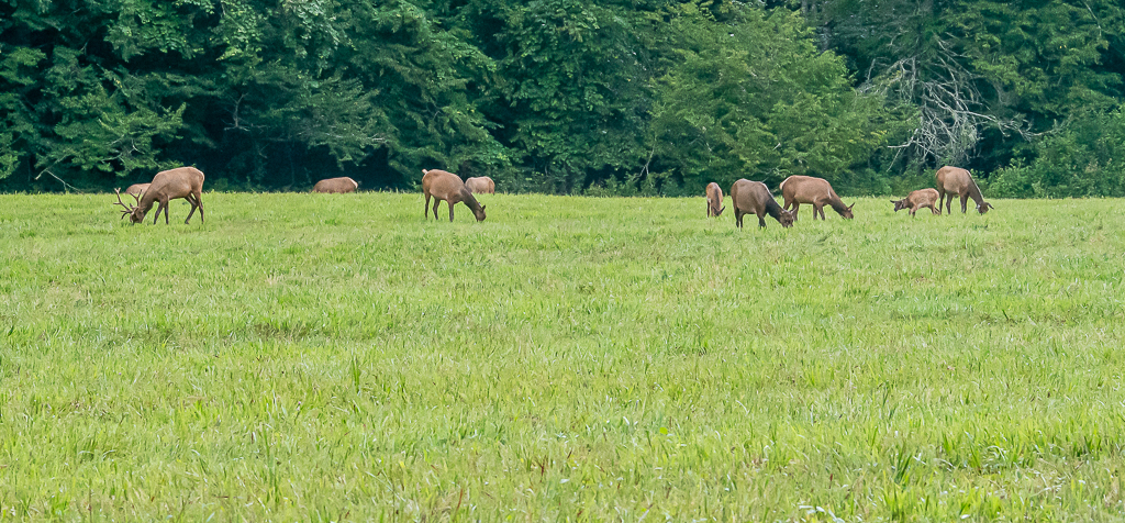
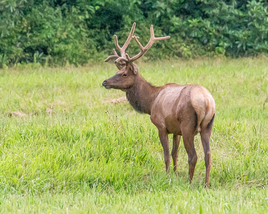
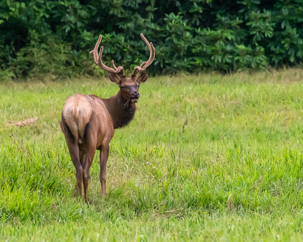
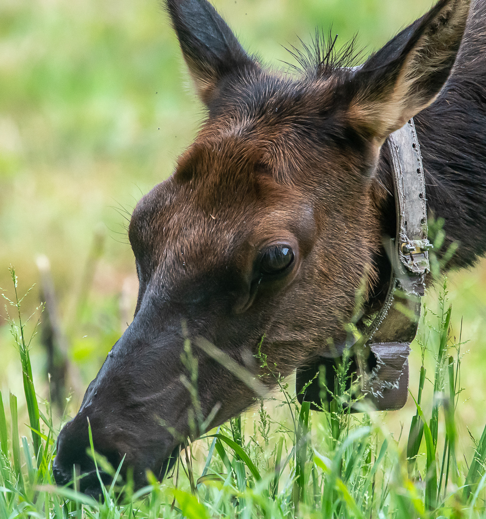
In 2001, elk were released in Cataloochee Valley as part of an experimental program to reintroduce elk to the park. The herd can be seen regularly in the fields of the valley, especially in the early morning and evening hours. This was our major objective, and we were not to be disappointed. Just as we were leaving the car at the Cataloochee Valley parking area, it began to sprinkle, and then turned into a light rain. We managed to see one building before elk began pouring out of the woods in a far corner of the field; of course, I had the wrong lens, so it was back to the car for alternate camera/lens, tripod, and raincoat. We managed to make several photographs before the elk became close, causing us to retreat back to the parking area. And then, the elk crossed the road, and moved through the woods into a large field. There, we were able to set up the tripod and camera/lens, and make photos from a distance. Buffalo gnats were swarming and left a bunch of whelps on Kay’s legs.
This herd came out of the woods one-by-one with the little ones cavorting all over the placeThis bull was careful to watch over his haremThe onlookers made too much noise, drawing attention from this bullShe was almost too close for comfort; we retreated to the other side of the car
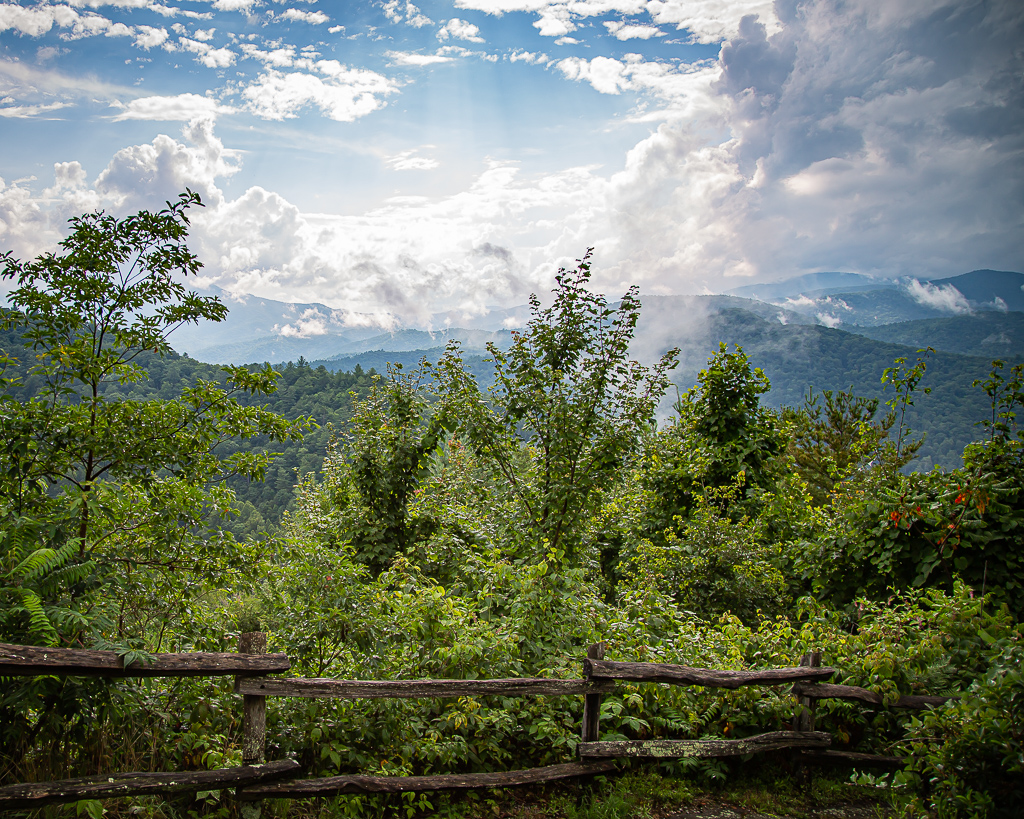
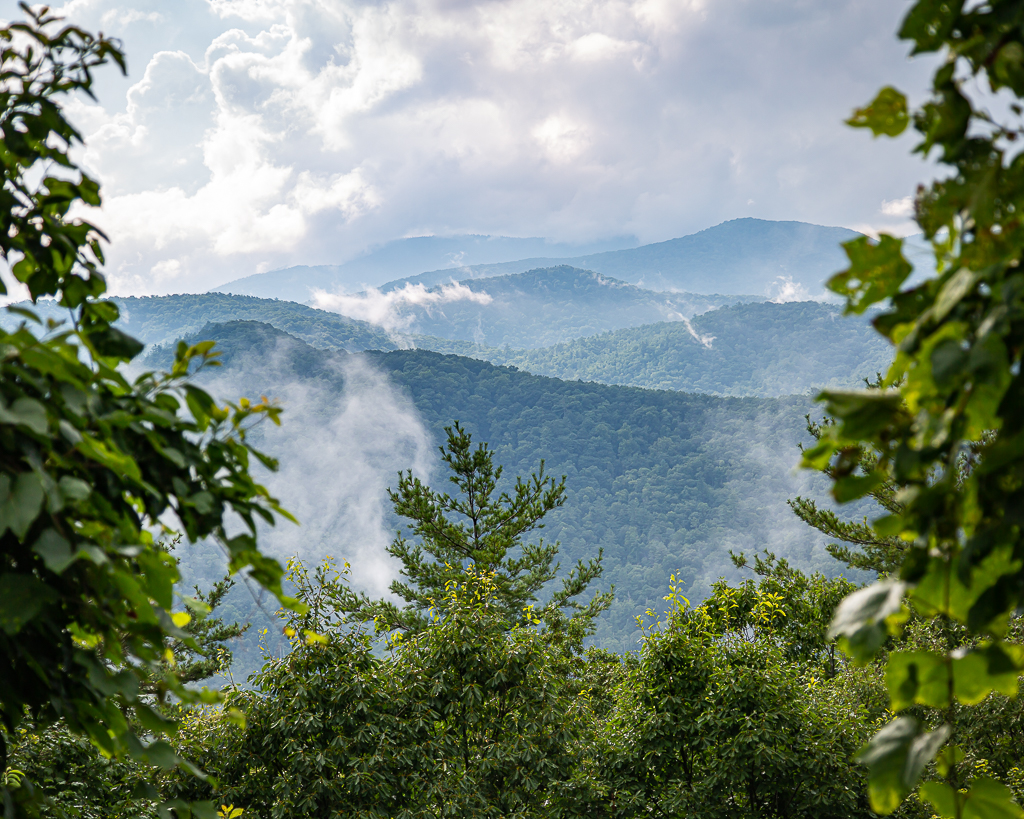
After such an excellent adventure, we returned to the motorhome via the same road that took us the Valley, stopping to make photos of the beautiful, post rain mountain landscape.
It rained all day Monday, as Maggie Valley was on the outer edge of Hurricane Isaias. Staying in the motorhome was not exactly what we had planned! Oh well, one has to take the good with the great.
After a lazy morning, we loaded snacks, sandwiches, and water in the car and drove through Great Smoky Mountains National Park (GSMNP) on US Highway 441. It was a gorgeous drive with lots of turnouts to observe the spectacular scenery. Our ultimate objective was Cades Cove on the southwestern side of the park, as far away from us as one could get and still be in the park.
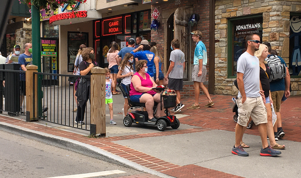
Before turning towards Cades Cove, we drove to the nearest gasoline station fill up, and that proved to be all the way through Gatlinburg. It was packed with people and cars, and very few folks wore masks; I estimated 10%, but Kay said I was being generous and estimated the number at 3%!
Gatlinburg, TNGatlinburg, TN
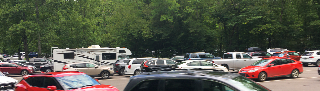
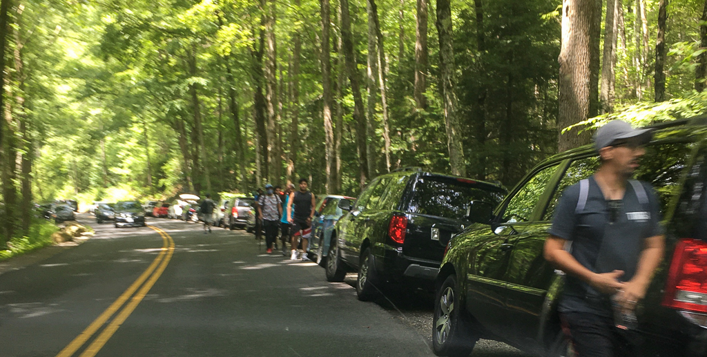
From there we made our way ever so slowly, because of traffic, to the Cades Cove Loop. Near every trailhead, parking areas and the adjacent quarter to half-mile roadside was packed with cars, and kiters taking up part of the traffic lane.
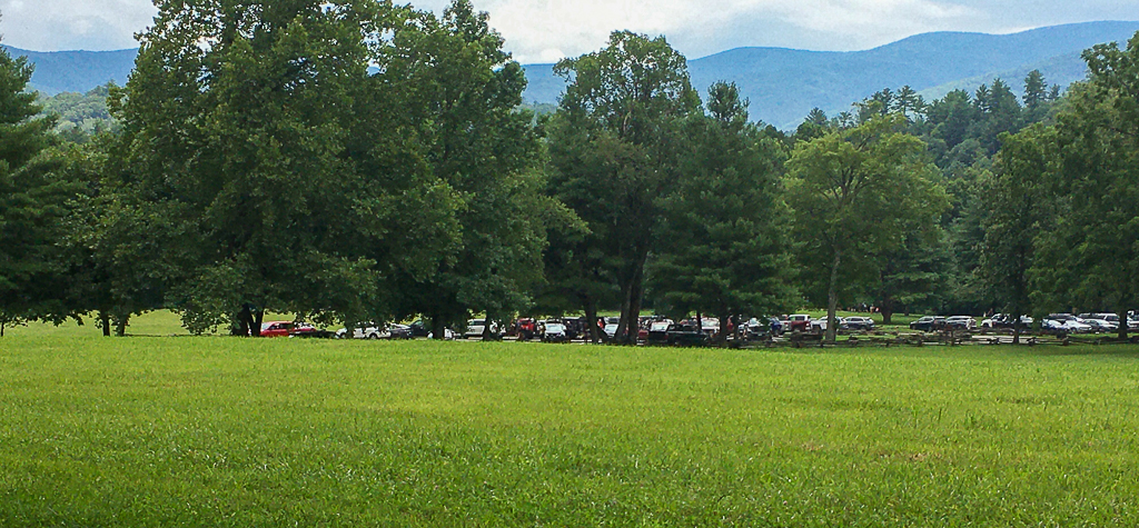
GSMNP Visitor Center Parking LotAbout 1/2 mile from a trailhead
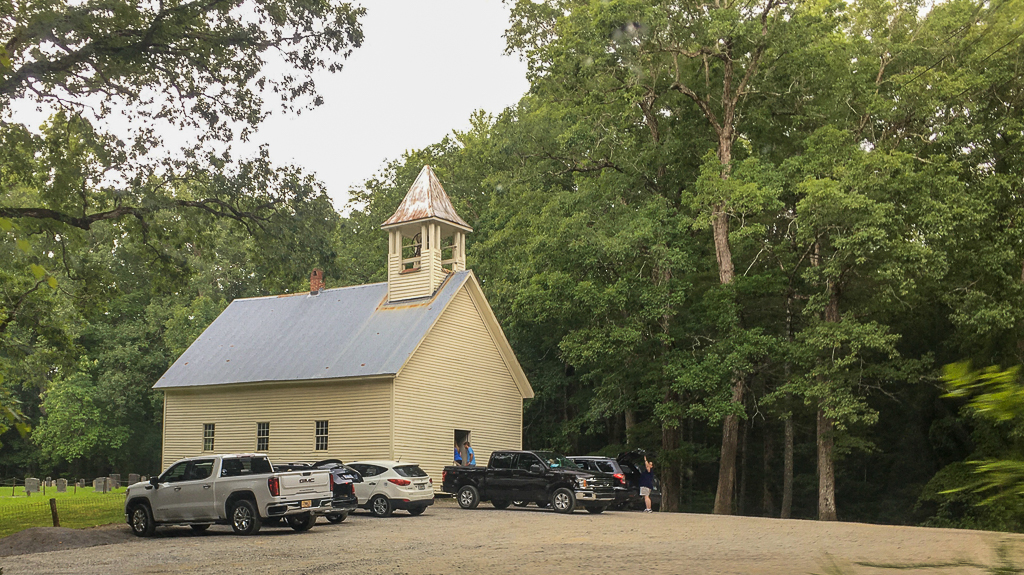
At our first stop in Cades Cove—a Primitive Baptist Church—it began raining and rained most of the time we were traversing the Loop road. There were at least two Baptist churches and a Methodist church in the community.
Primitive Baptist Church
Traffic crawled at about 5 miles per hour, with frequent stops; no bears were spotted!
Bumper-to-bumper traffic on the Cades Cove LoopTrailheads were not safe due to large number of peopleAnother parking lot, crammed fullOne of the primitive houses (not too different from those where I grew up)
On the way out, we stopped along a boulder-filled stream for a late lunch. We were both excited to be traveling US Highway 341 back to Cherokee because the views were incredible. At our turn, the road was blocked and the US Park Service ranger said the road was closed, to find another route—that was it, no explanation or anything. Consequently, it was back to Gatlinburg to a route north of GSMNP connecting to I-40, and back to Maggie Valley. We were both exhausted, though very little physical activity occurred during the day, and after briefly watching downloaded British television, we “crashed”.
After a good day on Friday, Saturday was pretty yucky, with slight fever coming and going almost all day. I have watched YouTube channels and read blogs ad infinitum. The good news is that it did not rain, though it was overcast and windy all day. God bless Kay for all she does.
Today, Sunday, we experienced an epiphany; it’s the allergies, stupid. We opted to take a drive to Asheville, mostly via the Blue Ridge Parkway. With windows and sun roof open, it was glorious, until itchy eyes, sneezing, and a slight flush took over. Immediately closing the openings, the symptoms quickly disappeared. Ah ha, it is allergies, stupid.
Despite it being a Sunday, traffic was light as was parking at trailheads, though both increased as Asheville drew nearer. We stopped at the almost empty Blue Parkway Visitor Center near Asheville and picked up some much needed maps and Park brochures, and used the temporary toilet facilities. And then, we drove the Blue Ridge Parkway Folk Art Center to view various artworks related to the mountain culture—quilts, furniture, dolls, paintings, and many other forms of art were displayed.
Inside the Blue Ridge Parkway Folk Art Center
A bit too crowded for comfort (though everyone was masked), a search for wildflowers and butterflies ensued, with little luck. Only a couple of blooms were observed, and no butterflies could be found anywhere! After a few photos, we departed the Parkway and drove into Asheville to Sam’s Club, and then to Lowe’s, before driving back to the motorhome. There, we tied down the awning and attached a shade with hardware just purchased. It proved fortuitous as rain began, but the area near the door was relatively dry. Oh, how it has been raining here in Maggie Valley, NC!
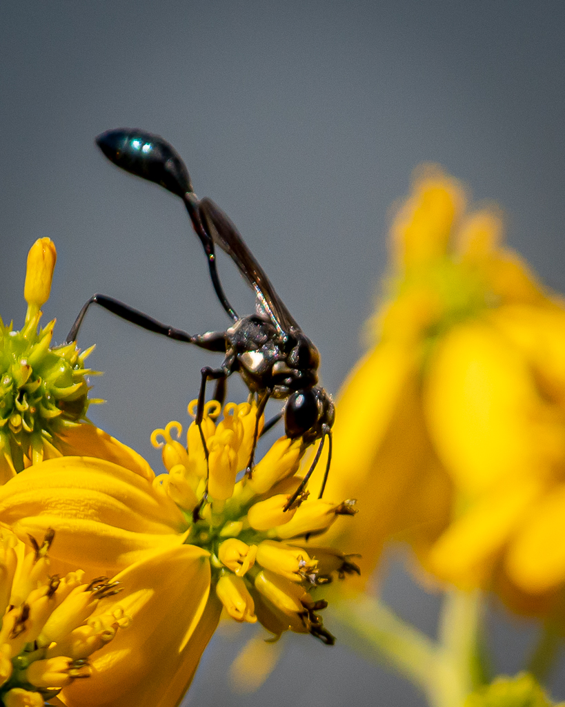
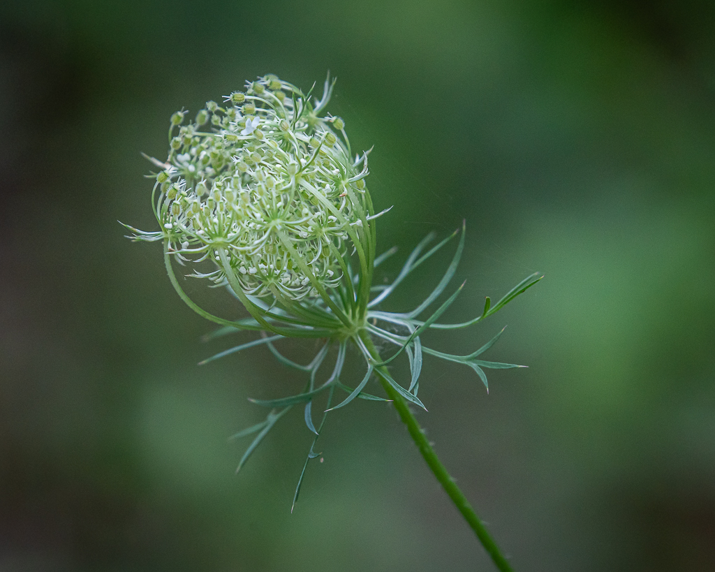
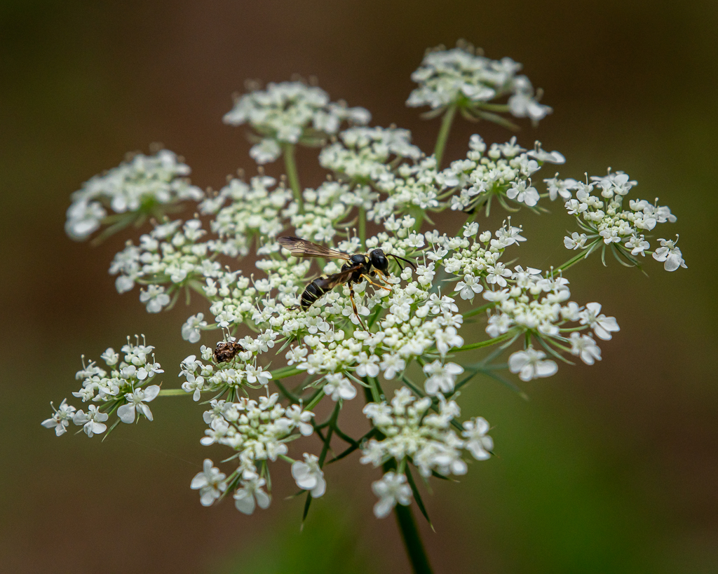
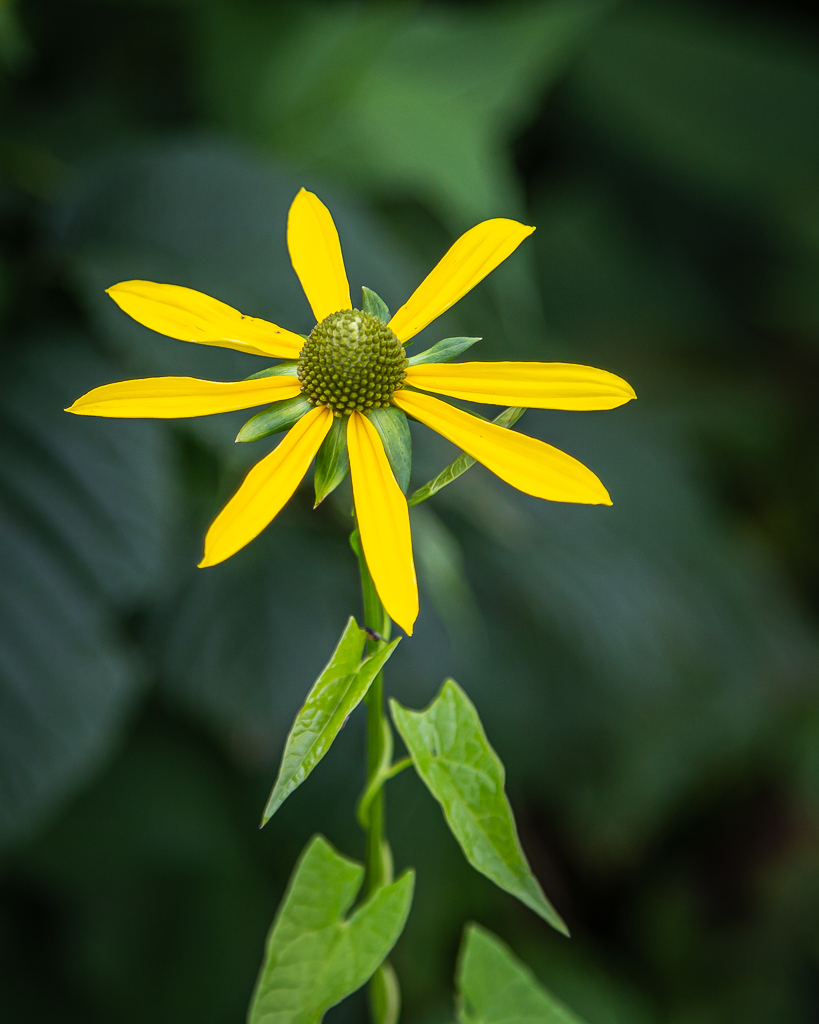
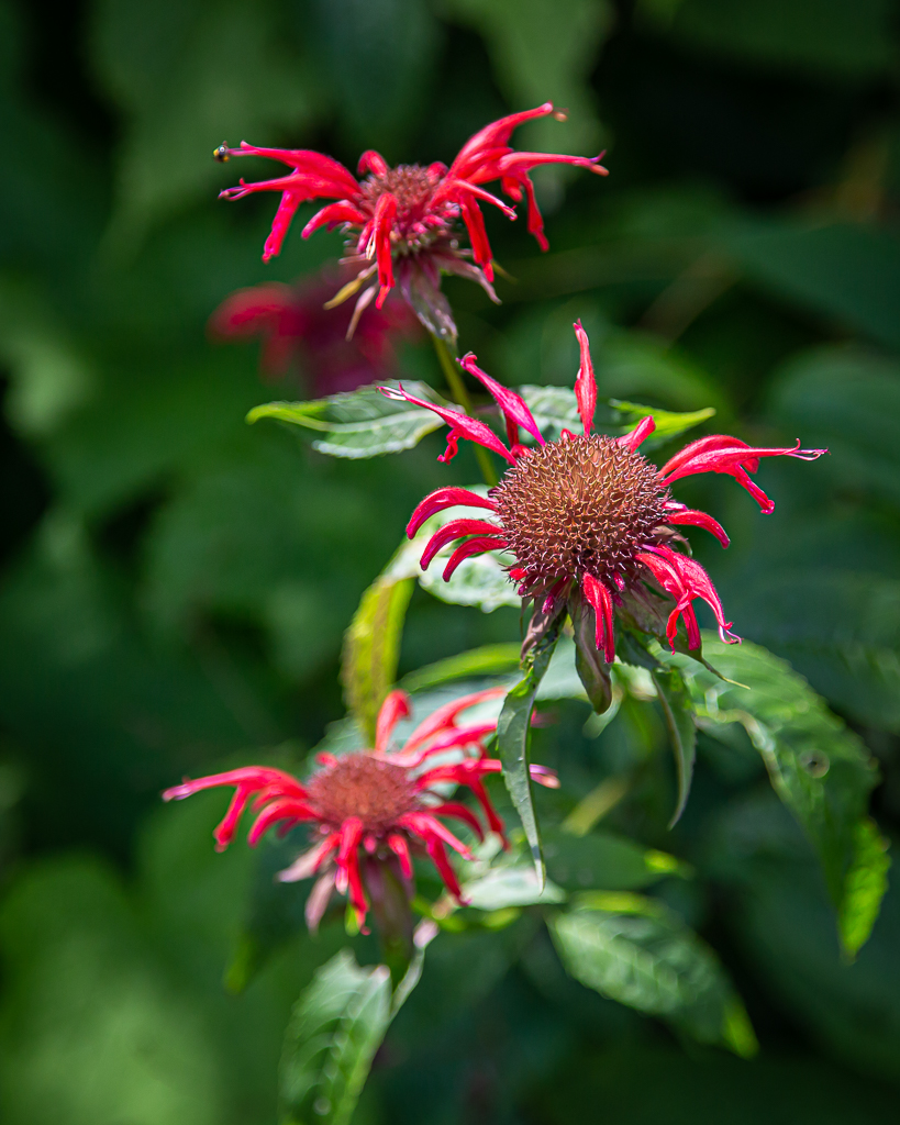
Unknown bloom outside the Blue Ridge Parkway Folk Art CenterWasp on Queen Anne’s Lace (?) outside the Blue Ridge Parkway Folk Art CenterUnknown bloom outside the Blue Ridge Parkway Folk Art Center
This summer cold or allergy attack (or, God forbid, COVID 19) has interrupted a great summer getaway. A low grade fever, itchy eyes, and occasional sneezing is keeping me in to avoid infecting others, if this is, in fact, contagious; however, I do not feel bad, just not great! Consequently, Monday through Thursday were spent largely inside the motorhome. And, it has rained everyday we’ve been here; in fact, it has rained on our parade everyday since leaving on July 22—so glad 97% of scientists are wrong, and we DON’T have global warming and/or climate change!
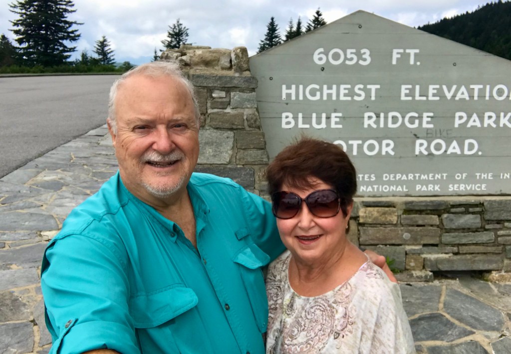
Encouraged by Kay, we drove part of the Blue Ridge Parkway beginning at its southern terminus in Cherokee, MP 469, east and slightly north to approximate MP 412 at US Hwy 276. Notable was transiting the highest point on the Parkway at elevation 6053 feet, and all the wildflowers adjacent to the roadway and pullover viewing areas.
Highest elevation of the Parkway, approximate MP 433
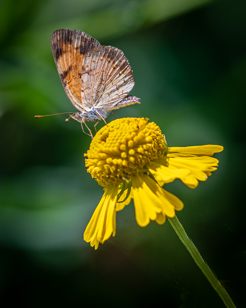
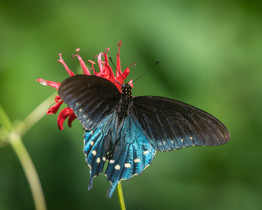
We stopped at one small viewing area to photograph wildflowers along the opposite side of the road only for Kay to find lots of wildflowers and butterflies at the viewing area. We spent about 30 minutes making photos. Among the butterflies were Silver-spotted Skipper, Pipevine Swallowtail, Variegated Fritillary, and Eastern-tailed Blue.
Pipevine Swallowtail
Pipevine Swallowtail
EVariegated Fritillary
Eastern-tailed Blue
Silver-spotted Skipper
We turned off the Parkway to hike to a waterfall, but the parking area was packed. In fact all the trailhead parking areas along the Parkway were overflowing with hikers, so we chose to social distance!
After arriving back at the motorhome, it began raining, and rained hard for several hours, accompanied by high winds, after which it slackened as we went to bed about 11 PM. The silver lining in the cloud was the sound of raindrops hitting the rooftop made sleep come easily. Did I say it has rained everyday since we left?
This journal was begun several years ago, and reflects an accurate record of each day fished. Please enjoy it, and remember that fish are too valuable to be caught just once, and the places they live are too valuable to be mistreated.