Monday thru Saturday, September 16-30—It’s Still Summer, but… (Part 2)

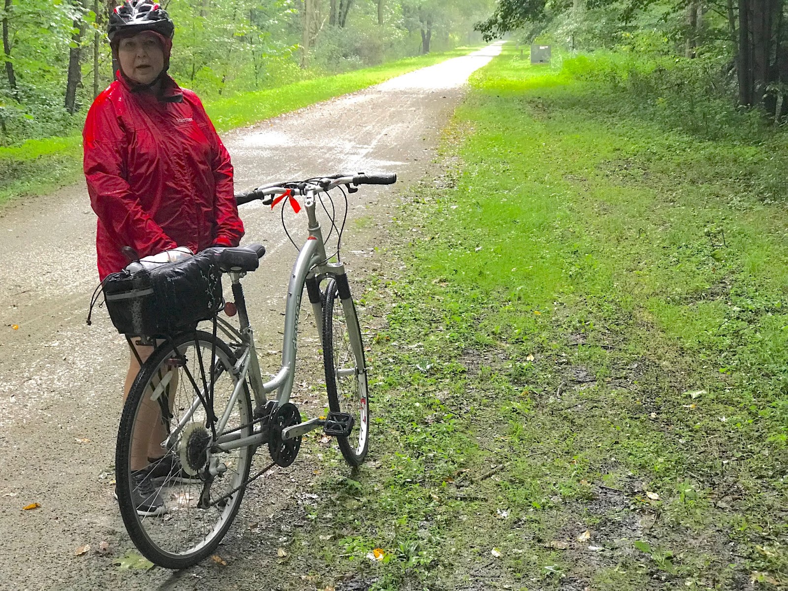
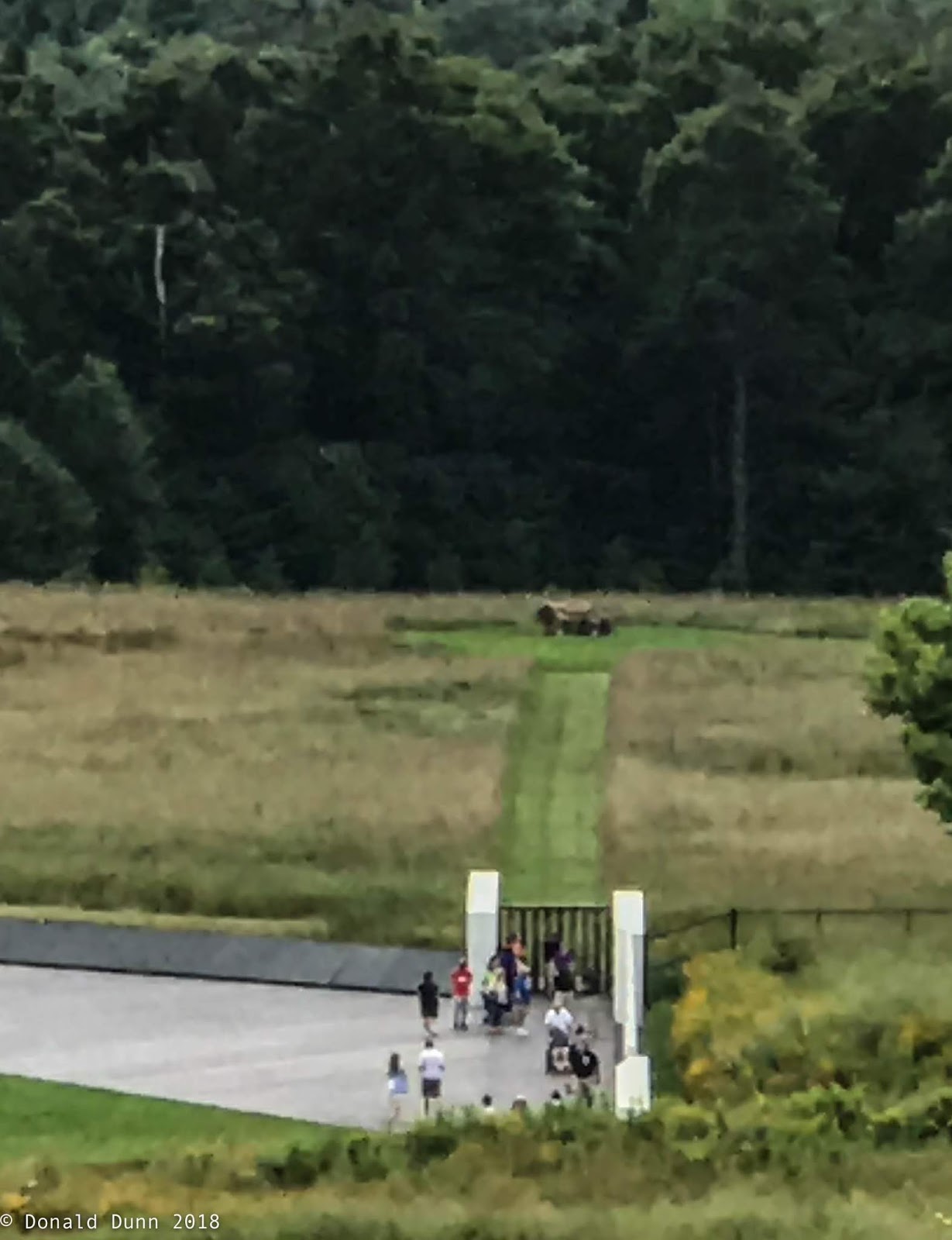
On September 21, Kay and I got annual flu shots at the church, hoping to stave off the deadly flue for another year. The new improved shingles shot awaits, and the pneumonia shot from 4 years ago is still update.

We took another big step to modernize, increase efficiency, and reduce monthly costs this month. On September 22 we officially ‘cut the cord’. The monthly internet access and cable television bill—ATT Uverse—kept increasing. After a lot of research, we opted to switch to Suddenlink internet coverage, and subscribe to YouTube TV and the local PBS affiliate. Internet speed increased from 16 megabytes/second to 100 megabytes/second with unlimited data and no throttling, and we stream the shows we like and prefer, including local network affiliates; net monthly savings is approximately $115. Also, Kay switched us to 55 Unlimited with Verizon. This plan allows us two cell lines with unlimited calls, text, and data as well as coverage in Canada and Mexico; this resulted in about $15 in monthly savings.

After 4 years, Kay switched to a new dentist and hygienist; we had kept our northern Arkansas dentist (Dr. Lane) and hygienist since leaving in October 2014. This was a hard decision, but the time had come to find dental care closer to home.

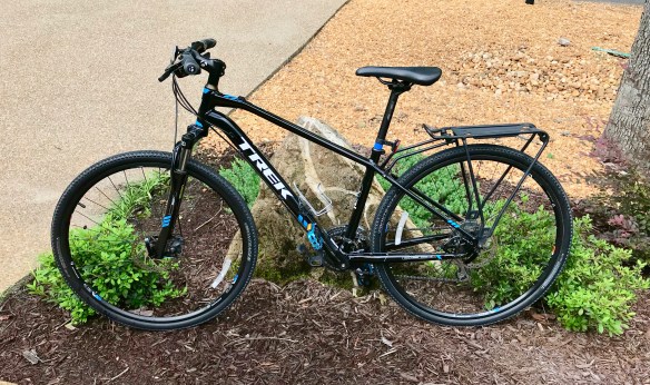
With mixed emotions, we traded the 2004 Expedition on September 25 for a 2018 Honda CRV. It was time, and we are now a 100% Honda family (except for the motorhome).

IMG_1724

Bye-bye great car (2004 Ford Expedition Eddie Bauer Edition)

Saturday thru Sunday, September 1-15—It’s Still Summer, but … (Part 1)

Kay and I celebrated 18 years of marriage on Sunday, September 2; it’s been a great 18 years, too. Tim and Rosie, friends from the Rio Grande Valley visited after church, and we reminisced about old time and talked about future plans.

We played golf together in the Hot Springs Village Duffers annual member/guest scramble—I played poorly—and celebrated the winners at a cookout a couple days later.

Those clubs and organizations which took a hiatus over the summer have begun meeting again; for me, it’s the Camera Club and the VMUG (Village Mac Users Group—all things Apple).

In early September, we began to see a significant increase in the number of Ruby-throated Hummingbirds at the feeders, a sure sign that migration is in full force. And then on the 11th, a leucistic female Ruby-throated Hummingbird showed up. Though not as rare as true albino hummingbirds, leucistic hummingbirds are still rare but are seen more often than true albinos. Like “normal” hummingbirds, leucistic forms have black eyes, feet, and bills, but their feathers may be pure white, buffy, tan, or gray instead of green or some other “normal” color. We enjoyed her for 7 days, almost to the hour, before she migrated south.

180912_E_004

Leucistic female Ruby-throated Hummingbird in the rain

180915_Er_015

Female Leucistic Ruby-throated Hummingbird

With a bit of cool weather, I joined other HSV oldies for cycling the Arkansas River Trail in North Little Rock and Little Rock while Kay shopped. This is one of my favorite bicycle trails. The ride begins at the Clinton Presidential Library, crosses the Arkansas River, follows the Arkansas River upstream to the Big Dam Bridge crossing the Arkansas River again, then along the river to Two Bridges Park, and finally to the US Army Corps of Engineers campground at Maumelle Park—out and back is some 30 miles.

IMG_1713

Rest Station at Maumelle COE Park

IMG_1709

Cook’s Landing near the Big Dam Bridge

Saturday thru Friday, August 25-31—We’re Home Again

After an early breakfast and lots of good-byes, we departed the Laurelville Mennonite Christian Center for home. Driving through western Pennsylvania, West Virginia, Kentucky, and Tennessee, we arrived at our house in Hot Springs Village about 8 pm Saturday evening. Despite the long drive, we were glad to be home.

After quickly unpacking, laundry was done and the bicycles were washed, re-tuned, and lubricated. After being ridden on both the KATY Trail and the Great Allegheny Passage, the TREK DS 8.3 was listed for sale.

IMG_1704

TREK DS 8.3, for sale

Except for a low key 69th birthday celebration, we quickly returned to a normal routine rather quickly. We sure enjoy living in Hot Springs Village.

Friday, August 24—Cycling the GAP, Pittsburgh to Buena Vista

Today’s concluding ride of 29+ miles began in Pittsburgh, PA. Before the ride began, we took the Duquesne Incline to the top of a mountain overlooking Pittsburgh for a great view of the city and the three rivers for which it is famous: the Monongahela, Allegheny, and Ohio.

Duquesne Incline
Dusquesne Incline
Dusquesne Incline overlooking the three rivers and football and baseball stadiums

Navigating through the streets of downtown Pittsburgh was challenging but our leaders, LaVern and Janie Yutzy, did a great job guiding us through the busy city streets and bridge crossings to reach the GAP trail terminus at approximate mile 150 at Point State Park where the “three rivers” meet—the Monongahela and the Allegheny joining to form the Ohio.

Point State Park; Monongahela River on lower right, Allegheny River on upper center, and Ohio River where they meet

Point State Park, end of the trail

The GAP trail was paved through the metropolitan and outlying areas, with many bridge crossings, changing to crushed limestone about midway of the ride. The trail was gently uphill, and the wind was lightly blowing into our faces, making for a challenging pedal, at least for me. Along the way we continued to pass skeletons of buildings now left to decay and trailside coal mining and coke towns, many of the houses of which had been updated.

An old railroad roundhouse, vacated and left to deteriorate


Typical coal mining and coke town

Our lunch stop was at Homestead at the historic pump house (site of the bloody Battle of Homestead where a strike by steel workers was broken by 300 Pinkerton men and some 8,000 state militia in 1892, signaling the end of union activity in the steel industry until the 1930s).

Homestead

The afternoon segment of almost 20 miles was without any formal breaks, thus the pace was relatively fast. The trail was open to sunlight in many places, and in forested parts of the trail, the vegetation was less dense than the lower trails sections ridden earlier in the week with a few waterfalls.

We arrived at our take-out point at Buena Vista to much fanfare, having completed the 150 mile Great Allegheny Passage.

Finishing riding the 150-mile GAP, another life list item completed!


https://www.strava.com/activities/1794903340/embed/3642424b11265b82e1c068f05ba98bc8092ccd2d

Thursday, August 23—Cycling the GAP, Connellsville to Buena Vista

Today’s ride of about 32 miles began in Connellsville with blue skies and temperatures in the mid-50s. Dense, mostly forested land adjacent to the trail gave way to a more open area with still standing remnants of the coal and coke industries which drove the economy of the region.

Remnants of the now defunct coal and coke industry

Remnants of the now defunct coal and coke industry

This first segment of the day’s ride took us past scenic waterfalls and the 100-mile marker, also marking 100 miles cycled thus far this week.

Many serene waterfalls and creeks flowed adjacent to the trail 
Passing the 100-mile marker
Our early lunch, some 16 miles up the trail, was at Whitsett, an old coal mining town.
Lunch at Whitsett
With only one brief stop, we cycled another 10 miles to West Newton, where along the trail we saw several pieces of trail side art.

Gold bicycle alongside the trail

Passing mile marker 109

West Newton at mile marker 113
Another 3 miles took us to an ice cream place for soft serve yogurt, followed by another 3 miles to our terminus at Buena Vista. The small towns through which we pedaled were all coal mining towns reflecting poverty and lifestyles resulting from the disappearance of the coal industry. Interestingly, cycling and river-based recreation now account for a major portion of the local economy.

An “orange” waterfall resulting from iron seeping into the groundwater

After a return to LMCC, showers and naps preceded dinner and an evening program on the biodiversity of the region.

Wednesday, August 22—Confluence to Connellsville

After breakfast, a shuttle back to Confluence, and with overcast skies, the day’s ride began at the Confluence trailhead—but no rain! We rode some 10.5 miles along the canopied trail at a frenetic pace of almost 12 mph, and with no stops—too fast to take many photos.
Canopied trail section north of Confluence
At mile 65, we reached the Ohiopyle trailhead where we stopped to tour Ohiopyle State Park, its visitor center, and a view of the Ohiopyle falls, and to have lunch.
Ohiopyle trailhead
Ohiopyle storefront
Ohiopyle Falls
Our afternoon ride continued across the Youghiogheny River along the tree-tunneled trail another 17 miles to Connelsville. The trail was very similar to the Katy Trail in southern Missouri with rock bluffs on one side and river (Youghiogheny) on the other, bringing back fond memories of our ride in October 2016. No breaks were scheduled for the 17-mile ride because of lack of access to the trail for the SAG (support and gear) wagon, making for a long ride.
Kay on trail bridge crossing the Youghiogheny River at Ohiopyle
Youghiogheny River
Wildflowers along the trail
One of many waterfalls encountered along the trail
Regretfully, one of the sweepers (cyclist whose job is to ensure that all riders are moving along the trail) was injured on this segment—broken wrist—when a cyclist in front of her fell, causing her to crash into him and go over the handlebars. Consequently, our departure for a winery visit and return to the home base was delayed. Most of us opted to sit in the shade rather than tour the winery. Dinner was at a restaurant in town, Out of the Fire Cafe, and was good.

https://www.strava.com/activities/1790561684/embed/10f24fcf4a4d9087bffc9f08d03bed0903ae16ef

Tuesday, August 21—Meyersdale to Confluence

Kay and I cycled today from Meyersdale to Confluence, PA, a distance of 31.2 miles. Ominous skies greeted us at breakfast in Cumberland, MD, and the weather continued to deteriorate in the shuttle to Meyersdale, despite our leaving the hotel early—ahead of schedule—to beat the rain.

Loading at the Fairfield Inn in Cumberland—to beat the rain

Loading at the Fairfield Inn in Cumberland—to beat the rain. Cycle on very right belongs to yours truly

No rain yet as Kay pedals up the trail

Upon arriving at the Meyersdale trailhead and unloading bicycles and gear, we peddled northward, crossing the Salisbury Viaduct at approximate mile 35. The Salisbury Viaduct is just over 1,900 feet long and crosses the Casselman River.

Salisbury Viaduct
What started as a light mist turn into sprinkles, and then into full-blown rain for most of our trip from Meyersdale to Rockwood at approximate mile 44 for the first break of the day’s ride. The fast pace kept us from viewing Wymp’s Gap Fossil Quarry between Garrett and Rockwood.

Kay asked whose idea of fun this was as the rain poured

Rockwood, in the rain
While rain jackets kept our upper torso dry, everything else got wet and muddy, including shorts, gloves helmet, bicycles, and gear; we all looked like skunks with a streak of mud on the back of rain jackets from the back wheel’s rooster tail. This continued through our brief lunch break at Markleton. The last 10 miles were ridden in sunshine until we reached Confluence at approximate mile 61, when the rain began again. Note: Confluence is also known as Turkeyfoot because the three streams coming becoming one —the Youghiogheny and Casselman Rivers, and Laurel Hill Creek—look like a turkey track when viewed from the surrounding hills. George Washington camped here.
Finally, sunshine
The bicycles got washed at a local bike shop before being loaded onto the van, and we traveled back to Mount Pleasant, Pennsylvania, our homebase. Back in the room, it took an hour or more to clean gear and bodies; fine sand was everywhere from our mud covered clothes and gear.
After dinner a great speaker provided a history of the GAP, and told many stories about its origin, development, and the colorful characters involved.

https://www.strava.com/activities/1816323050/embed/201855beed485bb8581fa033d17300d2593b6b20

Monday, August 20—Cycling the GAP, Meyersdale to Deal to Cumberland

After quickly packing for an overnight trip and eating breakfast, the group was shuttled from Mt. Pleasant to Meyersdale for the start of our 150-mile bicycle trip.

Enroute to Meyersdale

Our first segment of the GAP was from Meyersdale, Pennsylvania, to Cumberland, Maryland, a distance of 32 miles.

Readying bicycles at Meyersdale for the ride

Trailhead at Meyersdale is a restored railroad station

Kay and I are ready to ride

Because we were pedaling from north to south today, we began at Meyersdale at approximate Mile 32 of the GAP.

At mile 29, just three miles down the trail, we rode across the 900-foot Keystone Viaduct which provided a great view of the railroads passing underneath.

Keystone Viaduct

Lunch was at Deal, at approximate mile 25, and included self-made pita wraps, salad, chips, cookies, and GORP. It began drizzling, and then turned into a light rain that was to last the rest or the day’s ride.

Lunch at Deal

Another three miles down the trail, all at an uphill grade of about 2 percent, we crossed the eastern continental divide at mile 22, separating waters going into the Mississippi River basin from those going into the Potomac River and Chesapeake Bay. This is the highest point on the GAP at 2375 feet above sea level, and from here the trail is downhill both directions.

At approximate mile 21, just a mile downhill from the Eastern Continental Divide, the Big Savage Mountain blocked the trail, but an almost 3,300-foot tunnel (appropriately named the Big Savage Tunnel built in 1910-1912 and rebuilt for trail use in 2002) passed through the mountain. Here, bicycle headlights were essential for seeing one’s way along the tunnel floor.

Big Savage Tunnel

The trail crossed from Pennsylvania into Maryland at approximate mile 20. This boundary, commonly known as the Mason Dixon Line, was established by English surveyors in the 1760s to resolve a land dispute between the Penns of Pennsylvania and the Calverts of Maryland. It is commonly considered to separate the north from the south.

Mason Dixon Line Monument

Light colored brick is the Mason Dixon Line

Mason Dixon Line Monuments
We had another break some 9 miles further down the trail, before riding 16 miles to Cumberland, MD, where we overnighted near Mile “0” of the GAP at the Fairfield Inn and Suites, a very bicycle friendly hotel. We washed our bicycles at the hotel at a special wash rack before checking in, and then soothed sore muscles in the hot tub and pool before dinner at the Baltimore Street Grill.

Another of several tunnels through which we pedaled

Frostburg

Despite rain, the scenic Allegheny Mountains provided a great backdrop for a good, mostly downhill ride. Regretfully, Kay and I did not ride together, and there are few photos of her.

https://www.strava.com/activities/1816322735/embed/27869098b1093b2be262f83f8e795819774e0173

https://www.strava.com/activities/1816322676/embed/2c3df24e97e41dc98aa28f37966611612b10f313

Sunday Evening, August 19–Road Scholar’s Ride the GAP and LMCC

After visiting the Flight 93 National Memorial yesterday, we drove to Mt. Pleasant, PA, to the Laurelville Mennonite Church Center (LMCC), our residence for the next 6 days and nights.  We are here to participate in the Road Scholar Bicycling on the Great Allegheny Passage in the Laurel Highlands.

As participants trickled in, registration materials were distributed, dinner was served, and a meeting of introductions and discussion of the week’s activities followed. Meanwhile, bicycles were loaded in a cargo trailer and on top of the shuttle van. We spent the rest of the evening getting acquainted with the other participants.

LMCC Lodging for the week

Bicycle are loaded on top of the shuttle van


This particular Road Scholar program features a 5-day bicycle ride of the Great Allegheny Passage (GAP). The GAP stretches 150 miles across beautiful scenery in Maryland and Pennsylvania. The GAP is a 150 mile Rails-to-Trails rail trail extending from Cumberland, Maryland, to Point State Park in downtown Pittsburgh. It uses abandoned Baltimore and Ohio Railroad, Pittsburgh and Lake Erie Railroad, Union Railroad, and the Western Maryland Railway.

LMCC was founded in 1943 by a small group of Mennonites, wanting to create a wholesome place for Mennonite youth to spend their leisure time—a new phenomenon created as Mennonites began moving off of farms – in a way that would “mean the most to them physically, spiritually, and otherwise.” From its inception, Laurelville hosted non-Mennonite groups on-site as well. In the early years, there were only a few families or non-Mennonite Christian groups using Laurelville facilities, but this ministry boomed in the 80s and 90s and currently makes up approximately 80% of Laurelville’s business. We found that as best as could be determined, modern Mennonites are very much like other protestant churches, as opposed to the Old Order Mennonites.

Sunday, August 19—Flight 93 National Memorial

Curved walls near the Visitor Center

Today, we toured the Flight 93 National Memorial. The memorial is located southeast of Pittsburgh some 45 miles, on a flat plain high atop the mountains. In the Visitor Center itself, a somber feeling of sadness, and intense anger permeated our very beings; I was so emotionally overwhelmed by artifacts and personal stories from the crash that I had to leave the building. God help us if something like this happens now.

The National Memorial is in two parts: the upper area where the Visitor Center and towering, curved walls are located and the lower area where a wall memorializes the crew and passengers, listing their names. The entire memorial is well done, with many symbolisms, etc. For example, the walls adjacent to the Visitor Center follow the flight path of Flight 93 just before it crashed. The slight curve is almost imperceptible, until viewed from a distance, particularly looking at the crash site. The crash site itself is marked by a huge boulder, underneath where the remains of the plane are buried.

View of the crash site (upper left center) from the Visitor Center

The memorial wall and crash site (upper center)

Lower curved wall memorializing the crew and passengers of Flight 93

Actual crash site marked by huge boulder