Monday, October 29—Virginia Capital Trail

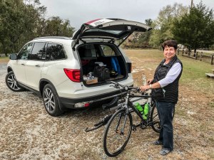
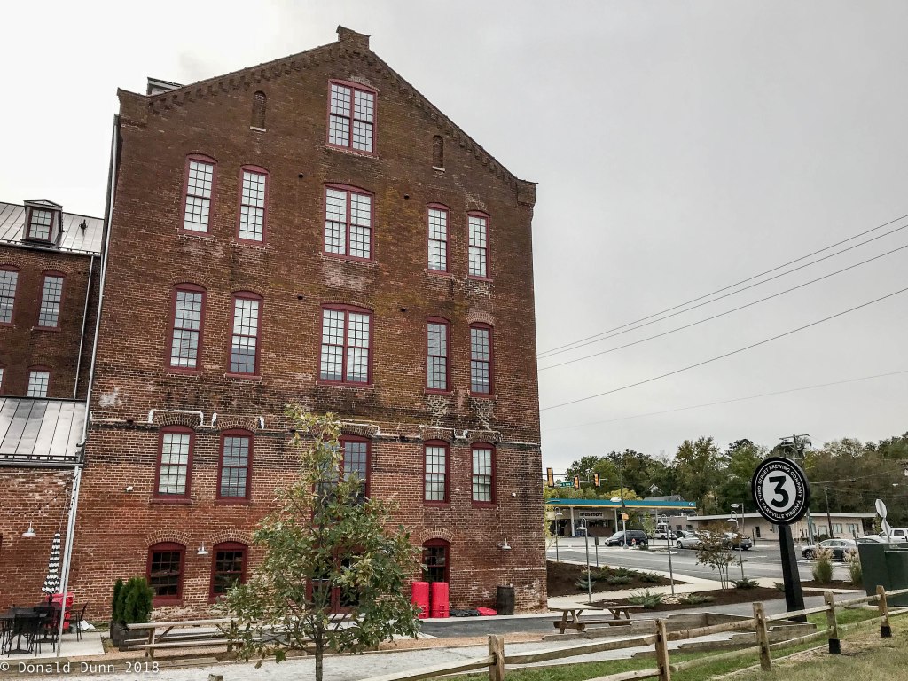
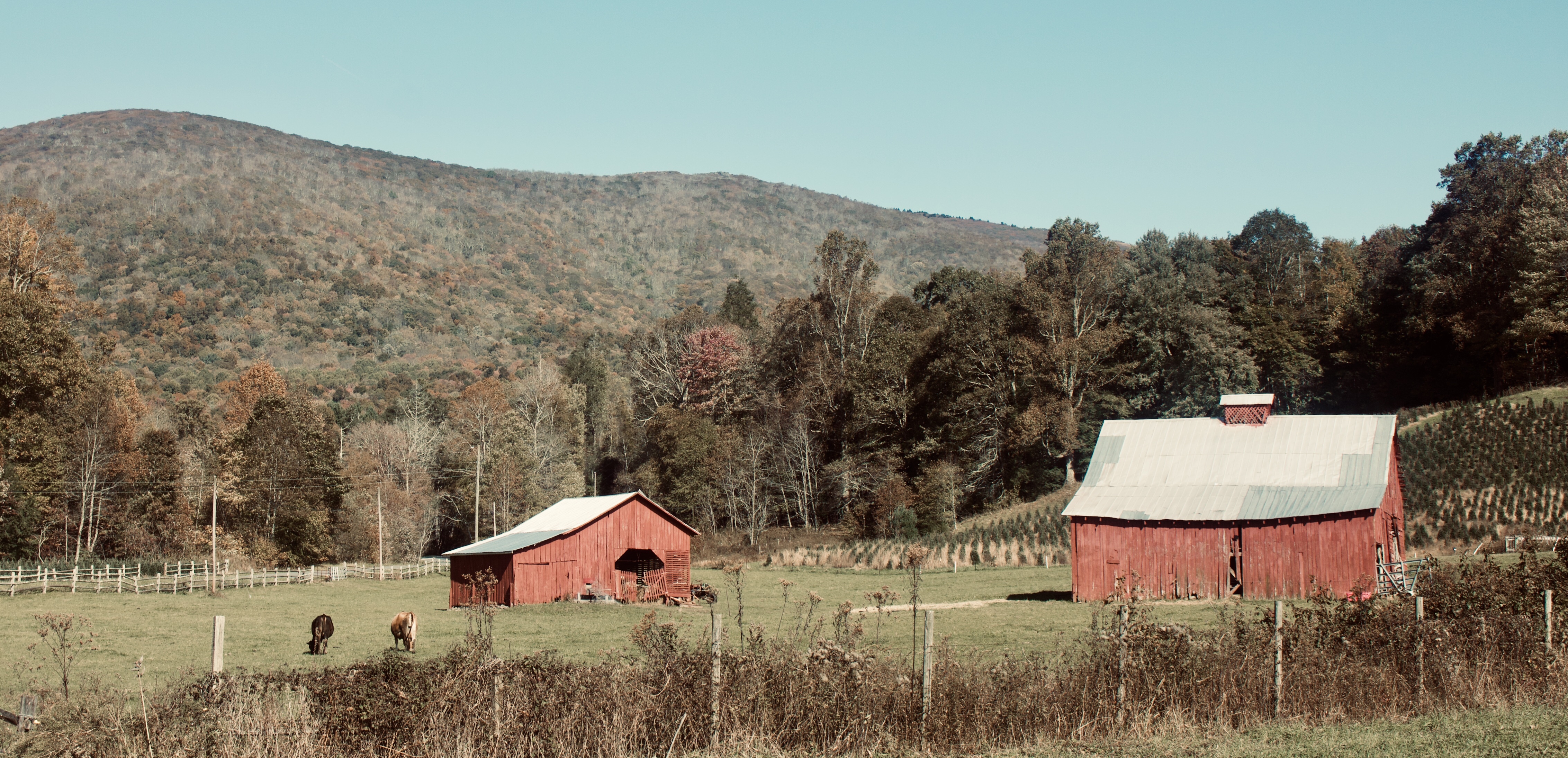
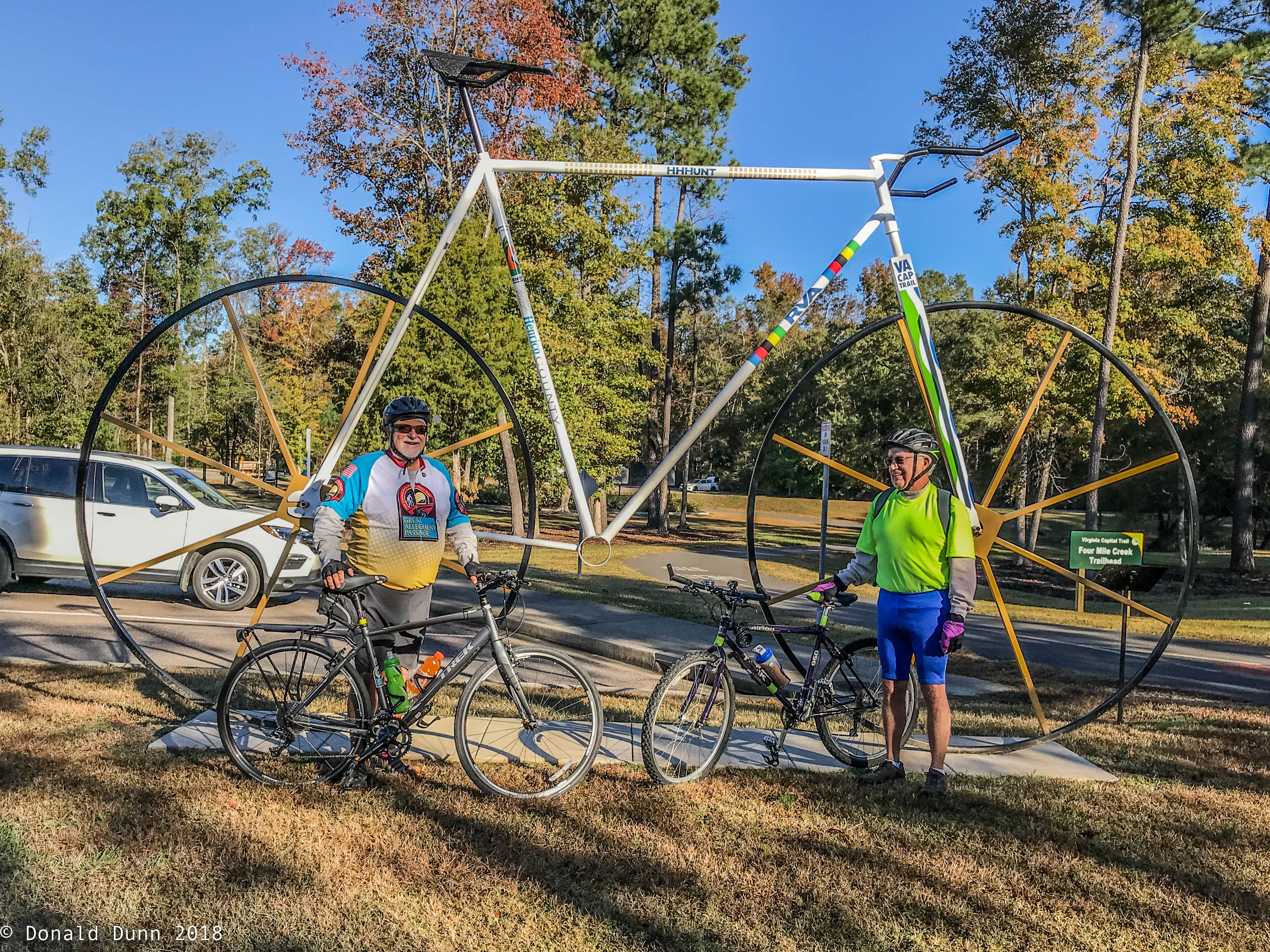
After a weekend birthday celebration (Nan’s 70th birthday), George and I shuttled to just south of Richmond to Four Mile Creek Park to ride the paved Virginia Capital Trail. Four Mile Creek Park trailhead, near the Varina community (Varina Farms was a plantation established by early English settler John Rolfe, who married the famed Pocahontas), was chosen to avoid the many traffic signals and busy intersections in Richmond, and effectively eliminated 12 miles of the 52-mile trail. The Virginia Capital Trail snakes along the James River and State Route 5, a Virginia Scenic Byway, for 52 paved miles from the state’s capital of Richmond to the historic capitals of Jamestown and Williamsburg. The trail is not built on a former railroad, but the half-mile segment in downtown Richmond is rail-with-trail, hence its rail-trail designation. The trail is “divided” into several segments.

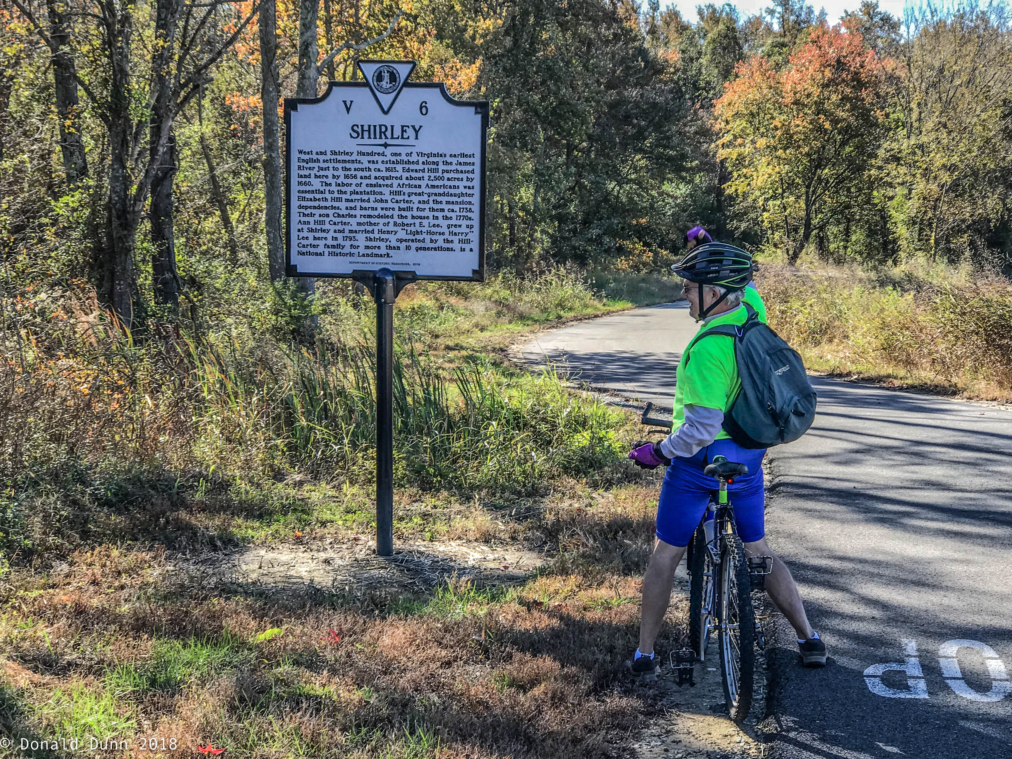
The first we rode was the New Market Heights Segment. This segment runs near the Shirley Plantation, where the mother of Confederate General Robert E. Lee was born. Dating back to 1613, it’s the oldest plantation in Virginia and a National Historic Landmark. 

Trailside Signage for Shirley Plantation
Trailside Decor

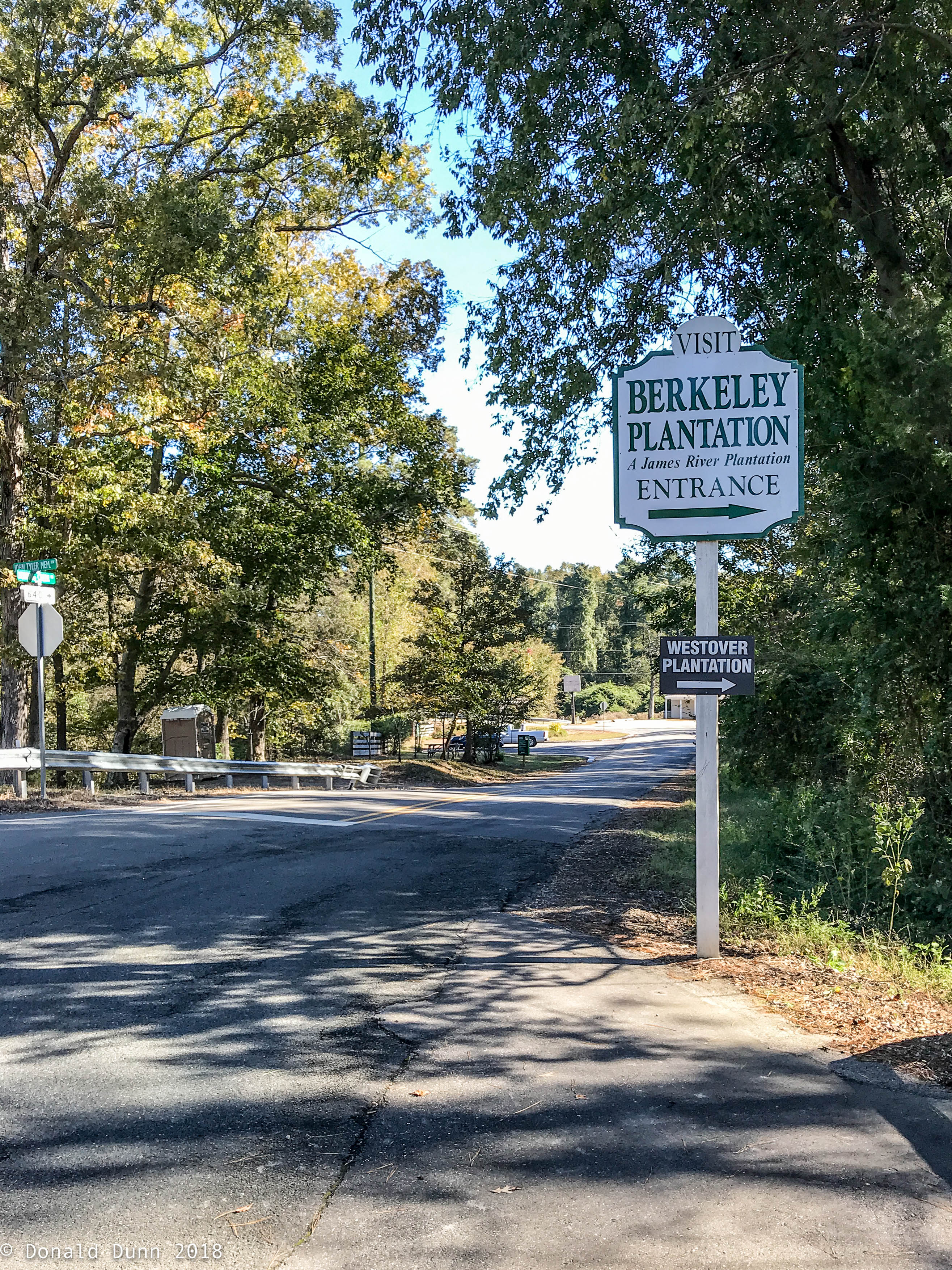
We continued east to the Charles City County segment which passes many colonial plantation homes, including the Berkeley Plantation. It’s the ancestral home of U.S. Presidents William Henry Harrison and Benjamin Harrison. 

Berkeley Plantation Entrance

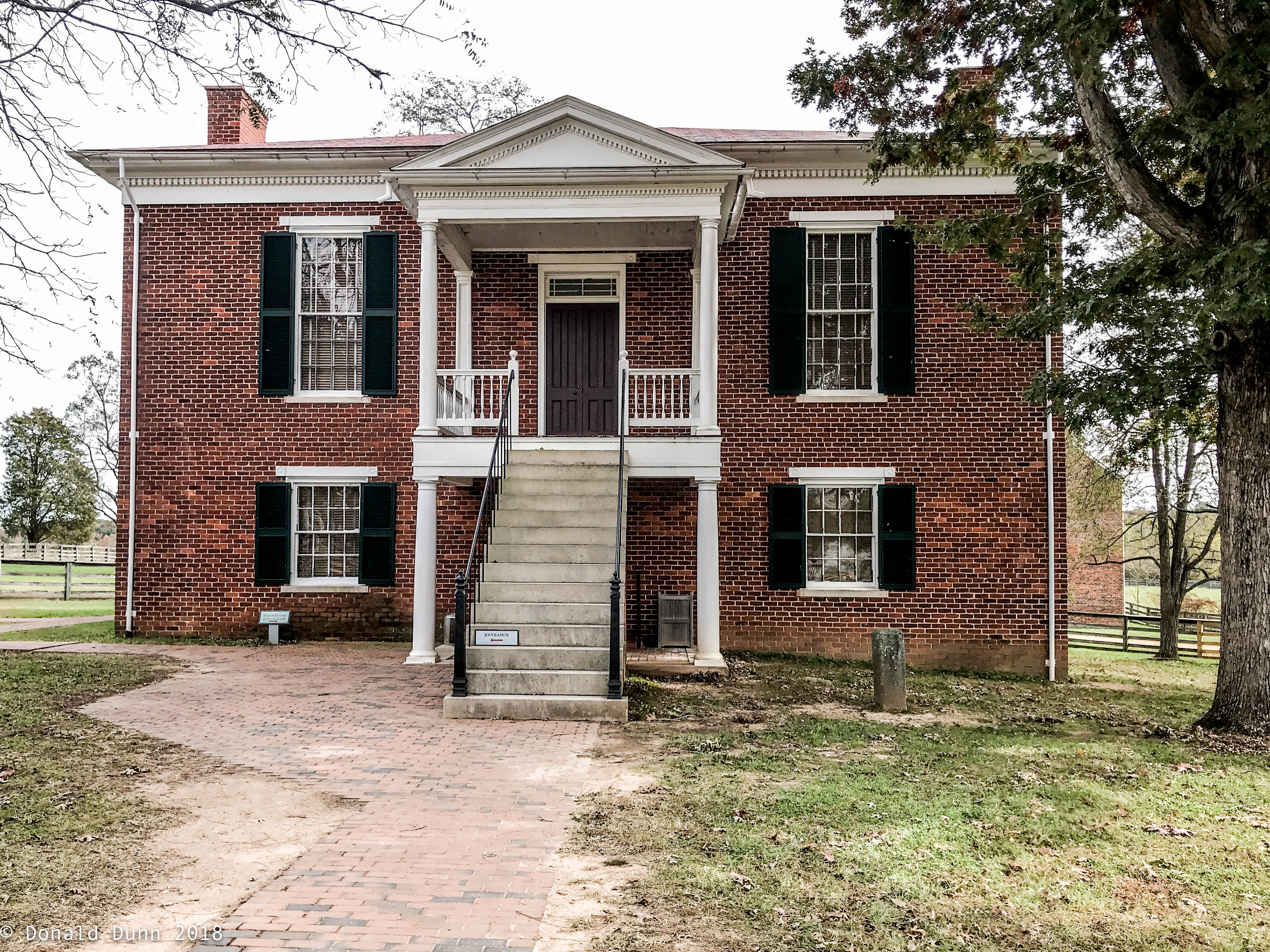
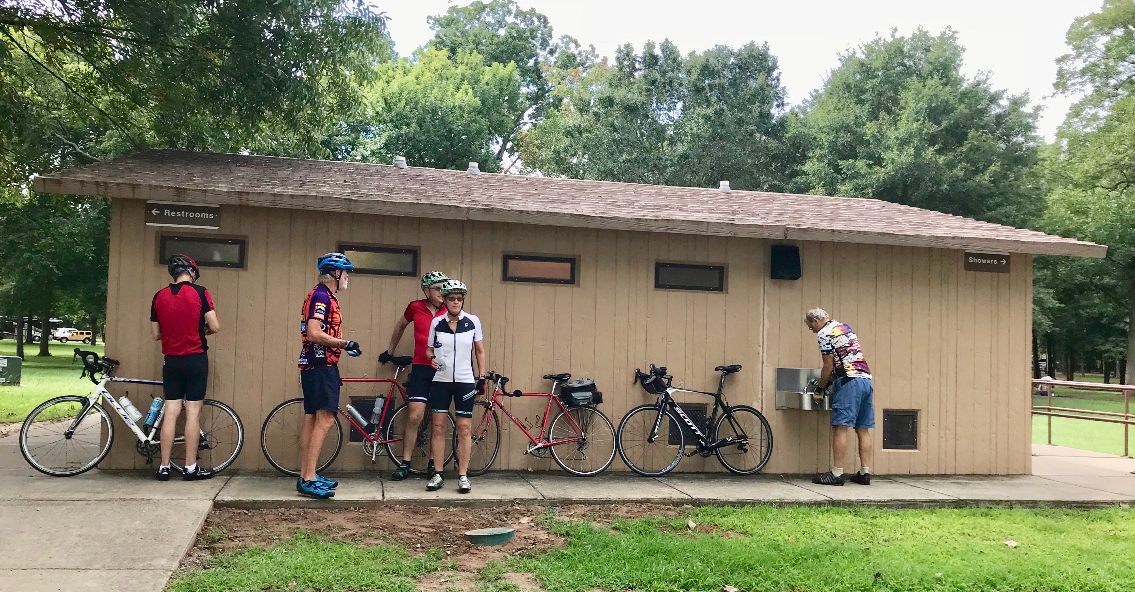
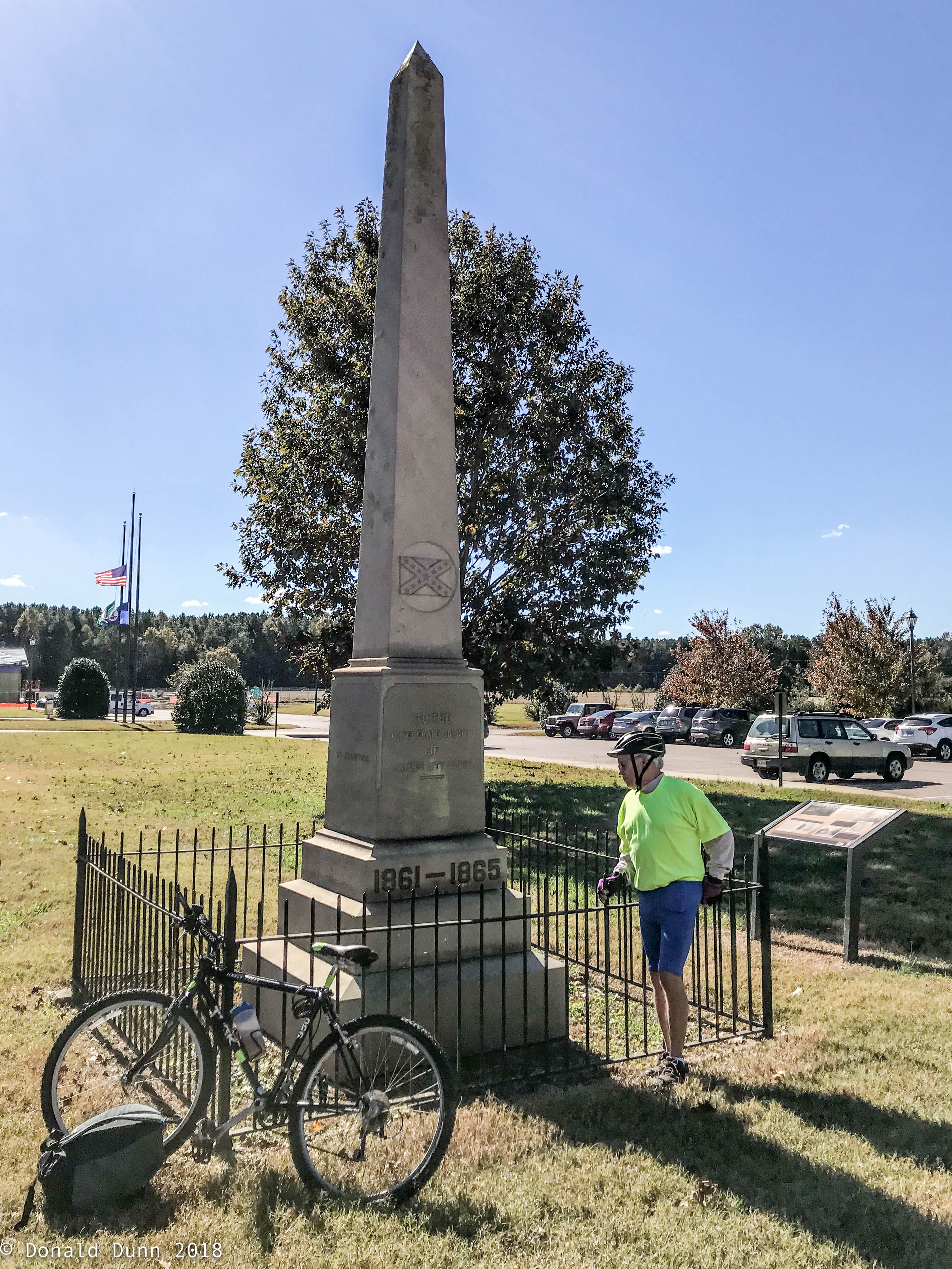
Continuing south, we arrived at the Charles City County Courthouse (a bathroom and rest stop), a one-story brick building dating back to 1730 and listed on the National Register of Historic Places. This began the trail’s Sherwood Forest segment along SR 5, passing the Sherwood Forest Plantation for which it is named. President John Tyler lived in the estate in the mid-1800s (the Tyler family still owns the home).

Charles City County Courthouse Monument to the Confederacy

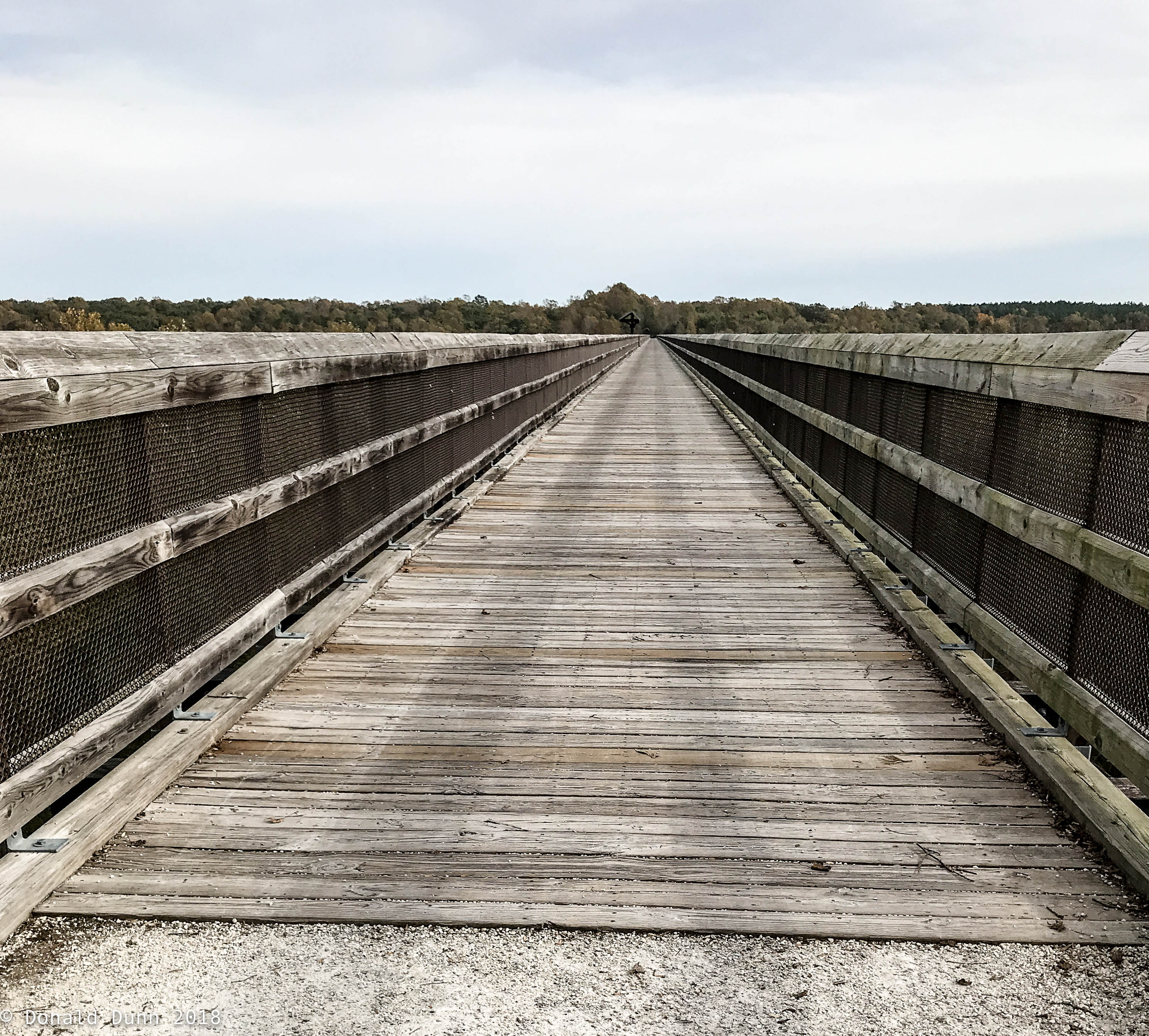
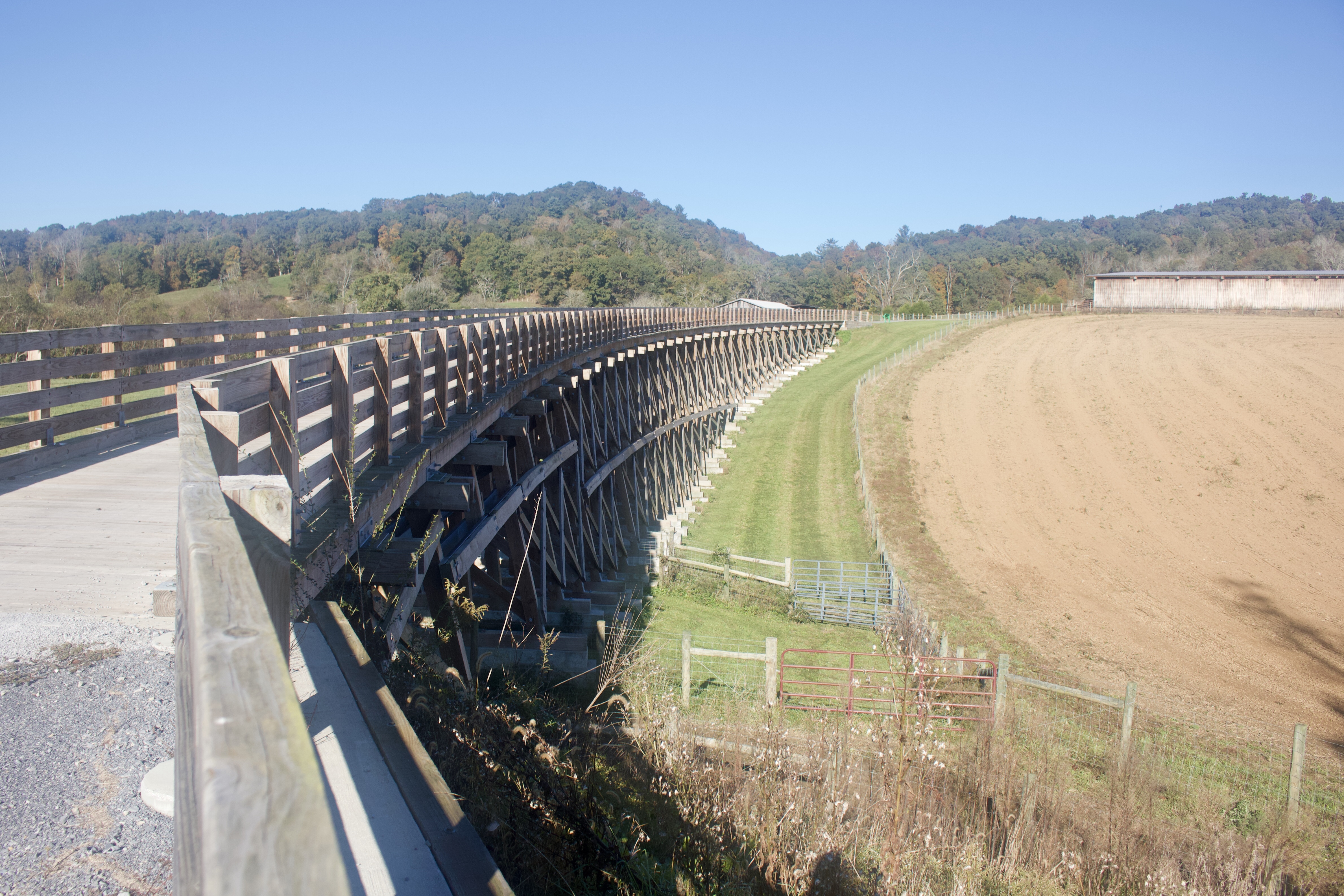
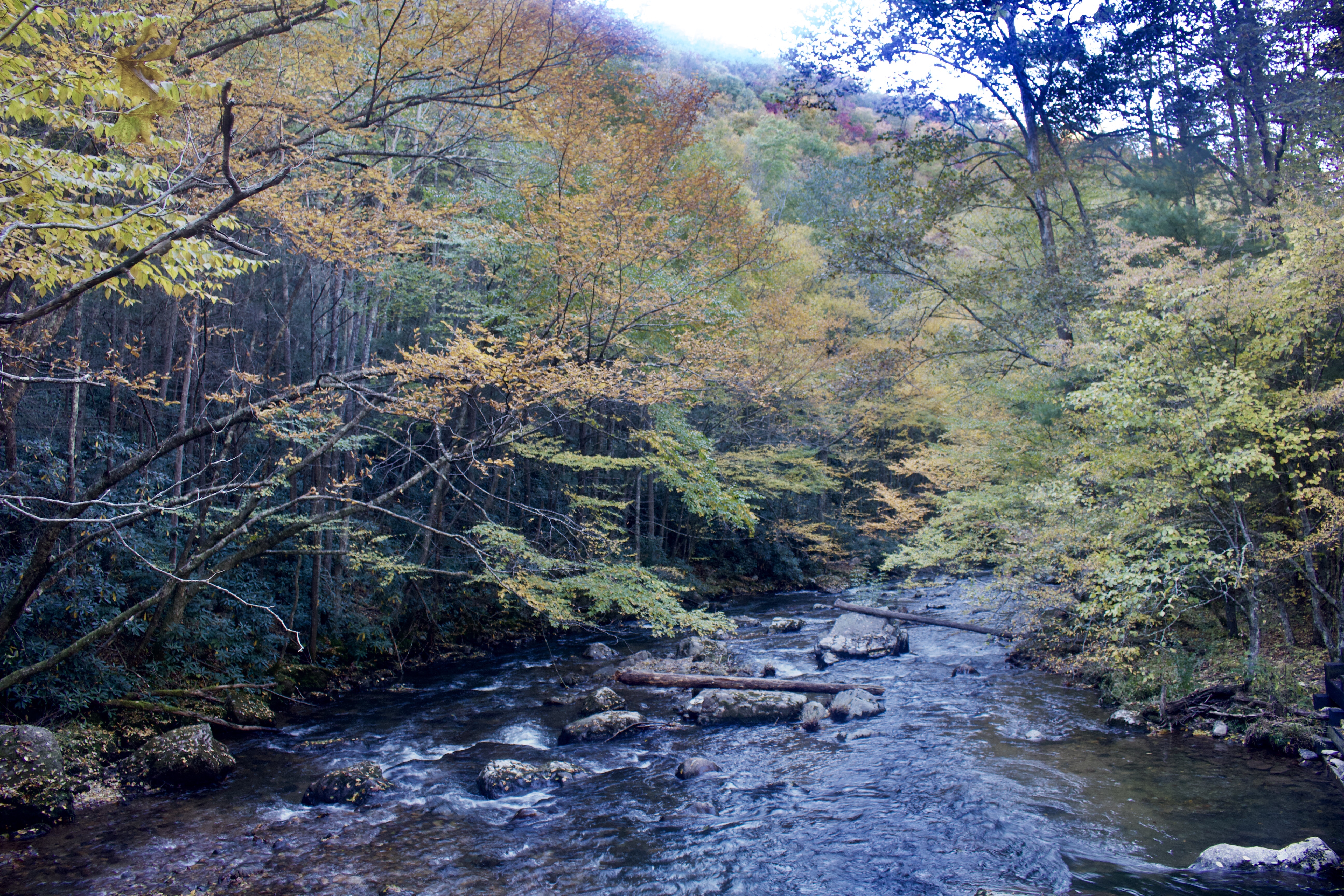
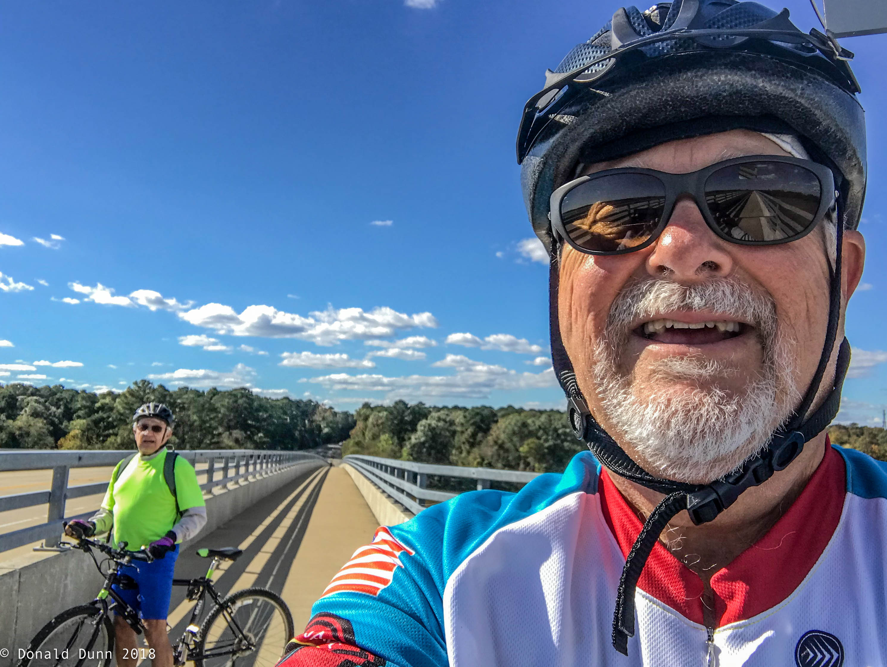
Entering the Chickahominy Riverfron segment, we crossed the Chickahominy River on the Judith Stewart Dresser Bridge on a 10-foot wide path separated from traffic by a divider where we had panoramic views of the the James and Chickahominy Rivers.

Crossing the Chickahominy River

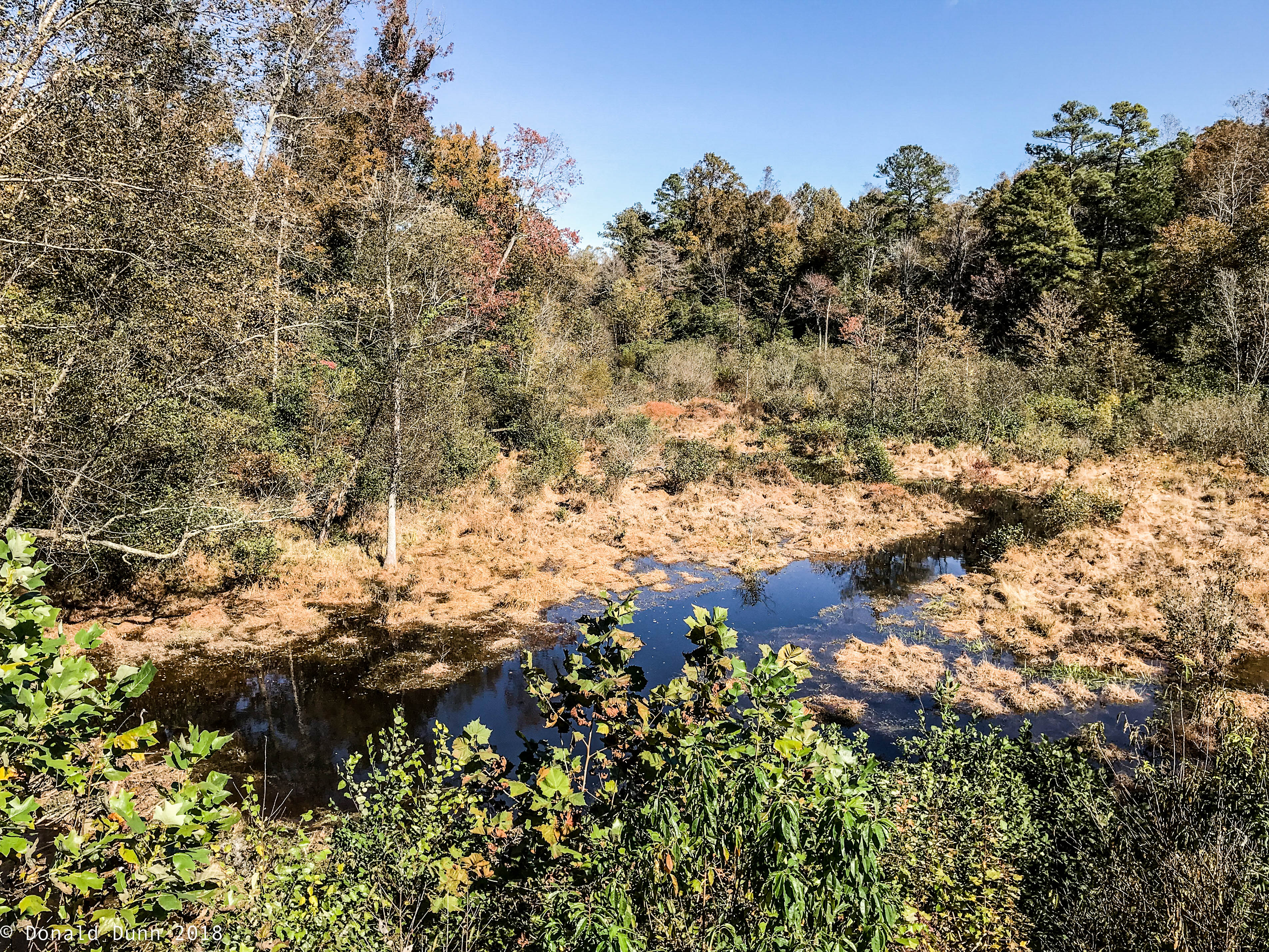
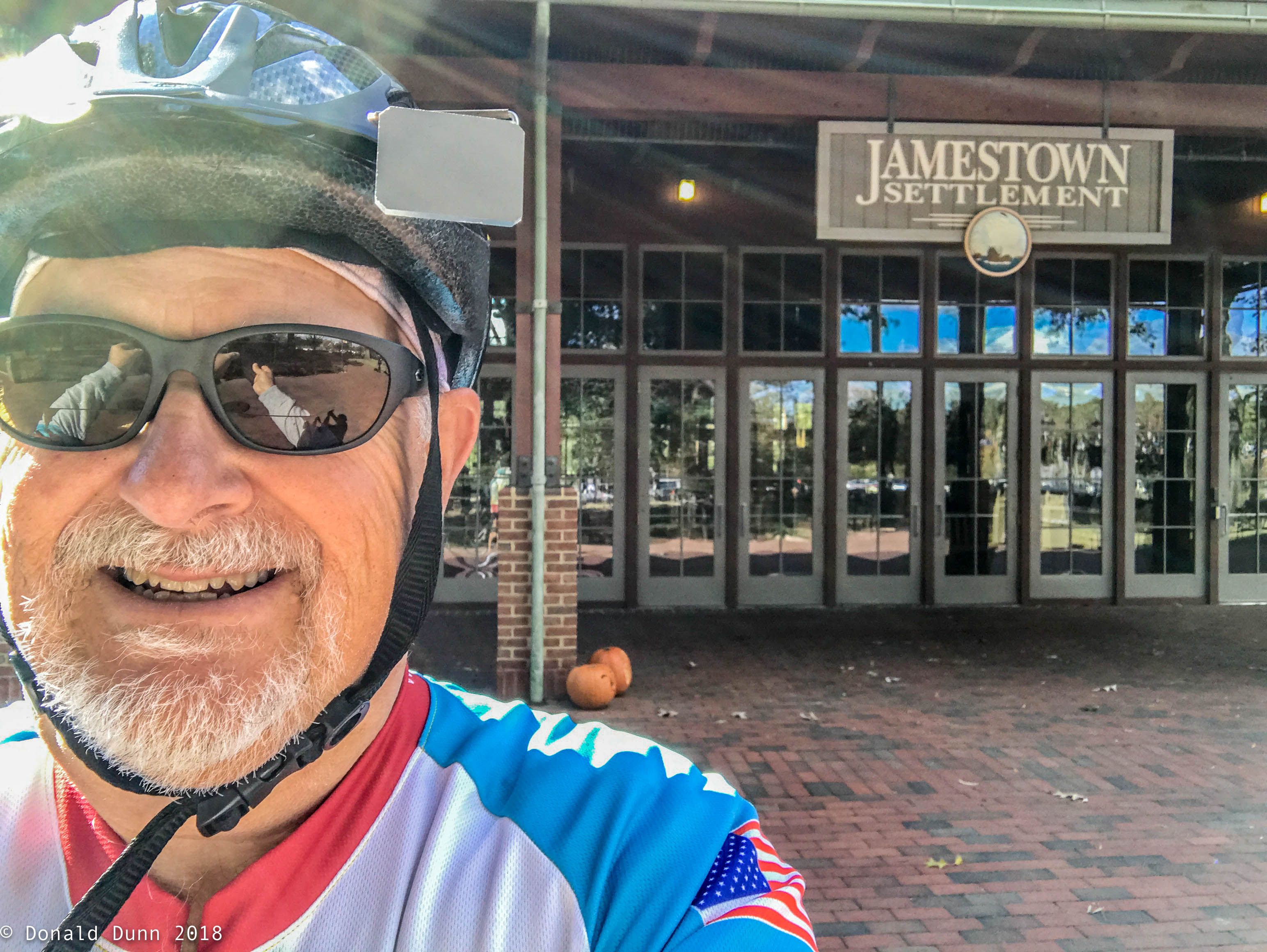
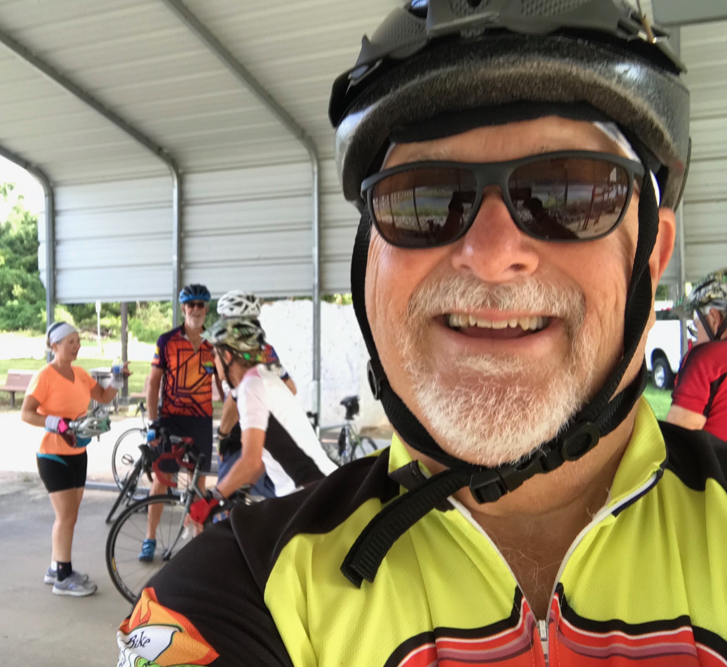
The southern end of the trail is known as the Greensprings segment, passes Revolutionary War battlegrounds and a 40-acre wooded wetland and wildlife area along the way, and ends near the Jamestown Settlement. We arrived at Jamestown about an hour ahead of our shuttle (Kay and Nan), tired but elated at having pedaled the Virginia Capital Trail.

One of many Wetlands along the trail
Jamestown, End of the Trail

Thursday, October 25—High Bridge Trail

Last night’s motel in Wytheville, VA, was clean, not terribly expensive, and quite adequate. It was also adjacent to a Cracker Barrel restaurant, one of our favorites when traveling—not because they are great, but because they are consistently good. Consequently, the motel’s tasteless “breakfast” was bypassed for our favorite “Breakfast Sampler” at Cracker Barrel.

Travel to the High Bridge Trail trailhead was diverted to tour Appomattox, where Robert E. Lee surrendered to U.S. Grant, effectively ending the Civil War. Considering the significance of the surrender, this national historic site was a bit underwhelming—sad.

181025_E_004

House where Lee surrendered to Grant

From Appomattox, we traveled to the High Bridge Trail.  High Bridge Trail State Park

181025_E_004-2

At the trailhead in Rice, VA

is a multi-use trail ideally suited for bicycling, hiking, and horseback riding. Its centerpiece is the High Bridge, which is more than 2,400 feet long and 160 feet above the Appomattox River. The bridge was built in 1853 as part of the South Side Railroad, and was the site of one of the last battles of the Civil War on April 6 and 7, 1865. The war ended two days later at Appomattox. Access to the trail was limited, resulting in our stop at the trailhead in Rice, VA.

181025_E_009

Converted factory in Farmville, VA

This is the smoothest rail trail I’ve pedaled, allowing a quick trip to Farmville, VA, home of old converted factory high rises to high end furniture showrooms (we bought most of our furniture for the Norfork house here).

As I neared Farmville, a sluggishness in the ride was noticeable as it became increasingly difficult to pedal.

181025_E_008-2

High Bridge Trail and restored depot, Farmville, VA

A glance at the rear tire revealed yet another flat. Fortunately a bike store was nearby, and while no mechanic was on duty, they allowed me to change the tire on their showroom floor. This stop proved fortuitous as they advised of a significant trail closure due to damages from Hurricane Michael.

181025_E_015

Trail closure near Farmville, VA

Also fortuitous was meeting up with Kay a couple hours early in Farmville rather than Prospect, our original “meet up” point. She shuttled me to the trailhead at the south end of High Bridge, whereupon I quickly rode the near half mile length of the bridge and back.

181025_E_005

Trailhead near Farmville, VA

181025_E_012

High Bridge, from which the trail gets its name

From there it was off to Inn on the Avenues B&B, followed by dinner.

Wednesday, October 24—Virginia Creeper Trail (Part 2) and New River Trail

We awoke to our first frost of the year, in Abingdon, VA, having to defrost windows for the first time in years (avoided frosty windshields by wintering in south Texas). Today’s agenda included completing the Virginia Creeper Trail, driving to Fries, and riding a portion of the New River Trail. I opted to ride the lower portion of the trail, almost 16 miles, from Abingdon to Damascus; it was 39° at the trailhead, the lowest temperature at which I had ever ridden.

Trailhead parking in Abingdon, VA

A pretty viaduct along the trail

At about the 3 mile mark, pedaling became quite difficult; the back tire was nearly flat. Slowly, after removing a couple layers of clothes, the tube was changed, and the ride resumed.

A flat tire about 3 miles into the ride

Back in business with a new tube

The trail was pleasant enough, though much less scenic than the upper portion. It was slightly downhill the first half, slightly uphill the second half, and relatively smooth, but cold headwinds made pedaling a bit tough, and forced me to continually wipe watering eyes and blow a runny nose. There were several gates across the trail since much of this portion of the trail is on private land, much of which is used for grazing. After about two hours, and despite a flat tire, I pedaled into Damascus, having completed the Virginia Creeper Trail.

Several gates intersected this portion of the trail

Typical trail section

From Damascus, our trip took us to Fries, VA, to a trailhead of the New River Trail. New River Trail State Park is a 57.7-mile (92.9 km) rail trail and state park located entirely in southwest Virginia, extending from the trail’s northeastern terminus in Pulaski to its southern terminus in Galax, with a 5.5-mile (8.9 km) spur from Fries Junction on the main trail to Fries. Designated a National Recreation Trail, the linear follows 39 miles (63 km) of the New River, which is one of the five oldest rivers in the world.

New River Trail trailhead at Fries, VA

Because the trail followed the New River, I opted to ride downstream, thus downhill, and because the portion from Galax to Fries Junction was less scenic, I began in Fries.

The ride proved to be a bit strenuous because of headwinds and rough trail conditions. The trail was pocked marked by horse tracks, had a number of small fallen branches, and was surfaced with crushed limestone up to about 3 inches, all disguised by a light leaf covering. The New River was much larger than perceived, resembling the upper White River in both appearance and character. The almost constant roar of the river provided a bit of diversion from the cold wind and rough road.

The large fast flowing New River

Fries Junction

Fries Junction

Two dams were at trail side, and both looked worse for wear. Also notable was a short tunnel. Several walkers, cyclists, and horseback riders were on the trail.

One of two dams seen on the New River

Finally, a tunnel

I missed the pickup point at Shot Tower, riding to Foster Falls before turning around and riding back to meet Kay. I enjoyed the ride, but this trail is the least favorite of all ridden.

Tuesday, October 23—The Upper Virginia Creeper Trail

Cookeville, TN, was in the rearview mirror by 9:00 AM, and we were driving east towards Virginia. Crossing into EDST, another hour was taken away from our already shortened day. The goal today was to ride the Rail Trail Hall of Fame Virginia Creeper Trail. We arrived at Whitetop, VA, a small mountain town near the Virginia, North Carolina, and Tennessee border.

Whitetop Mountain Trailhead, Virginia Creeper Trail

Whitetop Mountain is part of Mount Rogers National Recreation Area

I rode south about 0.7 mile to the actual trail beginning at the North Carolina-Virginia state line before turning around and heading north and downhill towards Abingdon, Virginia.

Mile “0” of the Virginia Creeper Trail

With the constant downhill slope, little to no pedaling was required; however, it was slow going due to rough trail conditions and incredible scenery. Under a dense canopy of colorful trees, the trail generally followed a mountain stream rushing downhill among car-sized boulders. And yes, it was a bit cool, about 50°.

Beautiful scenery and Christmas tree farms abound along the trail

Downhill for 17 miles

Mountain stream adjacent to the trail most of the way

Leaves have begun to change colors

With all the stops, it became apparent that I would not be able to pedal and the entire 30+ miles before dark. However, all attempts to phone Kay to change the pickup point proved futile because of “no service” cell phone coverage. As I pulled into Damascus, Virginia, “Trail Town USA”, coverage resumed and a pickup was arranged. (Damascus, Virginia, a small town of about 8000 people in the Blue Ridge Mountains of Southwest Virginia is known as Trail Town USA, because seven nationally known trails intersect within its borders, including the famous Appalachian Trail. I have read several stories and books referring to Damascus as a resupply point for those hiking the Appalachian Trail, including AWOL on the Appalachian Trail by David Miller.

Monday, October 22—Headin’ East

After a late start, our departure toward Richmond, VA, was further delayed because of low air pressure in the tires and the need to return an Amazon Prime package. As it turns out there’s not a full service UPS store anywhere to be found on the east side of Hot Springs Village. Consequently, we stopped in Benton to return the package before finally on the way uninterrupted.

Our destination for the day was Cookeville, Tennessee, where we met Lynn and Nick Constan, friends from working in New Orleans in the late 1970s. Nick is quite the craftsman and built much of the furniture in their house, and over the last several months built a fantastic lake boat. Lynn you’re still suffering a hip injury from a bicycle accident over a year ago, and is scheduled for yet another surgery in mid December. After a delicious dinner the all-too-short evening ended as we said goodbye for whoever knows how long. (It has been almost 40 years since I last saw them, and they had never met Kay!)

Nick, Lynn, and Donald

Monday thru Saturday, September 16-30—It’s Still Summer, but… (Part 2)

On September 21, Kay and I got annual flu shots at the church, hoping to stave off the deadly flue for another year. The new improved shingles shot awaits, and the pneumonia shot from 4 years ago is still update.

We took another big step to modernize, increase efficiency, and reduce monthly costs this month. On September 22 we officially ‘cut the cord’. The monthly internet access and cable television bill—ATT Uverse—kept increasing. After a lot of research, we opted to switch to Suddenlink internet coverage, and subscribe to YouTube TV and the local PBS affiliate. Internet speed increased from 16 megabytes/second to 100 megabytes/second with unlimited data and no throttling, and we stream the shows we like and prefer, including local network affiliates; net monthly savings is approximately $115. Also, Kay switched us to 55 Unlimited with Verizon. This plan allows us two cell lines with unlimited calls, text, and data as well as coverage in Canada and Mexico; this resulted in about $15 in monthly savings.

After 4 years, Kay switched to a new dentist and hygienist; we had kept our northern Arkansas dentist (Dr. Lane) and hygienist since leaving in October 2014. This was a hard decision, but the time had come to find dental care closer to home.

With mixed emotions, we traded the 2004 Expedition on September 25 for a 2018 Honda CRV. It was time, and we are now a 100% Honda family (except for the motorhome).

IMG_1724

Bye-bye great car (2004 Ford Expedition Eddie Bauer Edition)

Saturday thru Sunday, September 1-15—It’s Still Summer, but … (Part 1)

Kay and I celebrated 18 years of marriage on Sunday, September 2; it’s been a great 18 years, too. Tim and Rosie, friends from the Rio Grande Valley visited after church, and we reminisced about old time and talked about future plans.

We played golf together in the Hot Springs Village Duffers annual member/guest scramble—I played poorly—and celebrated the winners at a cookout a couple days later.

Those clubs and organizations which took a hiatus over the summer have begun meeting again; for me, it’s the Camera Club and the VMUG (Village Mac Users Group—all things Apple).

In early September, we began to see a significant increase in the number of Ruby-throated Hummingbirds at the feeders, a sure sign that migration is in full force. And then on the 11th, a leucistic female Ruby-throated Hummingbird showed up. Though not as rare as true albino hummingbirds, leucistic hummingbirds are still rare but are seen more often than true albinos. Like “normal” hummingbirds, leucistic forms have black eyes, feet, and bills, but their feathers may be pure white, buffy, tan, or gray instead of green or some other “normal” color. We enjoyed her for 7 days, almost to the hour, before she migrated south.

180912_E_004

Leucistic female Ruby-throated Hummingbird in the rain

180915_Er_015

Female Leucistic Ruby-throated Hummingbird

With a bit of cool weather, I joined other HSV oldies for cycling the Arkansas River Trail in North Little Rock and Little Rock while Kay shopped. This is one of my favorite bicycle trails. The ride begins at the Clinton Presidential Library, crosses the Arkansas River, follows the Arkansas River upstream to the Big Dam Bridge crossing the Arkansas River again, then along the river to Two Bridges Park, and finally to the US Army Corps of Engineers campground at Maumelle Park—out and back is some 30 miles.

IMG_1713

Rest Station at Maumelle COE Park

IMG_1709

Cook’s Landing near the Big Dam Bridge

Saturday thru Friday, August 25-31—We’re Home Again

After an early breakfast and lots of good-byes, we departed the Laurelville Mennonite Christian Center for home. Driving through western Pennsylvania, West Virginia, Kentucky, and Tennessee, we arrived at our house in Hot Springs Village about 8 pm Saturday evening. Despite the long drive, we were glad to be home.

After quickly unpacking, laundry was done and the bicycles were washed, re-tuned, and lubricated. After being ridden on both the KATY Trail and the Great Allegheny Passage, the TREK DS 8.3 was listed for sale.

IMG_1704

TREK DS 8.3, for sale

Except for a low key 69th birthday celebration, we quickly returned to a normal routine rather quickly. We sure enjoy living in Hot Springs Village.

Friday, August 24—Cycling the GAP, Pittsburgh to Buena Vista

Today’s concluding ride of 29+ miles began in Pittsburgh, PA. Before the ride began, we took the Duquesne Incline to the top of a mountain overlooking Pittsburgh for a great view of the city and the three rivers for which it is famous: the Monongahela, Allegheny, and Ohio.

Duquesne Incline
Dusquesne Incline
Dusquesne Incline overlooking the three rivers and football and baseball stadiums

Navigating through the streets of downtown Pittsburgh was challenging but our leaders, LaVern and Janie Yutzy, did a great job guiding us through the busy city streets and bridge crossings to reach the GAP trail terminus at approximate mile 150 at Point State Park where the “three rivers” meet—the Monongahela and the Allegheny joining to form the Ohio.

Point State Park; Monongahela River on lower right, Allegheny River on upper center, and Ohio River where they meet

Point State Park, end of the trail

The GAP trail was paved through the metropolitan and outlying areas, with many bridge crossings, changing to crushed limestone about midway of the ride. The trail was gently uphill, and the wind was lightly blowing into our faces, making for a challenging pedal, at least for me. Along the way we continued to pass skeletons of buildings now left to decay and trailside coal mining and coke towns, many of the houses of which had been updated.

An old railroad roundhouse, vacated and left to deteriorate


Typical coal mining and coke town

Our lunch stop was at Homestead at the historic pump house (site of the bloody Battle of Homestead where a strike by steel workers was broken by 300 Pinkerton men and some 8,000 state militia in 1892, signaling the end of union activity in the steel industry until the 1930s).

Homestead

The afternoon segment of almost 20 miles was without any formal breaks, thus the pace was relatively fast. The trail was open to sunlight in many places, and in forested parts of the trail, the vegetation was less dense than the lower trails sections ridden earlier in the week with a few waterfalls.

We arrived at our take-out point at Buena Vista to much fanfare, having completed the 150 mile Great Allegheny Passage.

Finishing riding the 150-mile GAP, another life list item completed!


https://www.strava.com/activities/1794903340/embed/3642424b11265b82e1c068f05ba98bc8092ccd2d

Thursday, August 23—Cycling the GAP, Connellsville to Buena Vista

Today’s ride of about 32 miles began in Connellsville with blue skies and temperatures in the mid-50s. Dense, mostly forested land adjacent to the trail gave way to a more open area with still standing remnants of the coal and coke industries which drove the economy of the region.

Remnants of the now defunct coal and coke industry

Remnants of the now defunct coal and coke industry

This first segment of the day’s ride took us past scenic waterfalls and the 100-mile marker, also marking 100 miles cycled thus far this week.

Many serene waterfalls and creeks flowed adjacent to the trail 
Passing the 100-mile marker
Our early lunch, some 16 miles up the trail, was at Whitsett, an old coal mining town.
Lunch at Whitsett
With only one brief stop, we cycled another 10 miles to West Newton, where along the trail we saw several pieces of trail side art.

Gold bicycle alongside the trail

Passing mile marker 109

West Newton at mile marker 113
Another 3 miles took us to an ice cream place for soft serve yogurt, followed by another 3 miles to our terminus at Buena Vista. The small towns through which we pedaled were all coal mining towns reflecting poverty and lifestyles resulting from the disappearance of the coal industry. Interestingly, cycling and river-based recreation now account for a major portion of the local economy.

An “orange” waterfall resulting from iron seeping into the groundwater

After a return to LMCC, showers and naps preceded dinner and an evening program on the biodiversity of the region.