Thursday and Friday, August 6-7—Craggy Gardens and Mount Mitchell

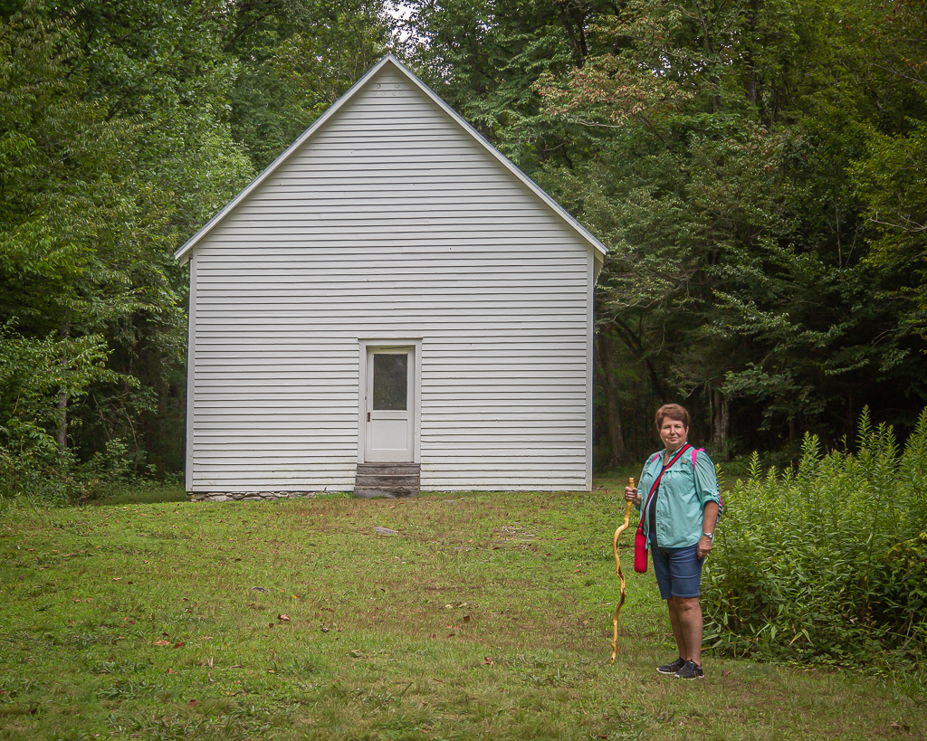
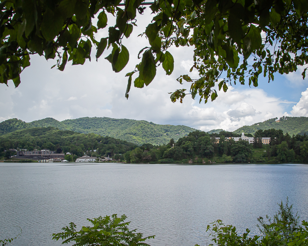
Thursday was uneventful as I stayed in the motorhome most of the day while Kay shopped (looked).

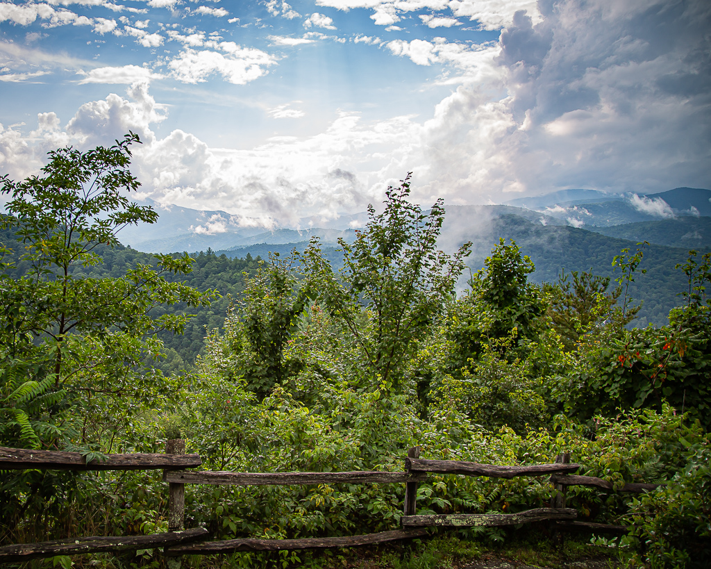
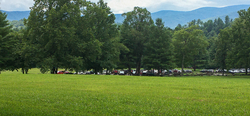
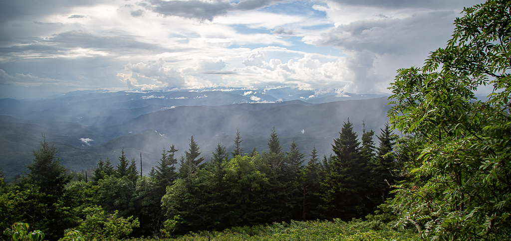
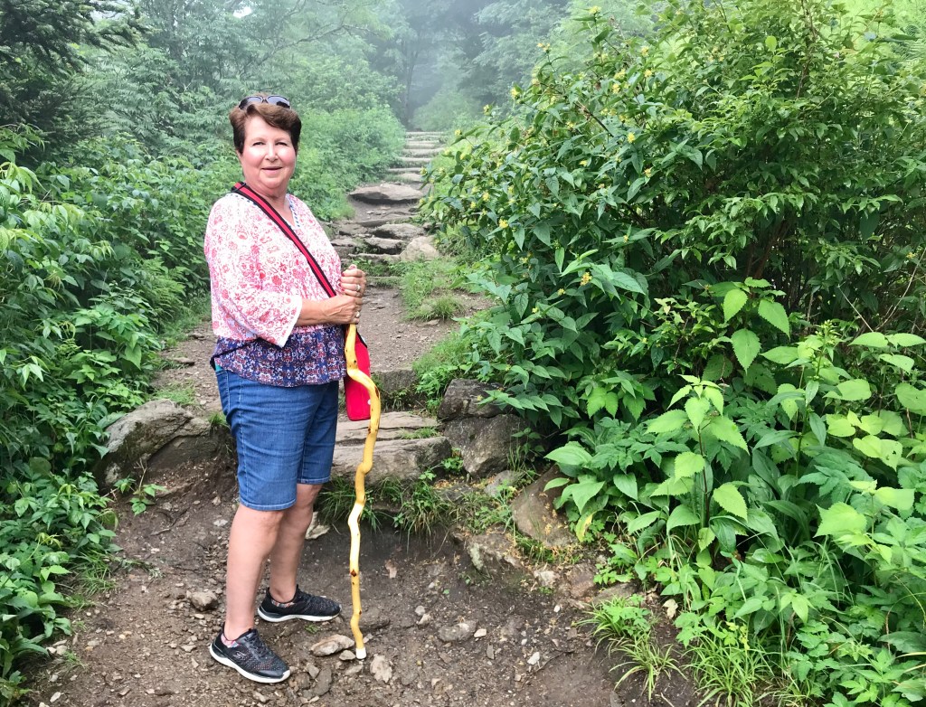
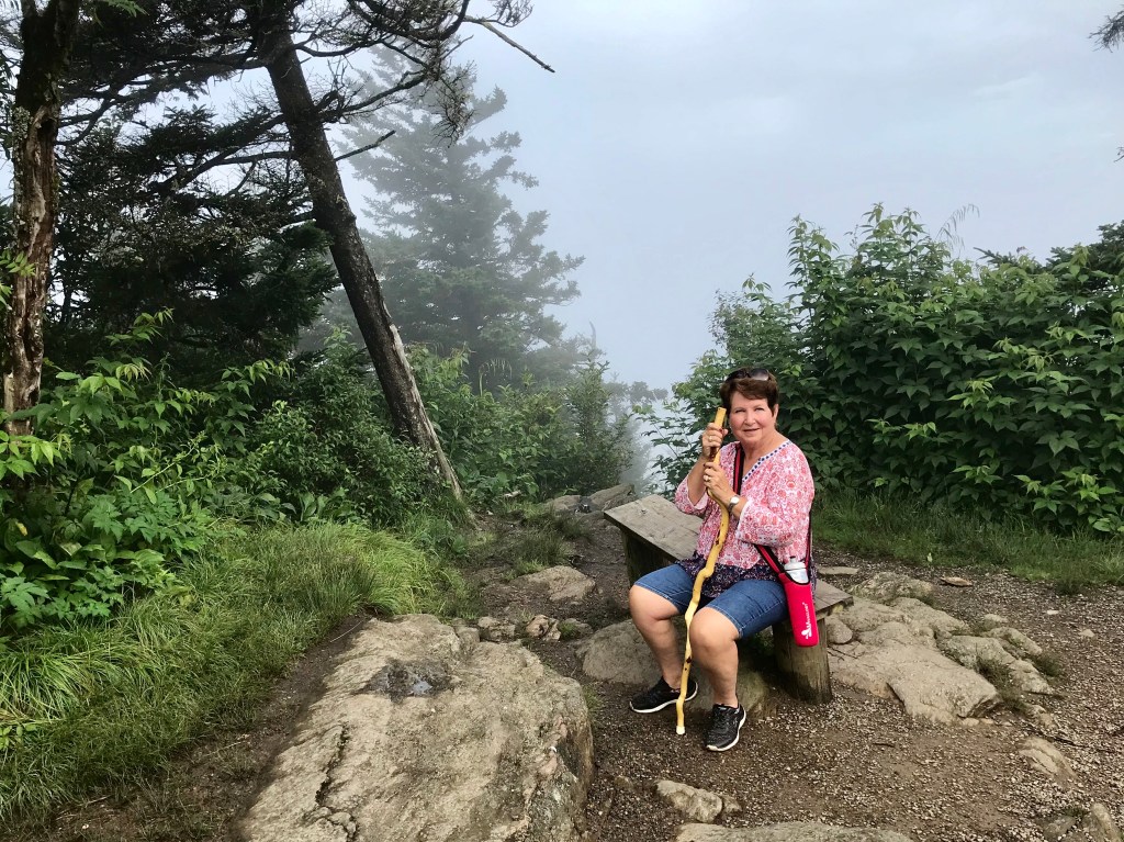
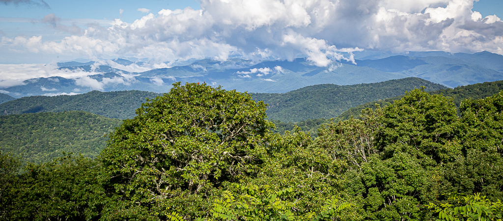
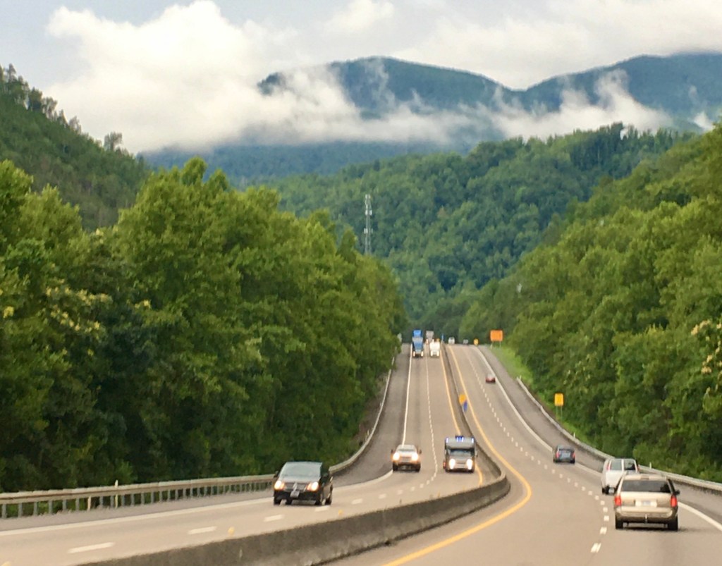
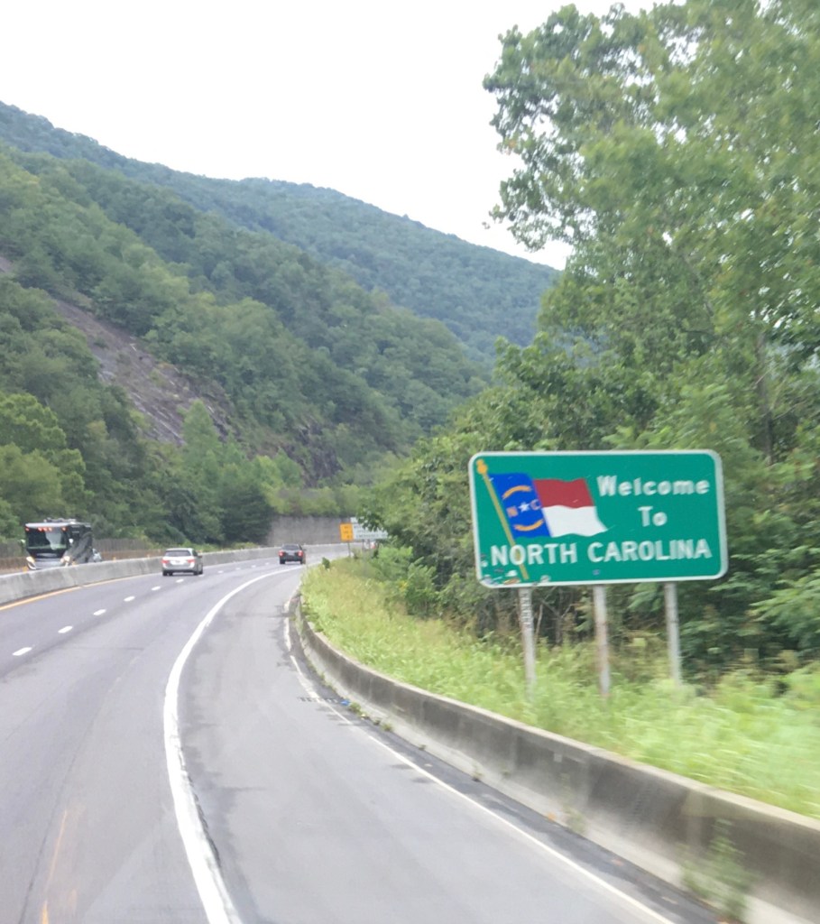
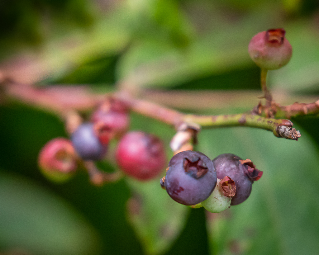
Most mornings, I am so slow to get going; quite a difference from back in the working days when I hit the ground running. It seems that we’ve developed a routine of going out every other day, and today (Friday) was the day! After homemade breakfast burritos, we drove I-40 to Asheville, and then the Blue Ridge Parkway north up, up, and up to mile-high Craggy Gardens. As we approached the area, a sign appeared for the Craggy Picnic Area to the left. It was only a short drive to the parking area. From there, we hiked upward almost a mile to the 5,680 ft high Craggy Flats, eating a blueberry or two along the way.

Kay on the trail to Craggy Gardens
Lots of blueberries, though the ones we ate were a little tart

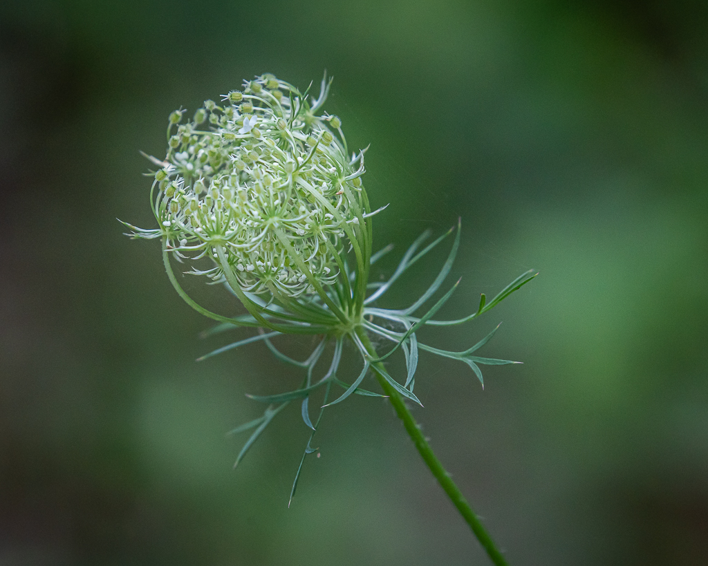
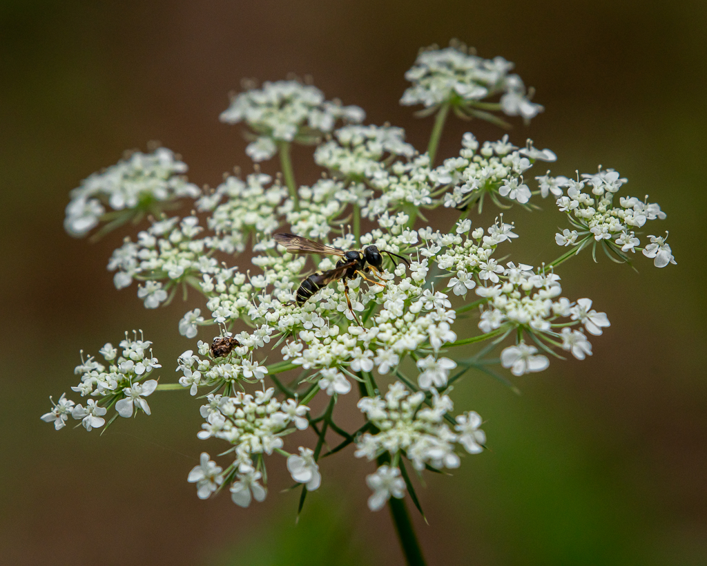
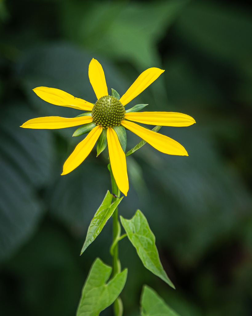
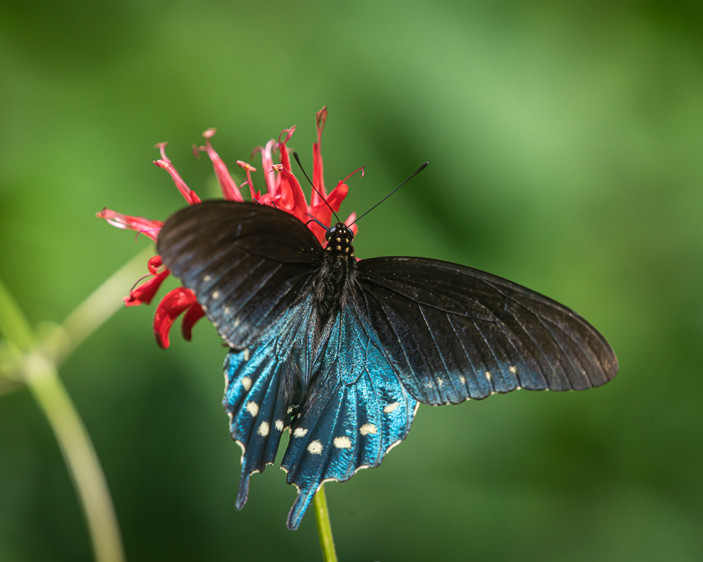
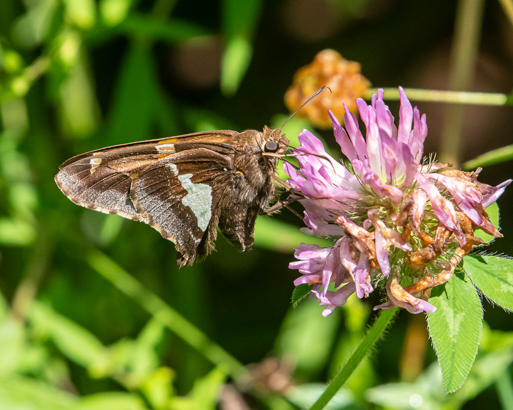
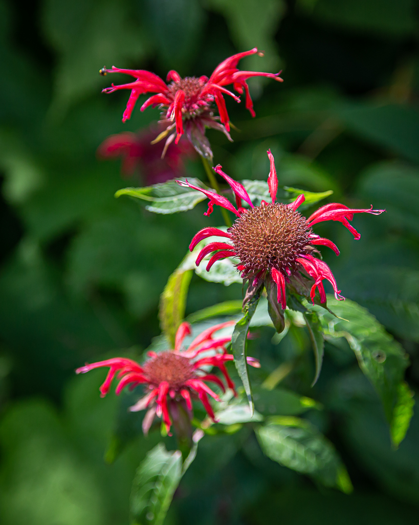
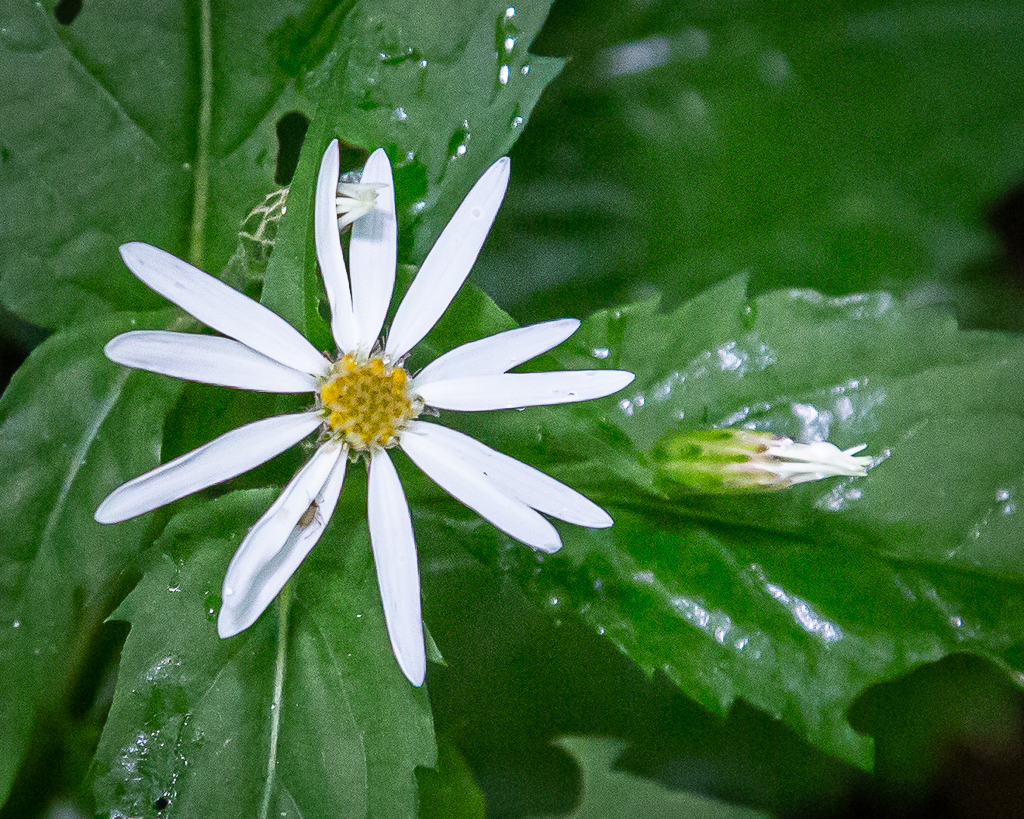
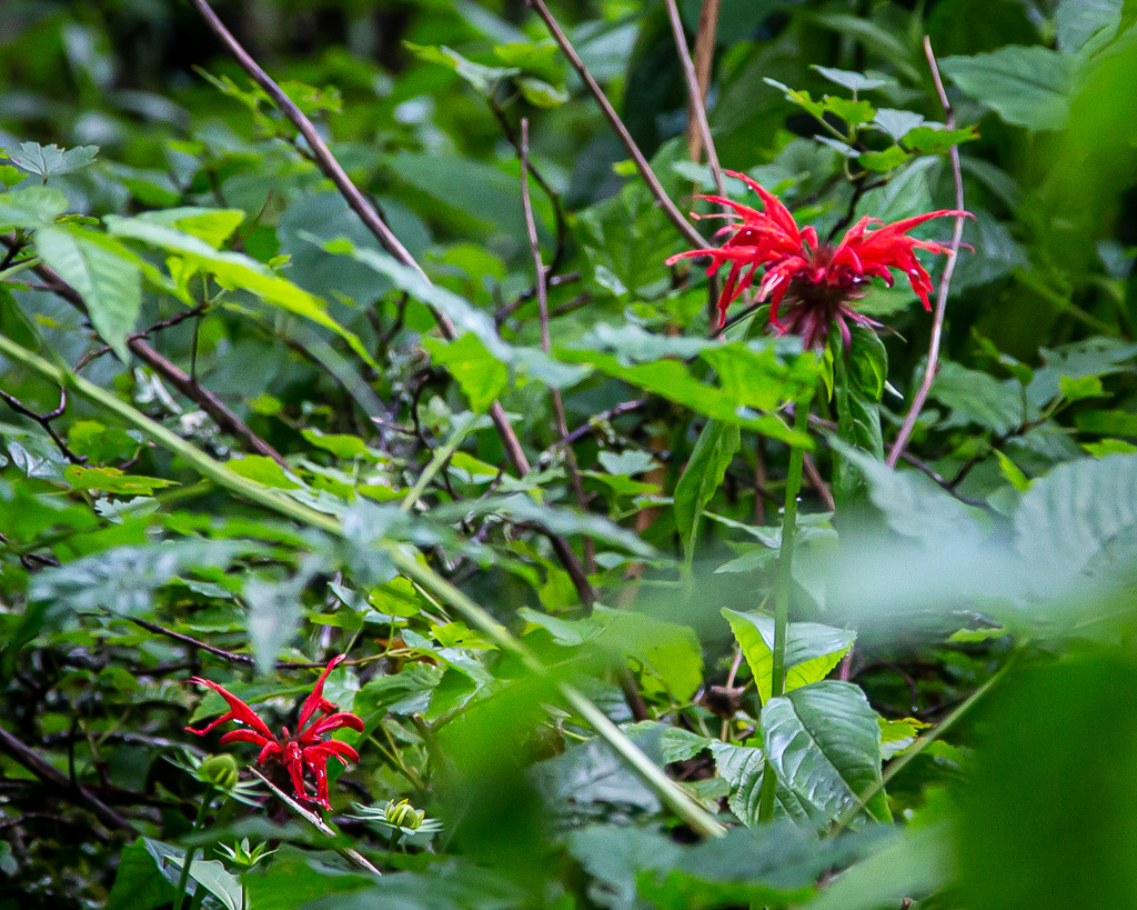
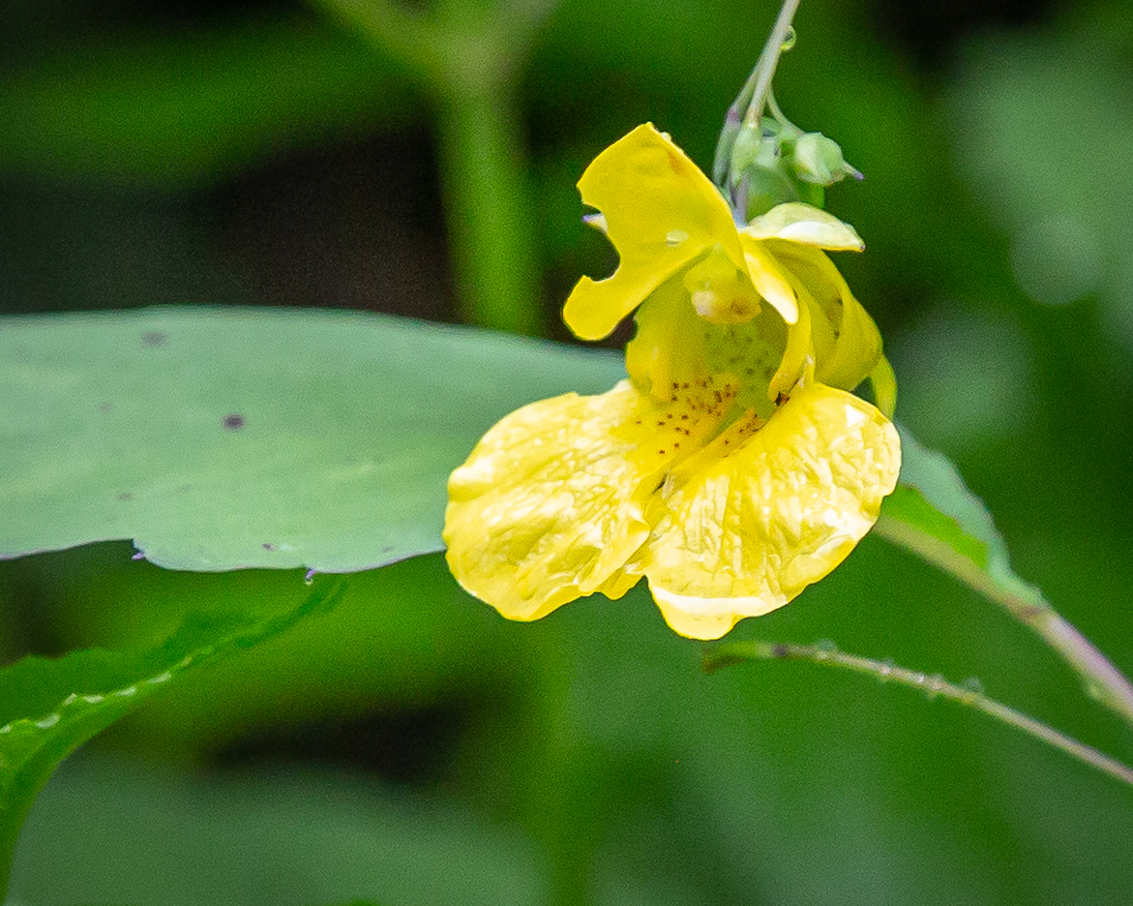
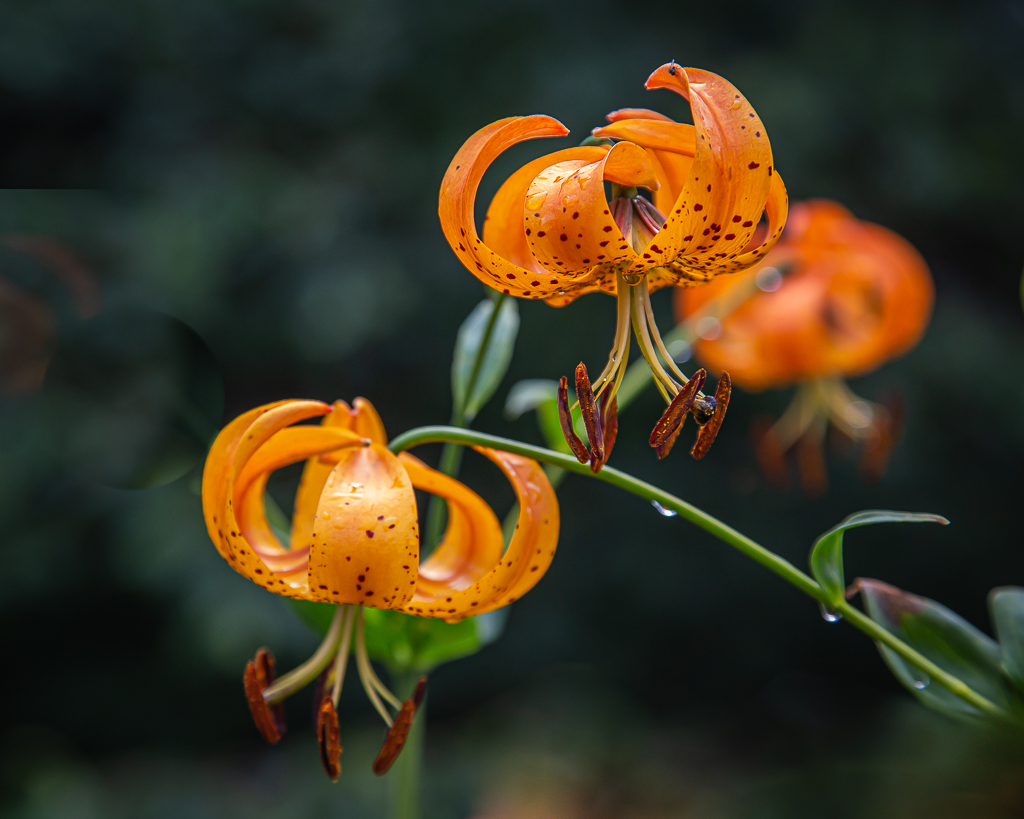
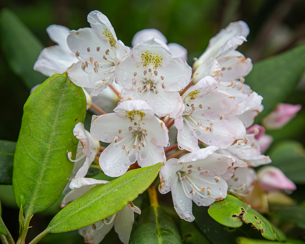
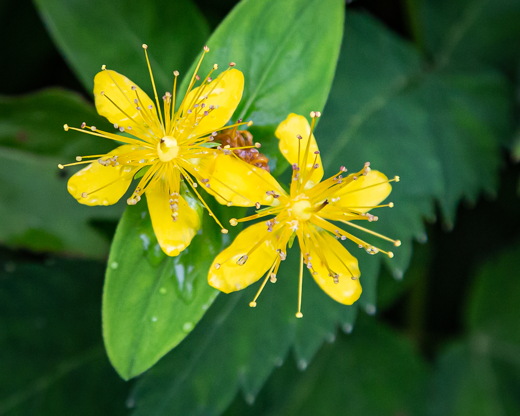
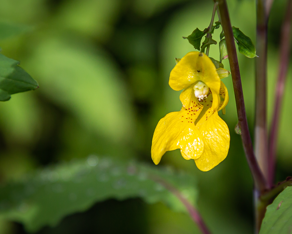
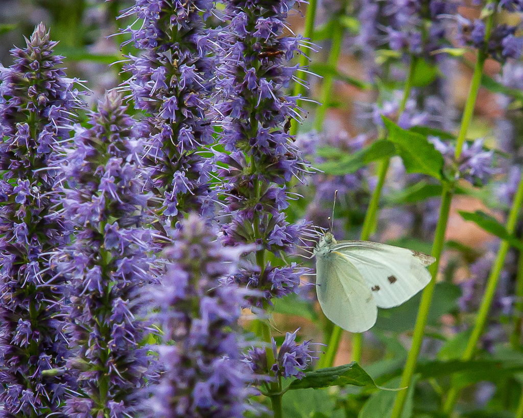
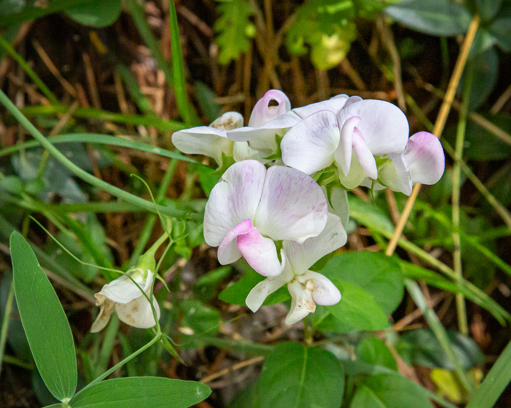
Even though expecting it, the “bald” surprised us as it resembled a palette of colors—generated by the numerous wildflowers in bloom. One can only imagine what it would be like in mid-June when the pink and purple blooms of Catawba rhododendrons blanket the area. It was pleasantly surprising to observe almost everyone hiking the trails wore masks, including children; says a lot about those who enjoy nature!

Turk’s Cap Lily was one of my favorites
These birds were everywhere—in the shrubs, on the trail, and in the grass

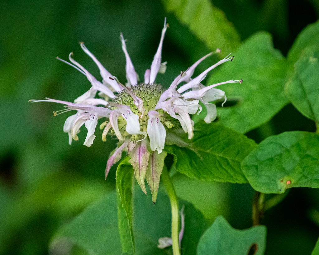
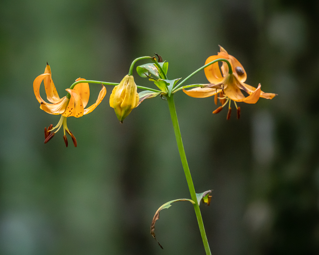
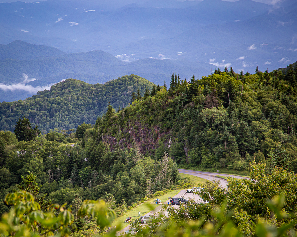
Twisted, jagged, rocky “crags” give Craggy Gardens its name, but these high elevation summits are home to the most spectacular floral display along the 469-mile Blue Ridge Parkway corridor. Craggy Gardens has been recognized by the state of North Carolina as a Natural Heritage Area.

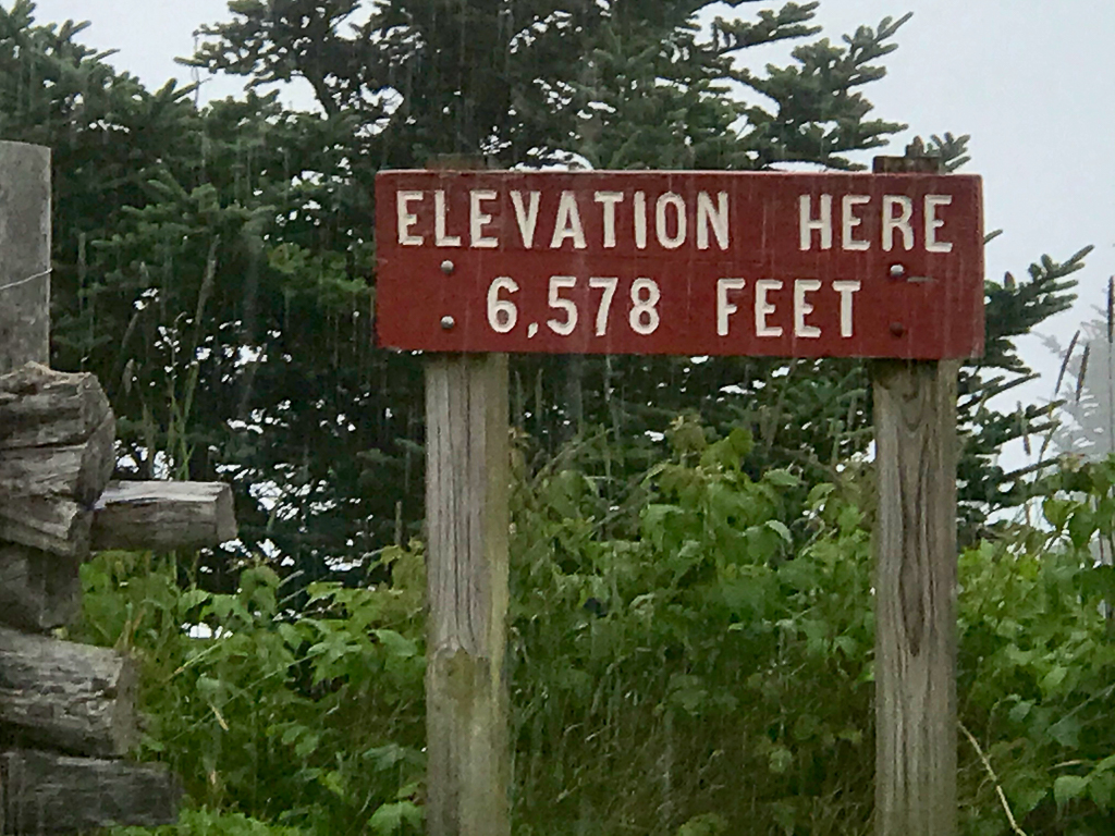
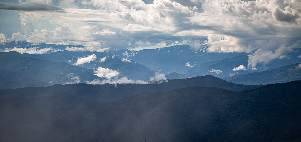
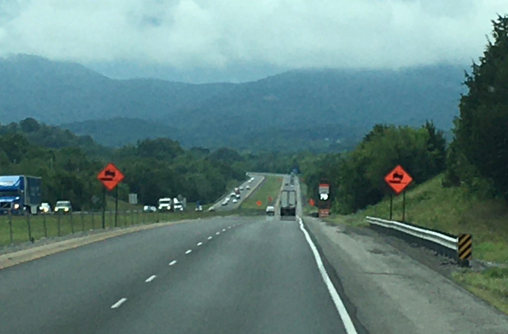
Just as we were finishing the hike, it began sprinkling and then turning into a full blown rain. From Craggy Gardens, we drove in the deluge of rain to Mount Mitchell, the highest point east of the Mississippi River at an elevation of 6,684 feet.

Driving through the clouds at elevation 6,000+ feet

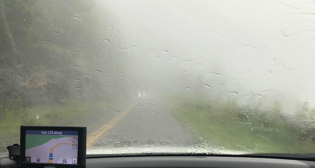
The state highway took us almost all the way to the top. With continuing rain, we did not hike the few feet to the summit, but grabbed a quick photo our the wind. It continued raining most of the afternoon, but quit as we returned to the motorhome about 6 PM.

Parking area near the summit of Mount Mitchell

Wednesday, August 5—Cataloochee Valley

Today was another laid back day. With the pandemic surging and the lack of personal safeguards among the public, we try to stay away from people. However, Kay made an exception and met a friend with whom she taught many years ago and who is staying in the area for a few weeks. They had lunch, and reminisced about old times, catching up of news related to common acquaintances, all the time social distancing.

In the late afternoon, despite the threat of rain, we drove northwestward in an attempt to find Cataloochee Valley, a tiny piece of GSMNP. The road had many switchbacks as the car slowly climbed on the asphalt pavement, and even more slowly as the pavement transitioned into gravel. Kudos to the National Park Service for their great maintenance on a tight budget. Some segments of the road were so narrow that there was room for only one vehicle to pass, but there were many pullovers to accommodate the traffic. And then, it was back to pavement and just when we thought we were lost after a few more miles, a dead end and parking area awaited us—Cataloochee Valley.

View enroute to Cataloochee Valley
The ascending clouds looked like smoke signals from olden times, and somewhat reminding us of Yellowstone NP

Cataloochee Valley is nestled among some of the most rugged mountains in the southeastern United States. Surrounded by 6000-foot peaks, this isolated valley was one of the largest and most prosperous settlements in what is now the Great Smoky Mountains National Park. Some 1,200 people lived in this lovely mountain valley in 1910. Most made their living by farming, including commercial apple growing, but an early tourism industry developed in Cataloochee with some families boarding fishermen and other tourists who wished to vacation in the mountains. A variety of historic buildings have been preserved in the valley, including two churches, a school, and several homes and outbuildings. This is considered the Cades Cove of North Carolina.

In 2001, elk were released in Cataloochee Valley as part of an experimental program to reintroduce elk to the park. The herd can be seen regularly in the fields of the valley, especially in the early morning and evening hours. This was our major objective, and we were not to be disappointed. Just as we were leaving the car at the Cataloochee Valley parking area, it began to sprinkle, and then turned into a light rain. We managed to see one building before elk began pouring out of the woods in a far corner of the field; of course, I had the wrong lens, so it was back to the car for alternate camera/lens, tripod, and raincoat. We managed to make several photographs before the elk became close, causing us to retreat back to the parking area. And then, the elk crossed the road, and moved through the woods into a large field. There, we were able to set up the tripod and camera/lens, and make photos from a distance. Buffalo gnats were swarming and left a bunch of whelps on Kay’s legs.

This herd came out of the woods one-by-one with the little ones cavorting all over the place
This bull was careful to watch over his harem
The onlookers made too much noise, drawing attention from this bull
She was almost too close for comfort; we retreated to the other side of the car

After such an excellent adventure, we returned to the motorhome via the same road that took us the Valley, stopping to make photos of the beautiful, post rain mountain landscape.

Monday and Tuesday, August 3-4—Hurricane Isaias and GSMNP

It rained all day Monday, as Maggie Valley was on the outer edge of Hurricane Isaias. Staying in the motorhome was not exactly what we had planned! Oh well, one has to take the good with the great.

After a lazy morning, we loaded snacks, sandwiches, and water in the car and drove through Great Smoky Mountains National Park (GSMNP) on US Highway 441. It was a gorgeous drive with lots of turnouts to observe the spectacular scenery. Our ultimate objective was Cades Cove on the southwestern side of the park, as far away from us as one could get and still be in the park.

Before turning towards Cades Cove, we drove to the nearest gasoline station fill up, and that proved to be all the way through Gatlinburg. It was packed with people and cars, and very few folks wore masks; I estimated 10%, but Kay said I was being generous and estimated the number at 3%!

Gatlinburg, TN
Gatlinburg, TN

From there we made our way ever so slowly, because of traffic, to the Cades Cove Loop. Near every trailhead, parking areas and the adjacent quarter to half-mile roadside was packed with cars, and kiters taking up part of the traffic lane.

GSMNP Visitor Center Parking Lot
About 1/2 mile from a trailhead

At our first stop in Cades Cove—a Primitive Baptist Church—it began raining and rained most of the time we were traversing the Loop road. There were at least two Baptist churches and a Methodist church in the community.

Primitive Baptist Church

Traffic crawled at about 5 miles per hour, with frequent stops; no bears were spotted!

Bumper-to-bumper traffic on the Cades Cove Loop
Trailheads were not safe due to large number of people
Another parking lot, crammed full
One of the primitive houses (not too different from those where I grew up)

On the way out, we stopped along a boulder-filled stream for a late lunch. We were both excited to be traveling US Highway 341 back to Cherokee because the views were incredible. At our turn, the road was blocked and the US Park Service ranger said the road was closed, to find another route—that was it, no explanation or anything. Consequently, it was back to Gatlinburg to a route north of GSMNP connecting to I-40, and back to Maggie Valley. We were both exhausted, though very little physical activity occurred during the day, and after briefly watching downloaded British television, we “crashed”.

Photos courtesy of Kay.

Saturday and Sunday, August 1-2—The Storm before the Calm

After a good day on Friday, Saturday was pretty yucky, with slight fever coming and going almost all day. I have watched YouTube channels and read blogs ad infinitum. The good news is that it did not rain, though it was overcast and windy all day. God bless Kay for all she does.

Today, Sunday, we experienced an epiphany; it’s the allergies, stupid. We opted to take a drive to Asheville, mostly via the Blue Ridge Parkway. With windows and sun roof open, it was glorious, until itchy eyes, sneezing, and a slight flush took over. Immediately closing the openings, the symptoms quickly disappeared. Ah ha, it is allergies, stupid.

Despite it being a Sunday, traffic was light as was parking at trailheads, though both increased as Asheville drew nearer. We stopped at the almost empty Blue Parkway Visitor Center near Asheville and picked up some much needed maps and Park brochures, and used the temporary toilet facilities. And then, we drove the Blue Ridge Parkway Folk Art Center to view various artworks related to the mountain culture—quilts, furniture, dolls, paintings, and many other forms of art were displayed.

Inside the Blue Ridge Parkway Folk Art Center

A bit too crowded for comfort (though everyone was masked), a search for wildflowers and butterflies ensued, with little luck. Only a couple of blooms were observed, and no butterflies could be found anywhere! After a few photos, we departed the Parkway and drove into Asheville to Sam’s Club, and then to Lowe’s, before driving back to the motorhome. There, we tied down the awning and attached a shade with hardware just purchased. It proved fortuitous as rain began, but the area near the door was relatively dry.  Oh, how it has been raining here in Maggie Valley, NC! 

Unknown bloom outside the Blue Ridge Parkway Folk Art Center
Wasp on Queen Anne’s Lace (?) outside the Blue Ridge Parkway Folk Art Center
Unknown bloom outside the Blue Ridge Parkway Folk Art Center

Tuesday through Friday, July 28-31—Down, but Not Out

This summer cold or allergy attack (or, God forbid, COVID 19) has interrupted a great summer getaway. A low grade fever, itchy eyes, and occasional sneezing is keeping me in to avoid infecting others, if this is, in fact, contagious; however, I do not feel bad, just not great! Consequently, Monday through Thursday were spent largely inside the motorhome. And, it has rained everyday we’ve been here; in fact, it has rained on our parade everyday since leaving on July 22—so glad 97% of scientists are wrong, and we DON’T have global warming and/or climate change!

Encouraged by Kay, we drove part of the Blue Ridge Parkway beginning at its southern terminus in Cherokee, MP 469, east and slightly north to approximate MP 412 at US Hwy 276. Notable was transiting the highest point on the Parkway at elevation 6053 feet, and all the wildflowers adjacent to the roadway and pullover viewing areas.

Highest elevation of the Parkway, approximate MP 433

We stopped at one small viewing area to photograph wildflowers along the opposite side of the road only for Kay to find lots of wildflowers and butterflies at the viewing area. We spent about 30 minutes making photos. Among the butterflies were Silver-spotted Skipper, Pipevine Swallowtail, Variegated Fritillary, and Eastern-tailed Blue.

We turned off the Parkway to hike to a waterfall, but the parking area was packed. In fact all the trailhead parking areas along the Parkway were overflowing with hikers, so we chose to social distance!

After arriving back at the motorhome, it began raining, and rained hard for several hours, accompanied by high winds, after which it slackened as we went to bed about 11 PM. The silver lining in the cloud was the sound of raindrops hitting the rooftop made sleep come easily. Did I say it has rained everyday since we left?

Monday, July 27—Blue Ridge Parkway

We have always enjoyed visiting the Blue Ridge Parkway, having first seen it in the late 1970s on a cross-country ski trip, even spending some time skiing on it. Subsequently, I have driven it several times and with Kay a couple of times. Begun during the administration of President Franklin D. Roosevelt, the project was originally called the Appalachian Scenic Highway. Work began on September 11, 1935, near Cumberland Knob in North Carolina; construction in Virginia began the following February. On June 30, 1936, Congress formally authorized the project as the Blue Ridge Parkway and placed it under the jurisdiction of the National Park Service. Some work was carried out by various New Deal public works agencies including the Works Progress Administration, Emergency Relief Administration, and Civilian Conservation Corps. Interestingly during WWII, conscientious objectors from the Civilian Public Service program worked on the Parkway. The Parkway links Great Smoky Mountain NP to Shenandoah NP, and runs mostly along the spine of the Blue Ridge, a major mountain chain that is part of the Appalachian Mountains. It continues through Shenandoah NP as Skyline Drive, a similar scenic road. The Blue Ridge Parkway has been the most visited unit of the National Park System every year since 1946 except four (1949, 2013, 2016 and 2019). Construction of the parkway was complete by the end of 1966 with one notable exception. The 7.7-mile stretch including the Linn Cove Viaduct around Grandfather Mountain did not open until 1987. The project took over 52 years to complete. The following photos were taken from near MP 451 of the Parkway.

Sunday, July 26— Waterrock Knob

Because of weekend traffic and an influx of tourists, nothing was planned until late afternoon. After entering the Blue Ridge Parkway near Magic Valley at about 4:30 PM, we drove east, stopping at each pullover to marvel at the “smoky” mountains. Waterrock Knob, Milepost 451.2, lured us off the Parkway, and, as we discovered, is the second highest of all Parkway peaks and one of the highest in the eastern US at an elevation of almost 6400 feet.

Waterrock Knob Visitor Center parking area as seen from near the bottom of the summit trail

We hiked the rugged 0.6 mile trail to the summit.  The steep climb gains 412 feet in elevation with great views along the way. The first 1/4-mile of the trail is paved, ending at a nice overlook with a small rock wall that you can sit on to catch your breath, except that recent heavy rains had flooded much of the overlook. The remainder of the trail was rough, with slippery rock steps a bit too tall for height challenged people.

Kay, somewhat challenged by the high rock steps

At the top, there are several vantage points for distant views (although it’s not a 360-degree panoramic view). On a clear day, you have 50-mile views, including the highest peaks in the Smokies.

Kay at the top enjoying the 50-foot view

Today, it was foggy, and we could only see abut 50 feet! The wildflowers along the trail were plentiful, and quite beautiful.

Saturday, July 25—Cherokee and Junaluska, North Carolina

We settled in for the rest of summer, removing the bicycles from the car rack, removing the car rack itself, and unpacking and stowing fly fishing and bicycle accessories stored in the back of the Honda. A late breakfast was followed by a short drive to familiarize ourselves with the area. 

We are at Cross Creek RV Park in Maggie Valley, a small resort town in Haywood County in western NC, about 35 miles west of Asheville. It’s population is less than 1000, though swells in summer with the onslaught of tourists visiting the town, and snowbirds mostly from Florida “summering” here to escape the heat. Both the Blue Ridge Parkway and Great Smoky Mountains NP are within a few miles. It is a motorcycle town with many riders Harleys and on “slingshots” and “spiders”—3-wheeled motorcycles—riding through town and staying for a few days.. It is also home to Cataloochee Ski Area. The community gets its name from Maggie Mae Setzer; her father John “Jack” Sidney Setzer founded the area’s first post office and named it after one of his daughters.

Our day’s drive took us up the mountain to the Blue Ridge Parkway, and the west to its terminus at Cherokee, NC.  Cherokee is the capital of the Eastern Bandof the Cherokee Nation. In the 1870s, the Eastern Band purchased the land for what is called the “Qualla Boundary” in the 1870s. It is another small  resort town adjacent to Great Smoky Mountain NP, and now a gambling town with several large casinos. 

Smoky Mountains as seen from the Blue Ridge Parkway

From Cherokee, it was off to Lake Junaluska, just a few miles east of Magic Valley. Lake Junaluska is formally known as Lake Junaluska Conference and Retreat Center; it is affiliated with the United Methodist Church, but open to all. It’s comprised of 1400 acres, including the 200-acre Junaluska Lake, and has virtually anything one would desire: golf course, rv park, fishing, canoes and kayaks, cycling, tennis courts, etc. We spent the afternoon walking around the lake, a 2.3 mile circuit. The wildflowers and gardens were incredible, and several butterflies were busy nectaring. In that regard, I brought the wrong lens—like taking a knife to a gunfight. However, we will go back, several times, over the next few weeks. We were verbally accosted by a middle-aged runner because we slipped on our masks as he approached—people just don’t get it!

Along the walking path, Lake Junaluska
Lake Junaluska and some of the Retreat and Education Center infrastructure

Friday, July 24—The Last Leg, through the Mountains

With a a relatively short drive today, we enjoyed a lazy, unrushed morning, complete with a full breakfast. Afterward, it was back to the river’s edge where we watched a pair of adult eagles cajoling, and catching and eating an occasional fish; they are very efficient fishers—swooping down picking up a fish without missing a wing beat.

Shoreline of French Broad River

At 11:30 am, we withdrew the slides, contracted the leveling jacks, and unhooked from shore power. And then we hooked up the Honda, checked brakes and lights, and began the last leg of the trip onto I-40 and through the mountains of East Tennessee and Western North Carolina just as the rain began in earnest. It rained the entire 75 miles, and the interstate was both hilly and curvy, with speed limits of 45 mph in places, and we passed through several tunnels—not the best of driving days.

I-40 in the mountains of East Tennessee
I-40 in the mountains as we cross into North Carolina

After arriving at Cross Creek RV Park on the eastern outskirts of Maggie Valley, North Carolina, we set up in the rain. As it continued to rain, we caught up with social media, extended the awning, and enjoyed the cool air and terrific view of the Smokies. We feasted on leftovers from home—smoked spareribs. Even with great cable, we continue watching Deadwind, a Finnish mystery television series.

Thursday, July 23—Traveling through Middle and East Tennessee

Natchez Trace State Park was in our review mirror by 7:30 AM. Early mid-morning saw us through Nashville and noon saw us through Knoxville. One has to hand it to Tennessee, they maintain the I-40 route superbly, and it was such a pleasure driving through the clean and neat countryside. Turning off the interstate past Knoxville towards Gatlinburg, we veered away from the touristy highway to Douglas Dam Tailwater Campground, where we parked on the shoreline of the French Broad River for the night. After setting up and having lunch, we extracted folding chairs from the RV’s innards, set them up near the river, and enjoyed piece and quiet outside until rain came. And then it was back in for dinner and more downloaded television. While we had cell service, it was limited and sporadic, though I did find enough bandwidth to post several blog entries from this Journal.

Douglas Tailwater CG, Site 27
Kay sitting by the French Broad River
French Broad River
Yours truly