
Our last day in the Creede, Colorado, area was used to complete our list of “things to do.”
After partially filling up with gasoline, our first stop was at “The Clay Mine” just west of Creede. The Marshall Mine is a bentonite mine and has a brief but interesting history as a gold and silver mine during the Creede Gold Rush. From 1890 to roughly 1920, the bentonite clay in the mine was thought of to be nothing but a hinderance in punching into the hard rock. There were no significant reports of gold and silver from the mine at the time, but it was worked until it was abandoned in the early 1920s, leaving behind buildings and the current ore bin. In 1928, the mine was purchased and reopened as a clay mine. There is one entrance to the mine that has collapsed and the total workings of the mine are relatively unknown. The value in this claim lies in the established value of the bentonite ore, which can be mined commercially at a great profit. Additionally, the claim owner could re-open the old workings to discover what minerals were actually being mined and what the potential value of those minerals might be.

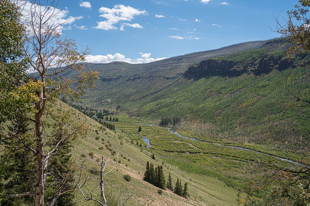
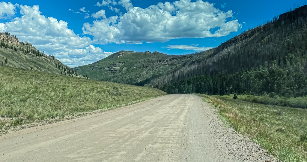
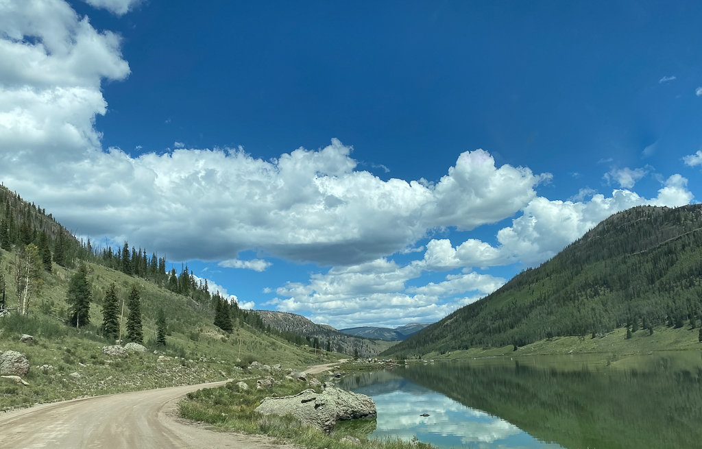
After a few photographs of “The Clay Mine,” the drive took us west to the Rio Grande Reservoir Road, also known as Forest Service Road 520. The road leads from the Silver Thread Byway (Colorado State Highway 149) toward Stony Pass.

The first 19 miles are accessible by 2-wheel-drive vehicles. Beyond that first 22 miles, a four-wheel drive vehicle is needed to take the rest of the road through Timber Hill, over Stony Pass, and down into Silverton.
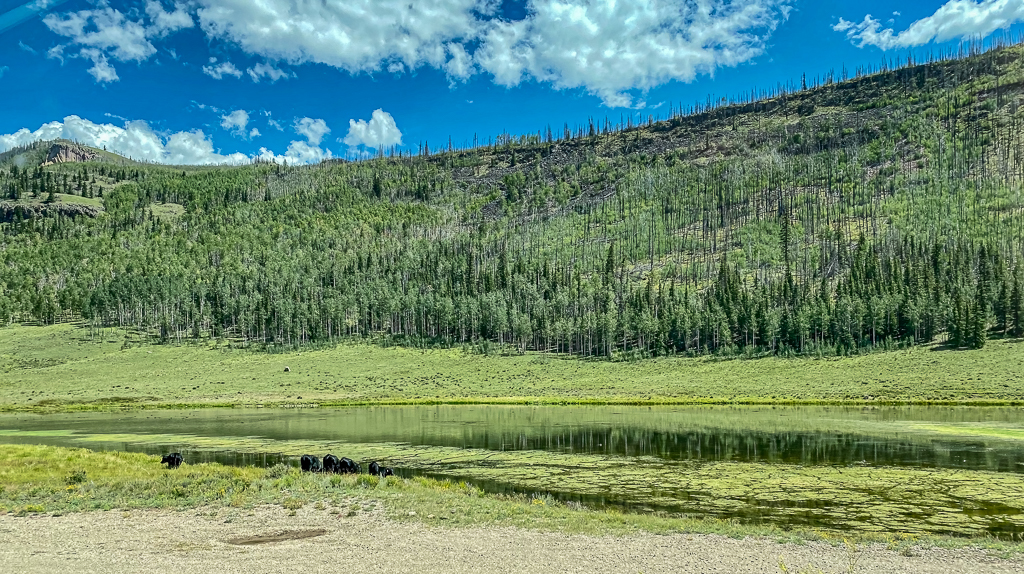
After many potholes, rutted lanes, and more than a few washboarded areas, we passed Road Canyon Reservoir (actually two reservoirs, one upstream of the other0. The Road Canyon Reservoir was built at 9,725 feet in elevation, damming the Rio Grande River. It is part of a three-lake system (along with the Rio Grande Reservoir) that was constructed to provide the San Luis Valley with water for irrigation.
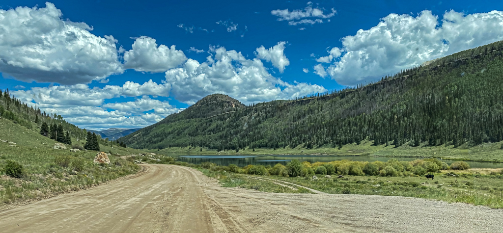
The drive continued on the Rio Grande Reservoir Road to the Rio Grande Reservoir. The road was gnarly, with steep drop-offs several hundred feet above the reservoir and no guard rails. Built between 1910 and 1914 by the San Luis Valley Irrigation District Rio Grande Dam is an earth and rock fill dam 111 feet high and 550 feet long. Long and narrow, the Rio Grande Reservoir is the third-highest major reservoir in Colorado at an elevation of 9,400 feet and contains 51,110 acre-feet of water.

Love reading the Blog!!
Sent from my iPhone
>