Now that the total solar eclipse is history, chores need to get done. And, there is such a long list: prune Forsythia, prune Crepe Myrtles, cut back Pompas Grass, severely prune Blue Creeping Juniper, chip/shred resulting yard waste, buy potted ferns and hanging plants, fill bird feeders (both hummingbird and seed feeders), remove leaves and weeds, organize garage, catchup on blog, attempt to repair appliances and smoke alarms, and clean up office! Consequently, no golf will be played this week, and pickleball only for the HSV Pickleball Club ladder.
Tuesday, Kay and I embarked upon trimming the Forsythia on the north side of the house. It is the only plant that survived in a bed created several years ago, and it has gotten a bit out of control. Next was pruning the Crepe Myrtles along the “ditch”, in front of the house, and around the patio in back. The waste vegetation from all this pruning was piled onto the lot next door for further processing.
On Wednesday, my back ached (lumbar spinal stenosis) from all the activity the day before. Nevertheless, Kay and I severely clipped the overgrown Pampas Grass in the back near the lake. That about did me in. It must have been the action of using the shears to clip of the dead leaves. The hot tub helped, but the aches and pains were severe enough to render me pretty helpless. Kay was scheduled to play golf, but it was canceled due to the threat of rain.
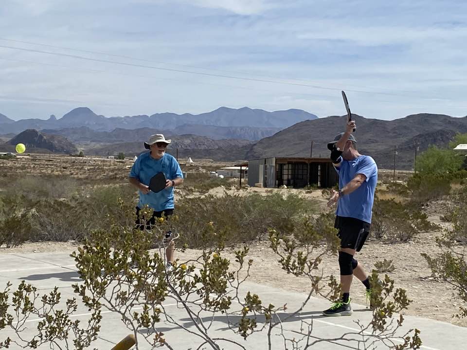
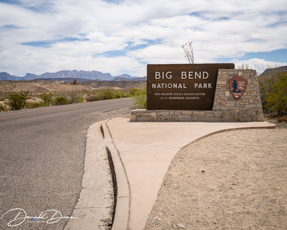
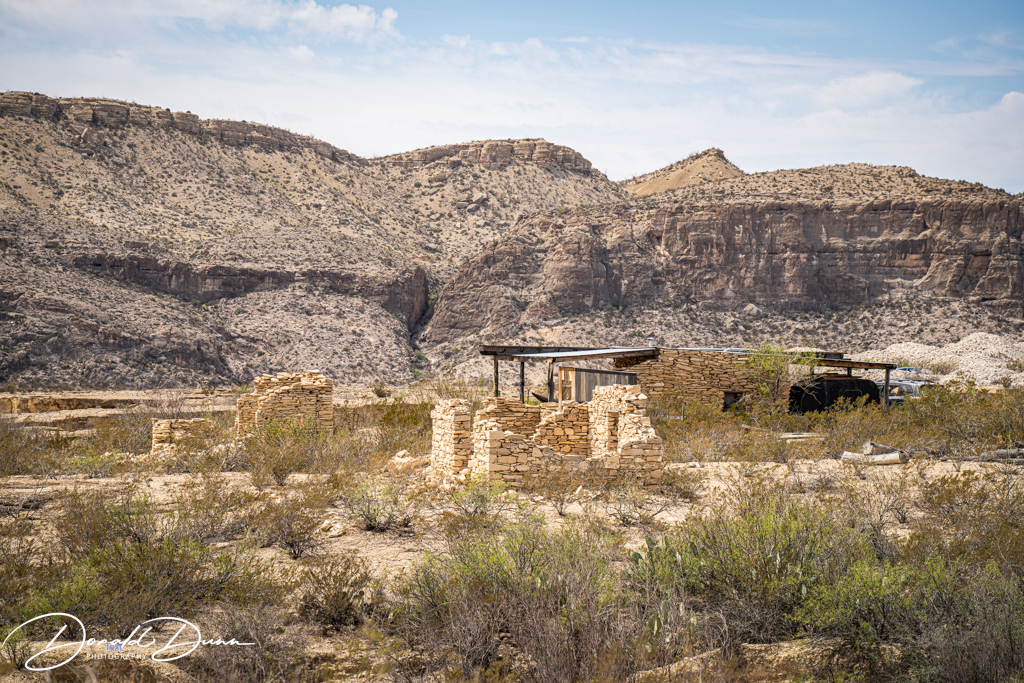
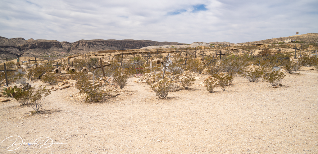
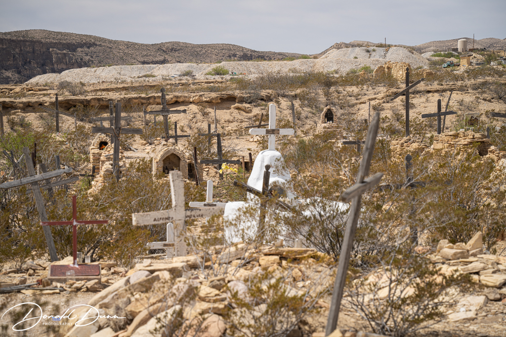
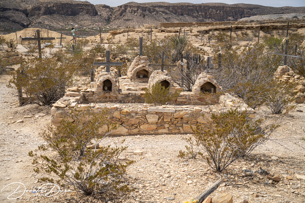
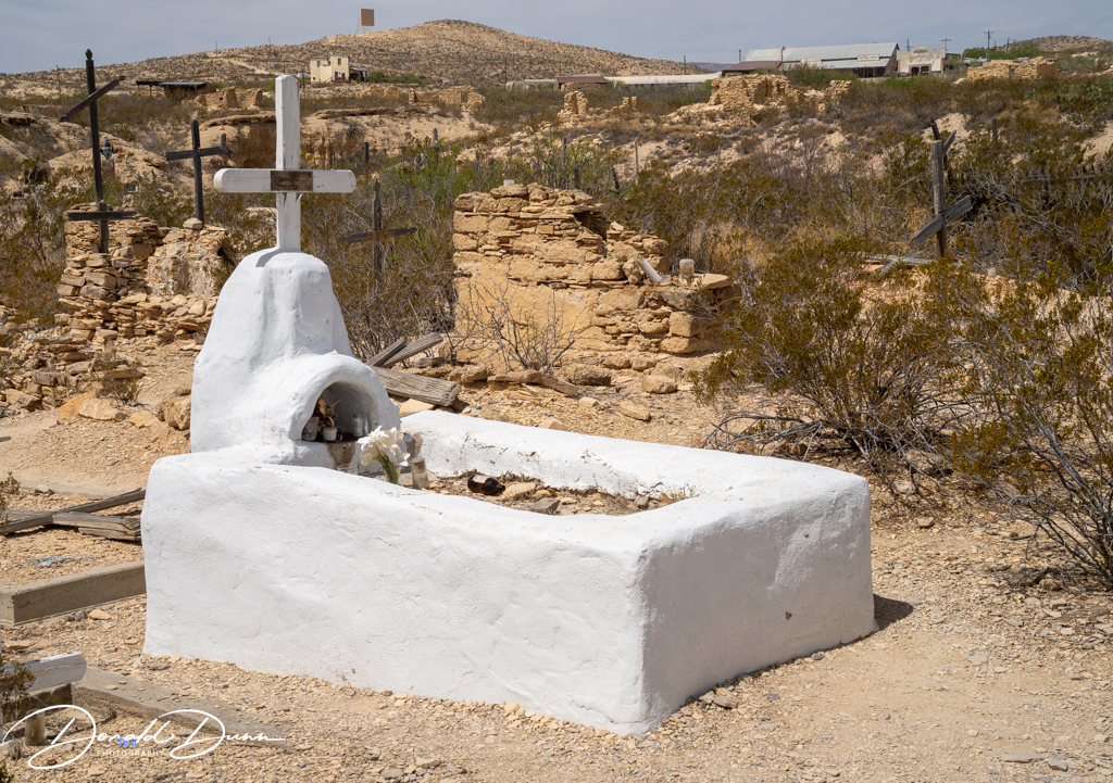
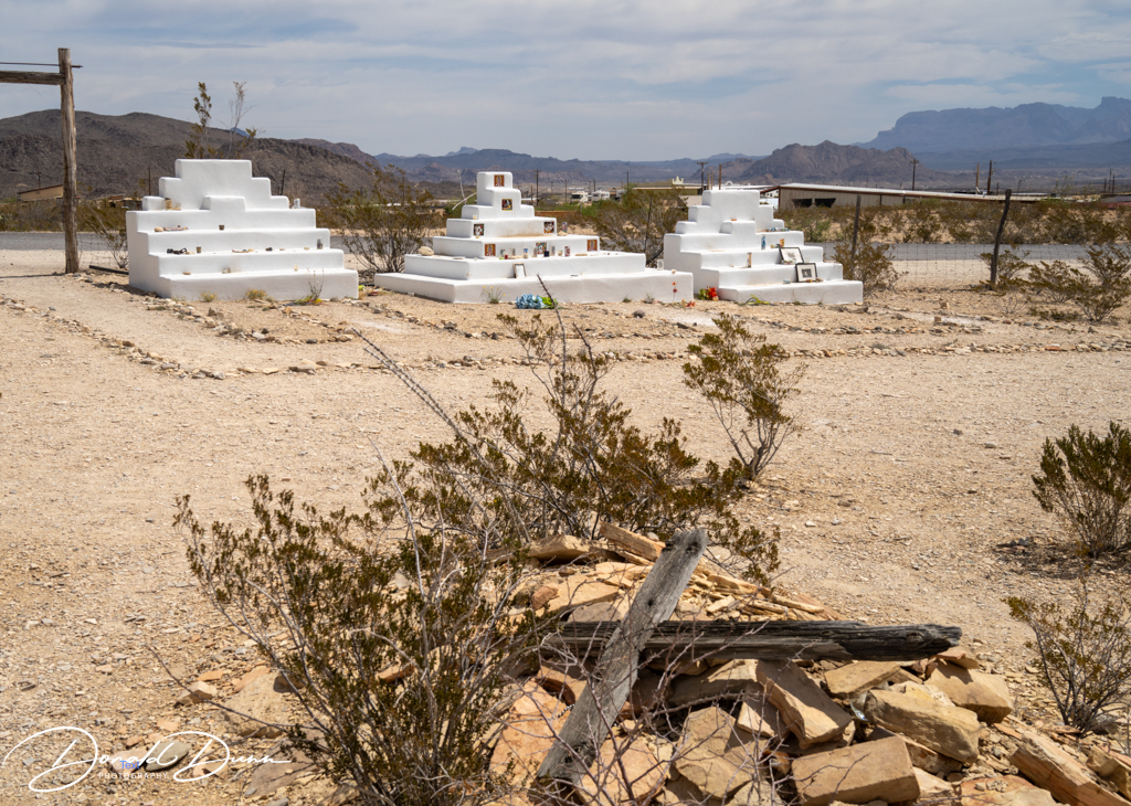
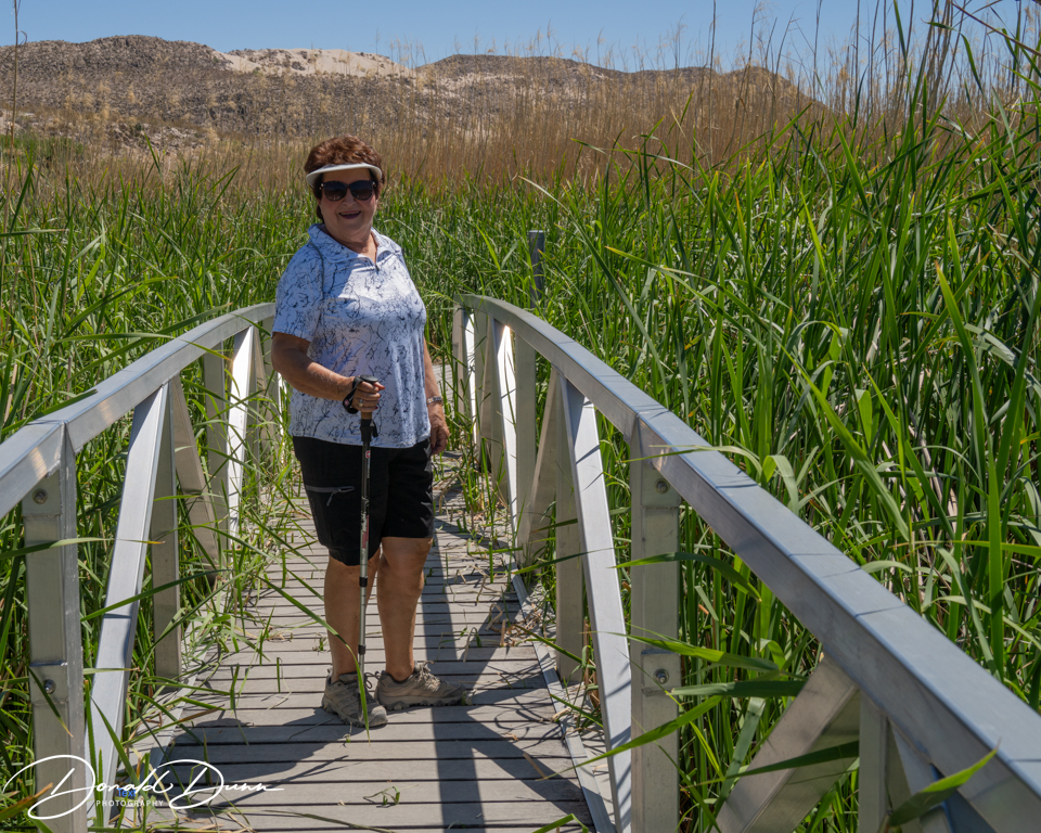
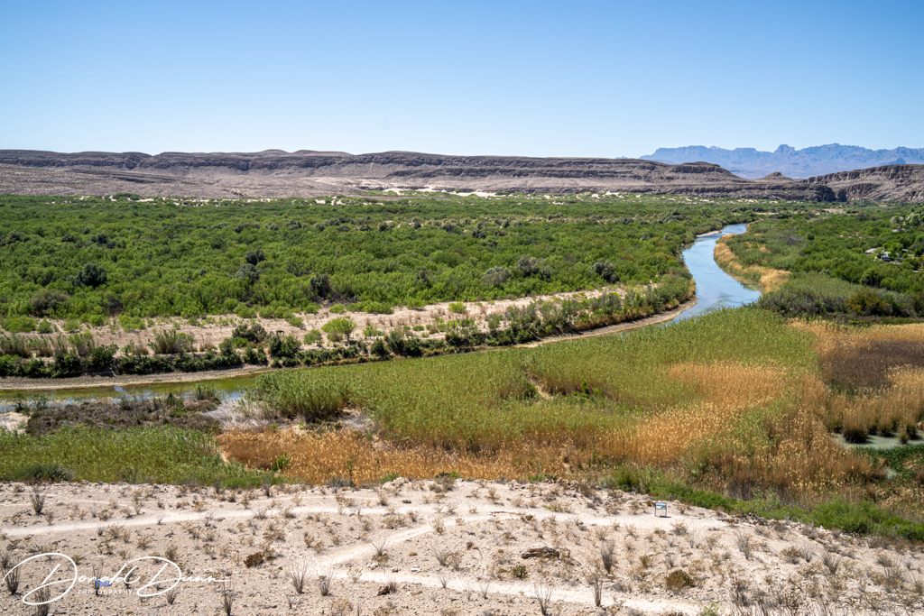
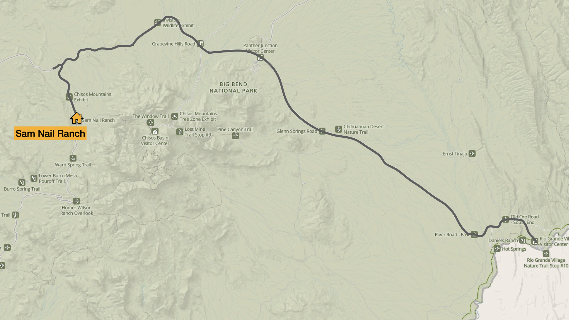
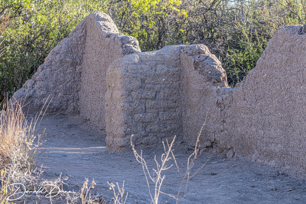
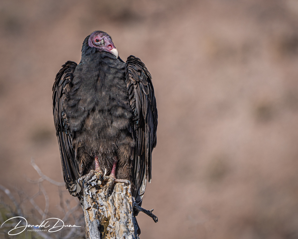
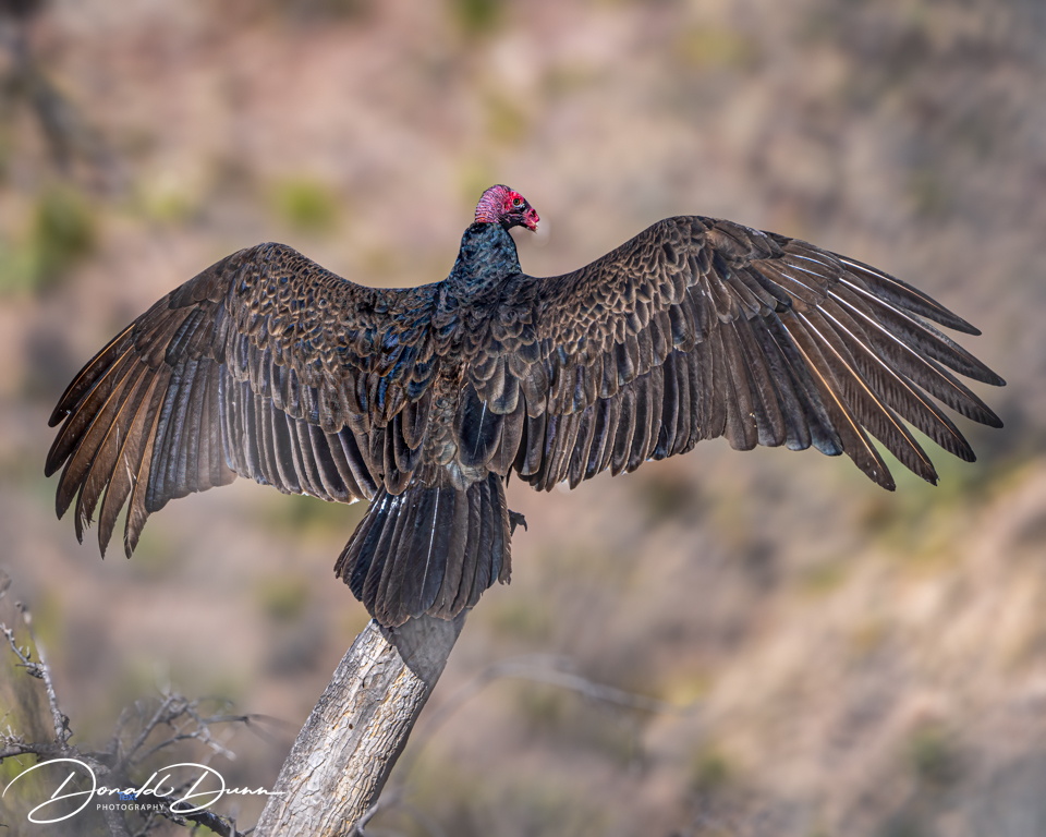
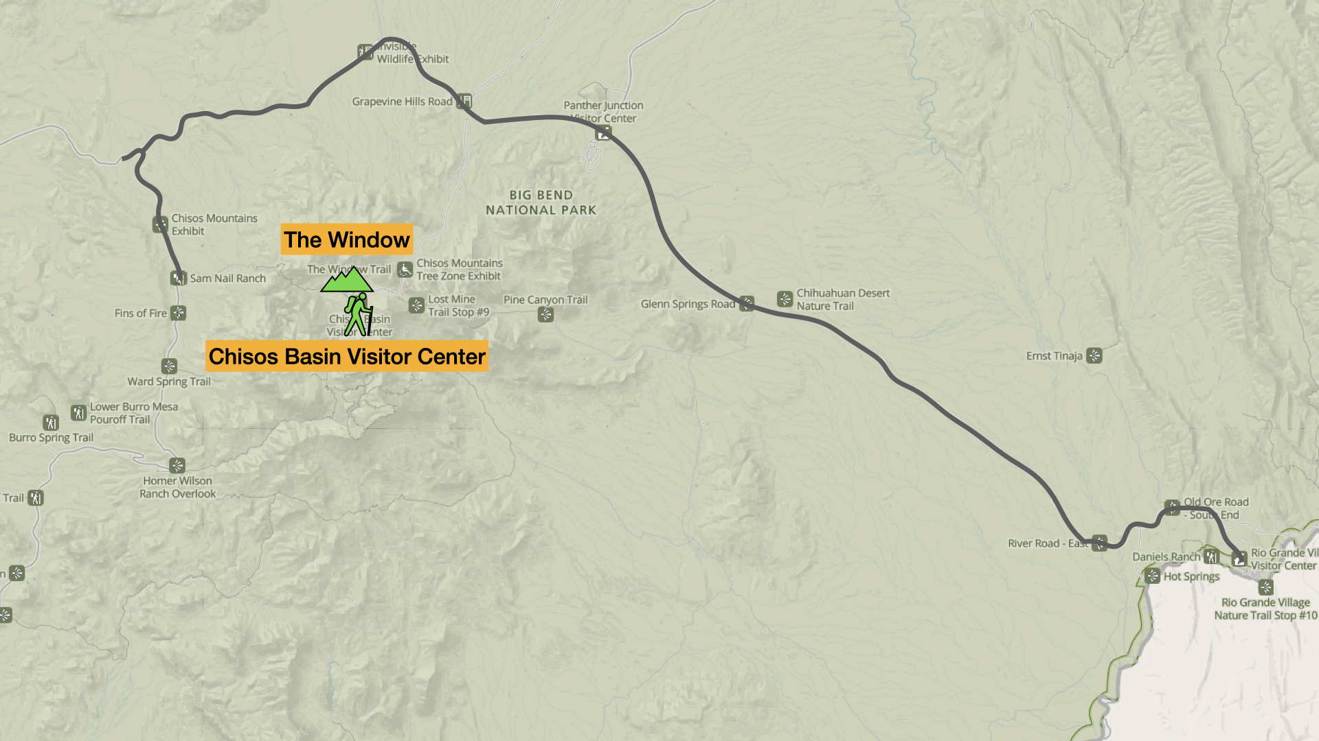
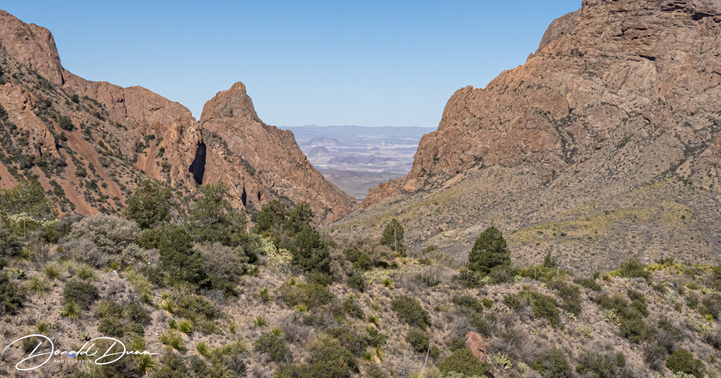
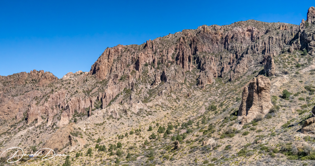
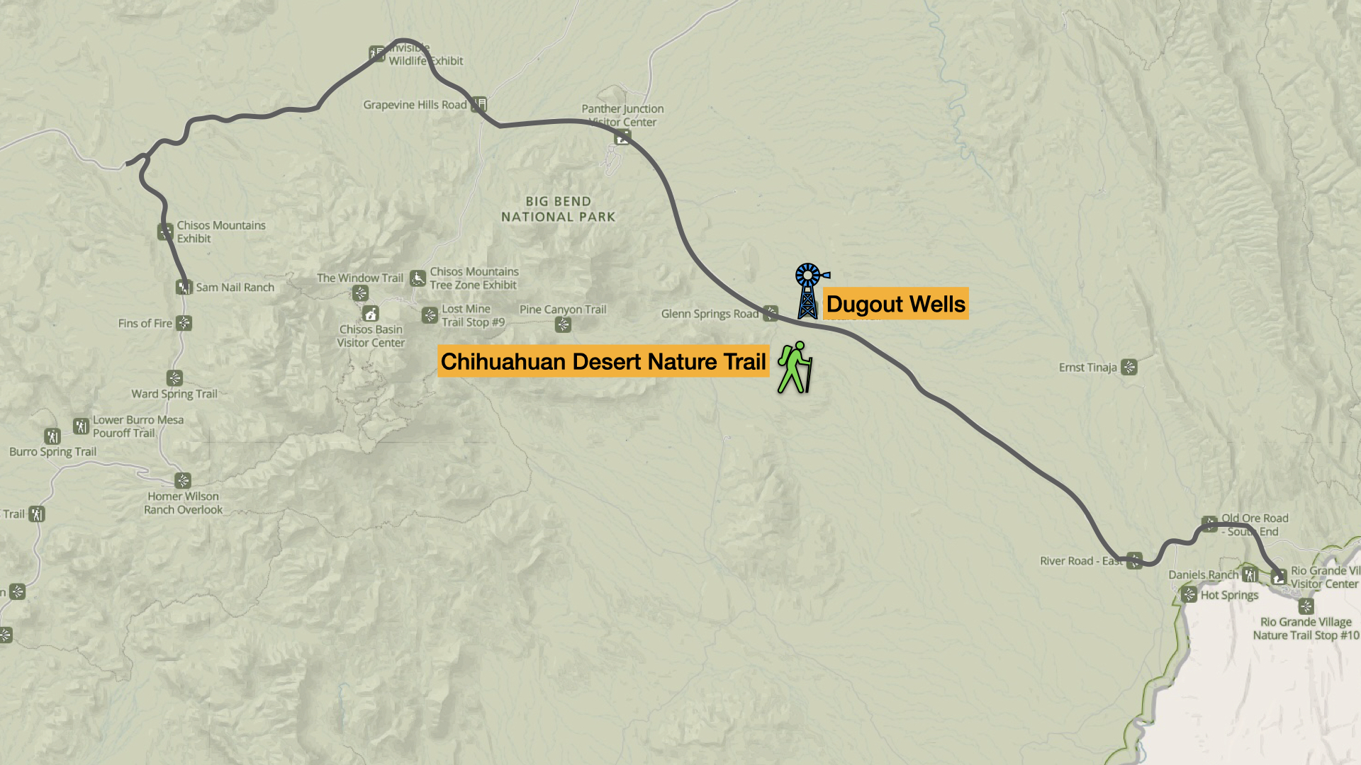
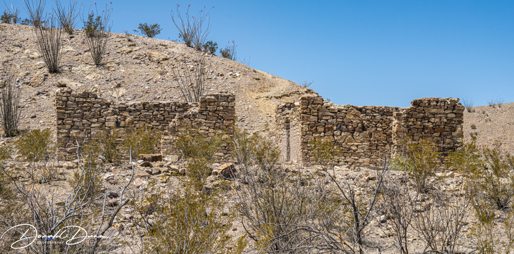
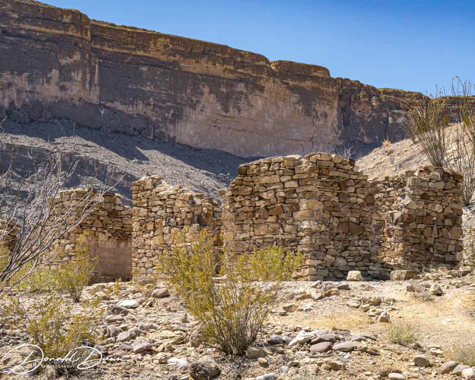
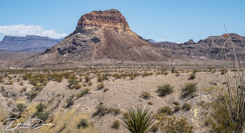
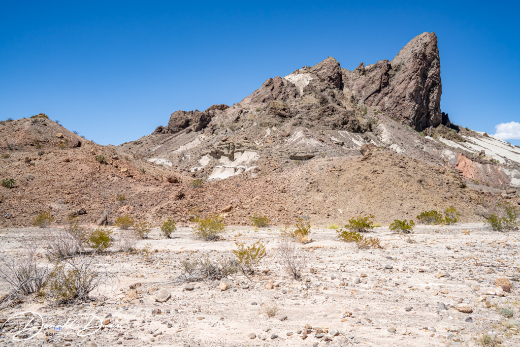
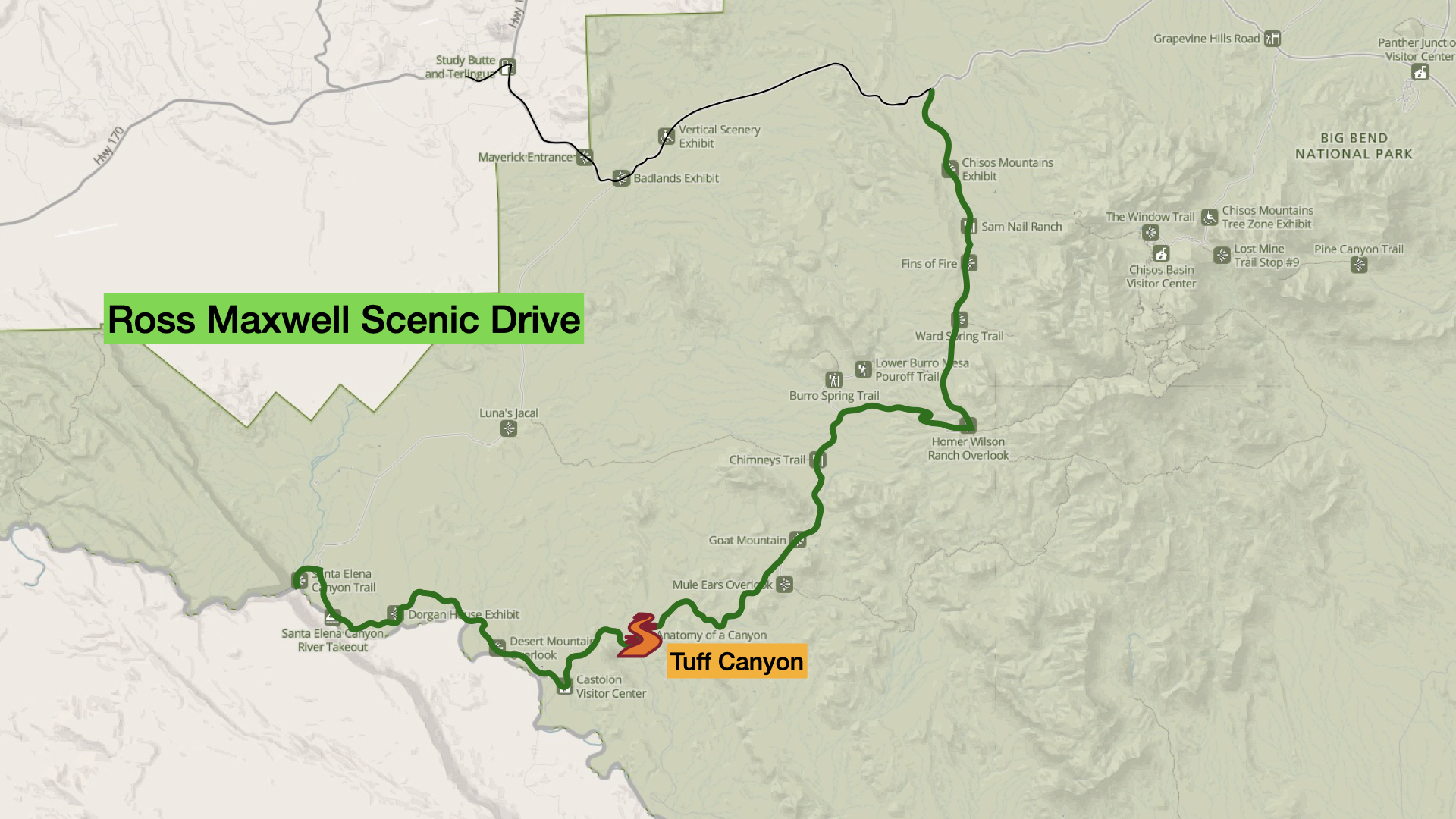
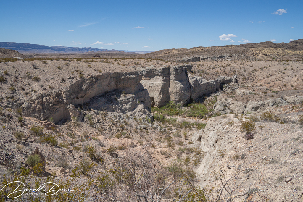
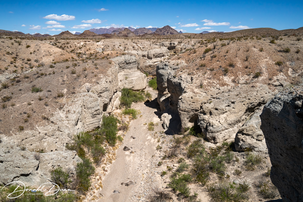
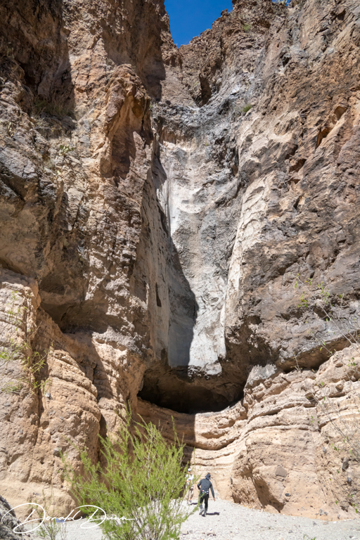
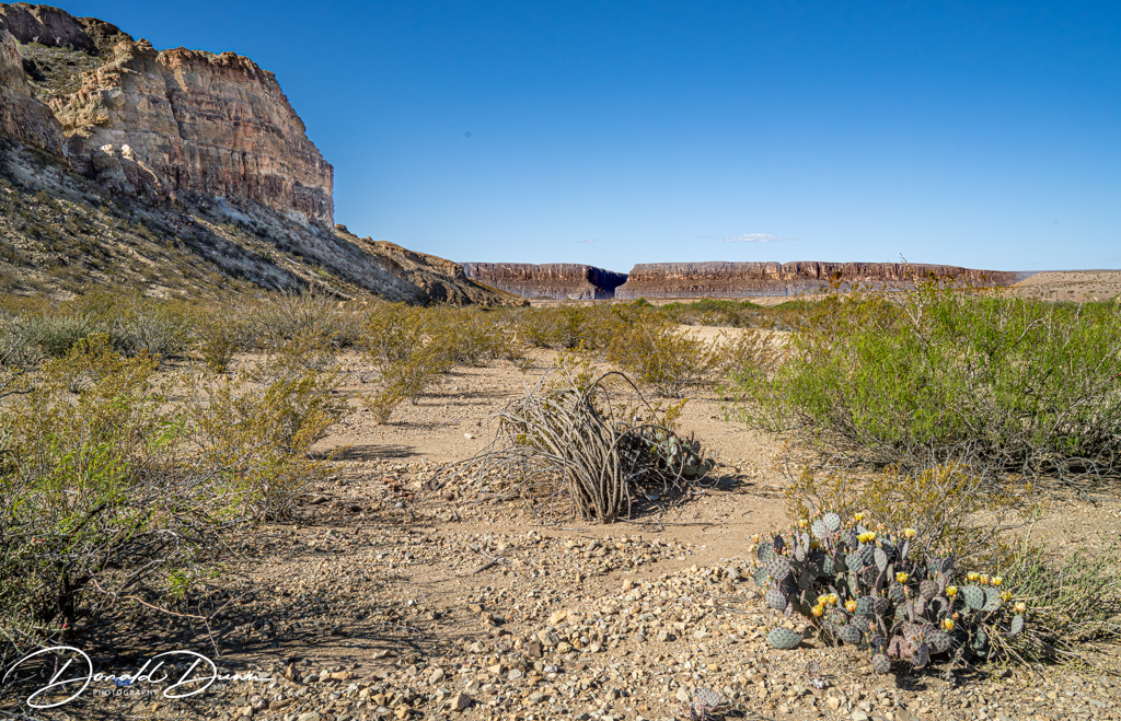
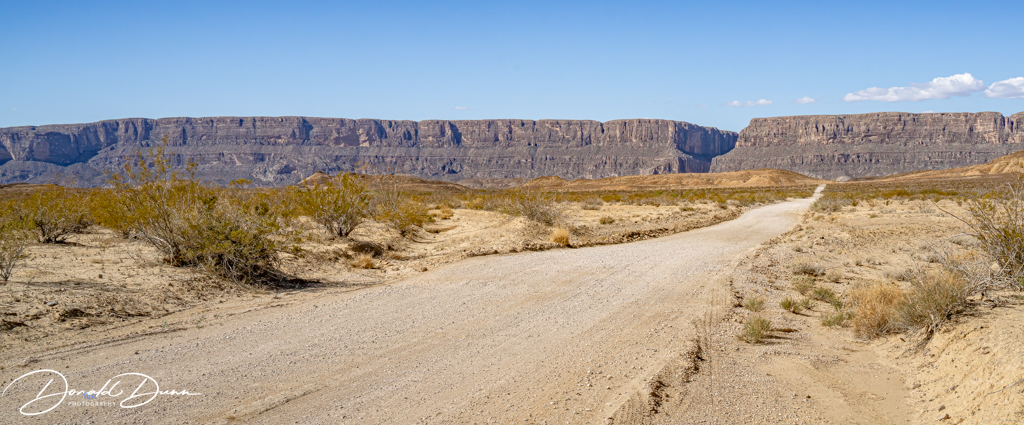
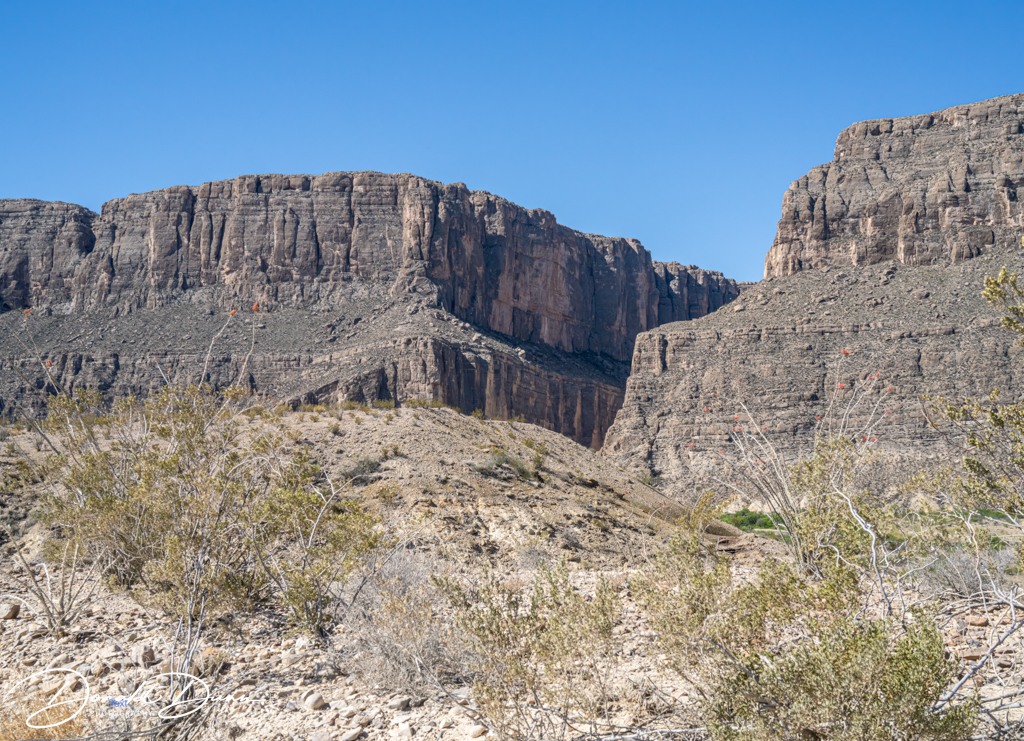
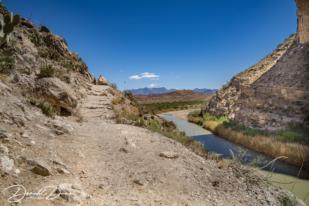
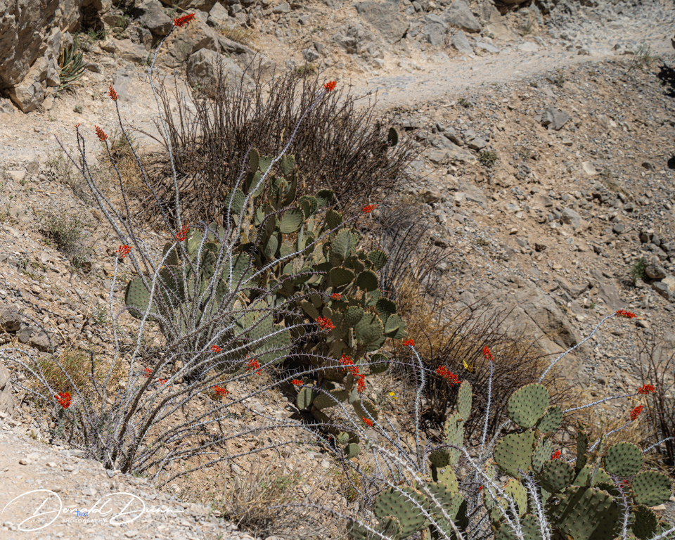
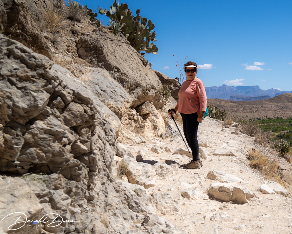
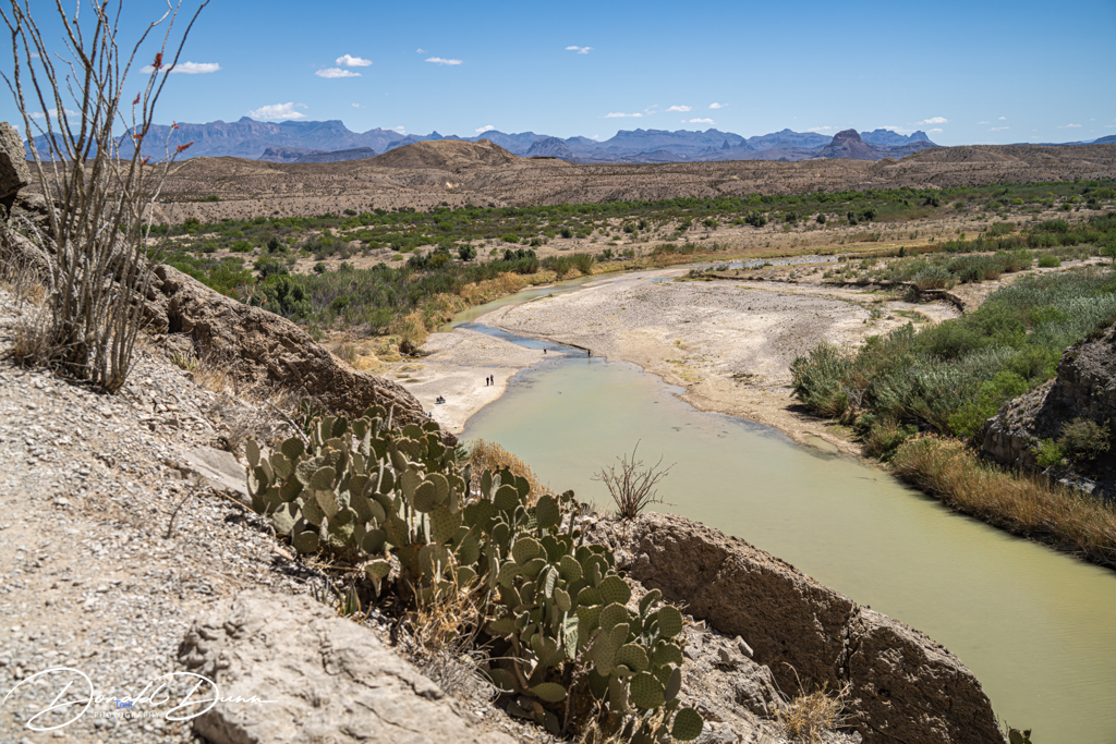
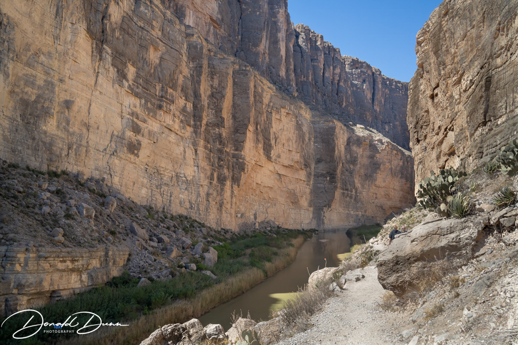
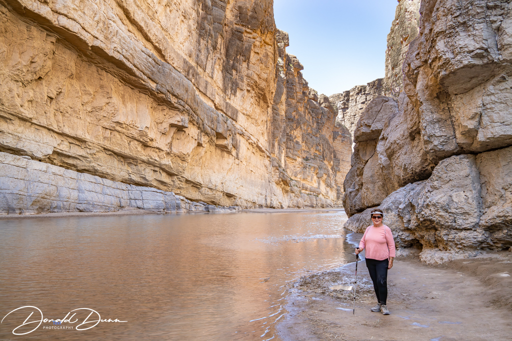
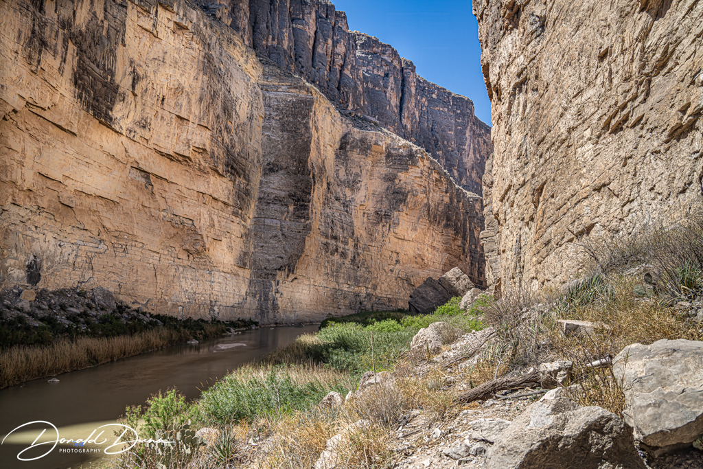
She had Book Club on Thursday, and the members always look forward to getting together. This was their first meeting this year (2024). Meanwhile, I took it easy, and worked on writing and publishing a couple of blog entries, still capturing our recent trip to Big Bend National Park. In the evening, I played pickleball in the HSV Pickleball Club ladder.
Car shopping was the order of the day on Friday. Neither of us need a new/different car, but I wanted one with AWD and a few more bells and whistles. It looks like I may be moving away from Honda despite having been a loyal Honda owner for the last 38 years. The local dealer just didn’t want to earn our business even though we’ve used them to maintain our Hondas (currently three) for the last nine years. After car shopping, we visited a local plant nursery where Kay bought a few hanging baskets to liven up the deck.
The aches and pains had subsided somewhat by Saturday, and I took advantage to rake leaves from the sides and back (actually a blower was used), and to change our ceiling can lights to LEDs. Kay played pickleball around midday, after which we drove to Little Rock to shop at Costco.
We took advantage of an empty schedule on Sunday (we played hooky from church) to work on the dishwasher and continue yard work. After taking the dishwasher somewhat apart, the water intake valve I ordered was the wrong one. The cost to repair is such that we’ll likely buy a new one. This will be the third appliance (all Frigidaire) to be replaced since building the house in 2015. The fireplace fan has also worn out, but replacing it can be put off until late fall. After the unsuccessful early morning, we shredded and chipped most of the yard waste from last week with the newly purchased electric shredder/chipper. It did a great job, and hopefully we’ll have mulch and/or compost as a result.
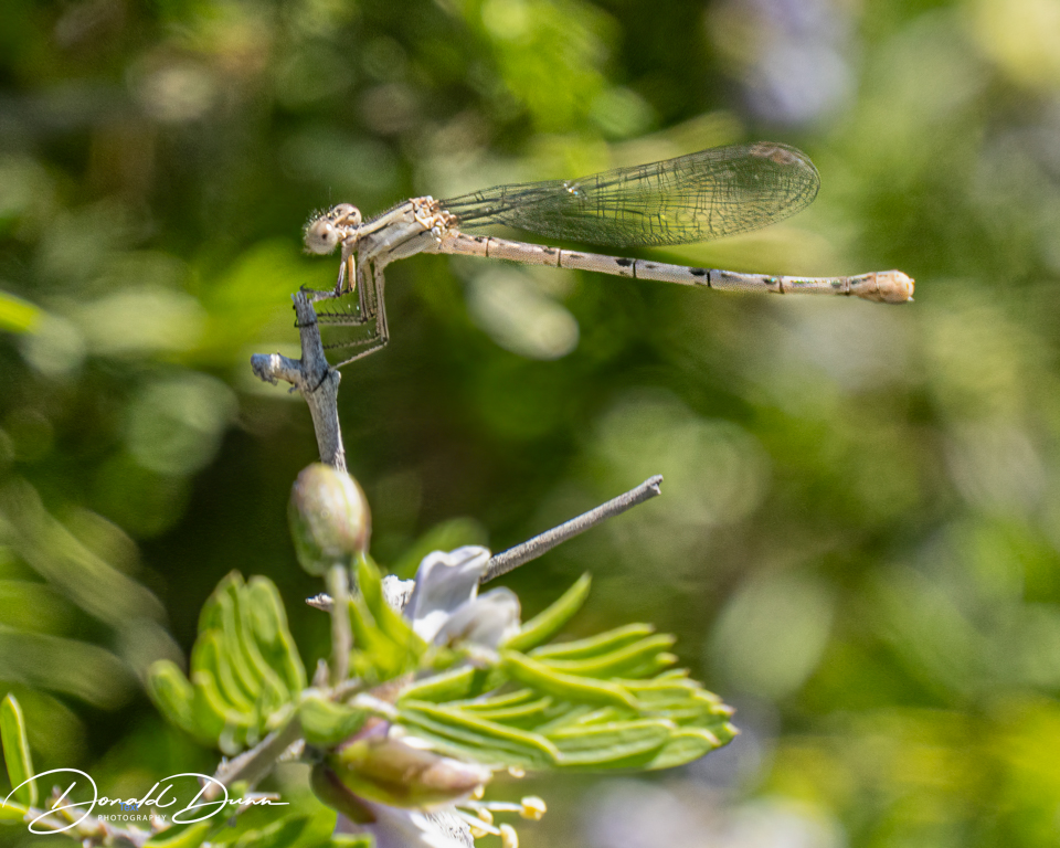
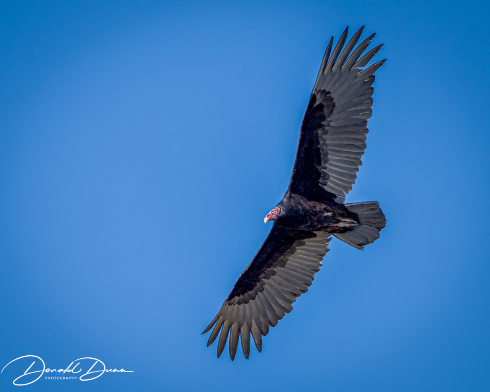
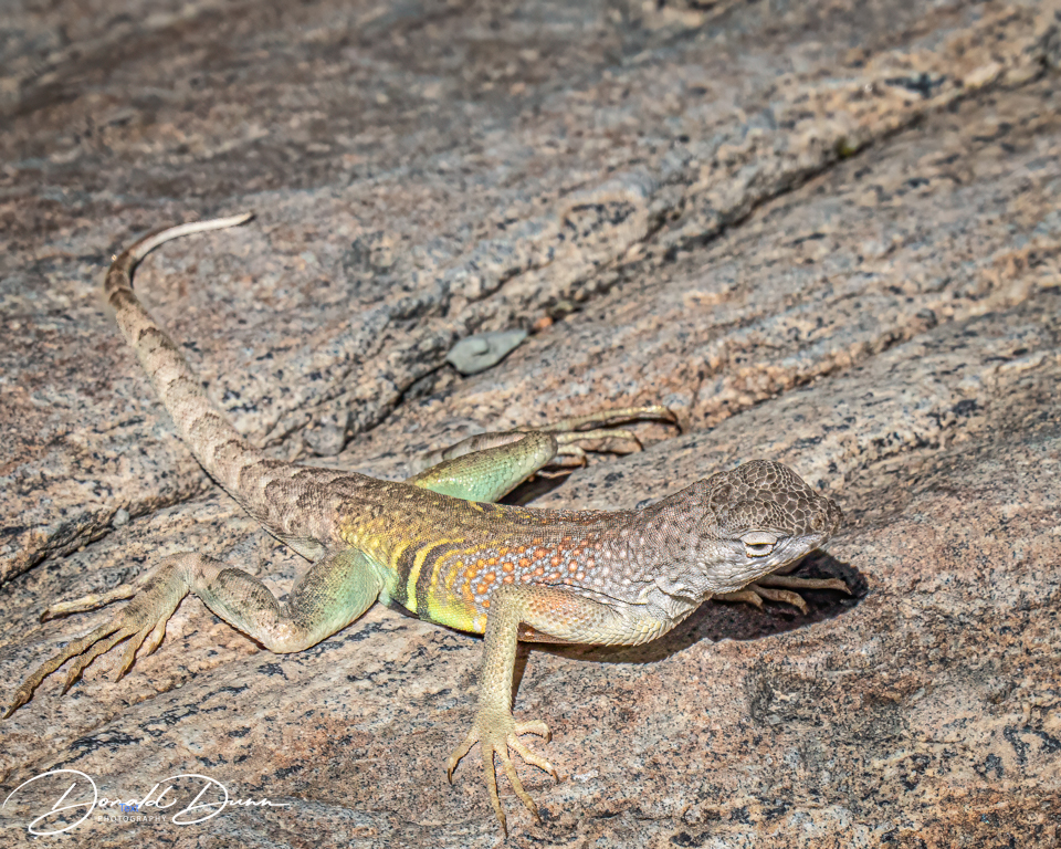
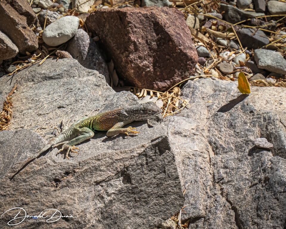
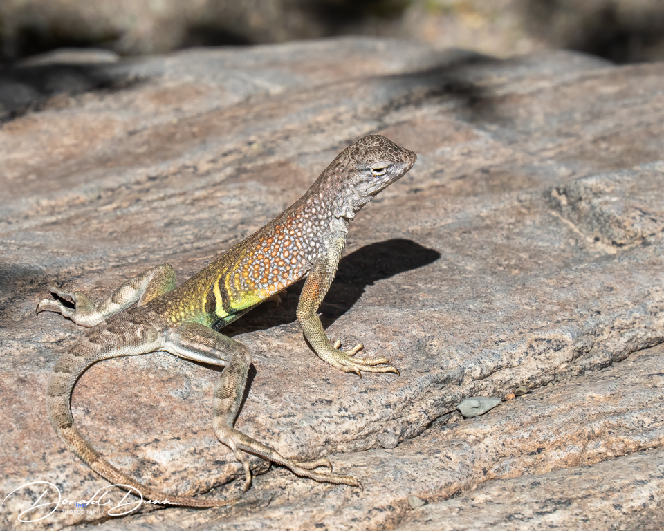
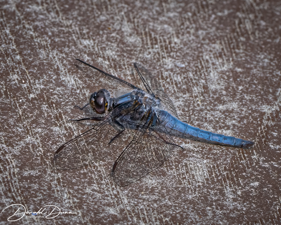
And lastly, time was made to take a few photos around the yard. It’s still too early for many dragonflies to be darting about, at least here, but this one posed long enough for a shot.
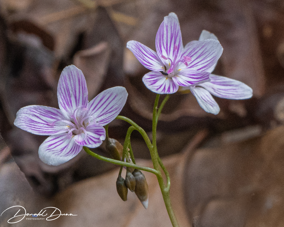
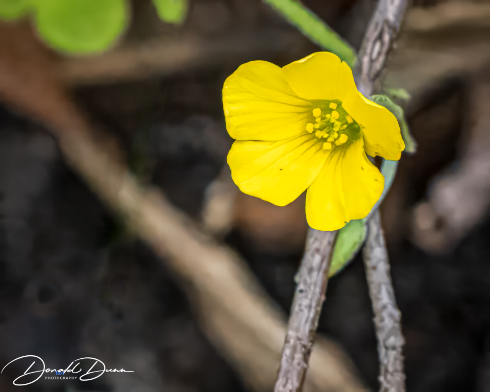
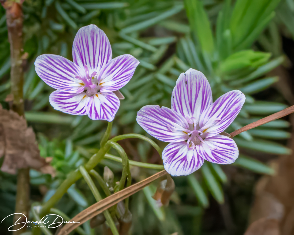
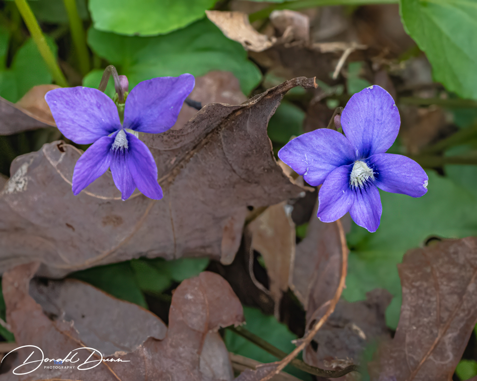
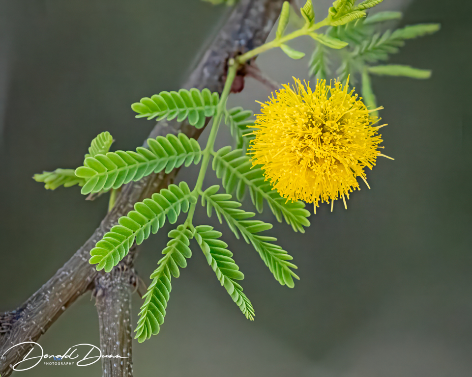
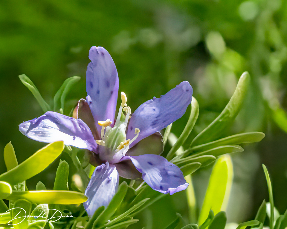
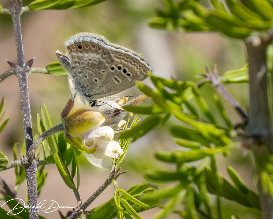
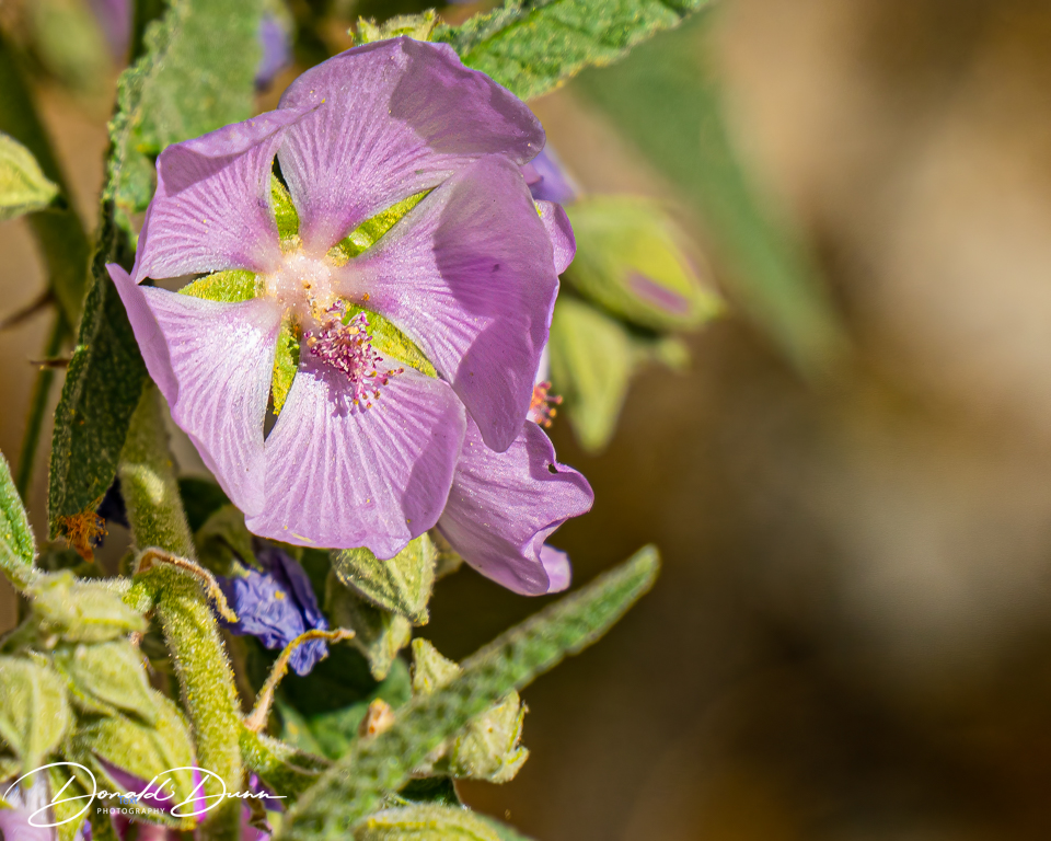
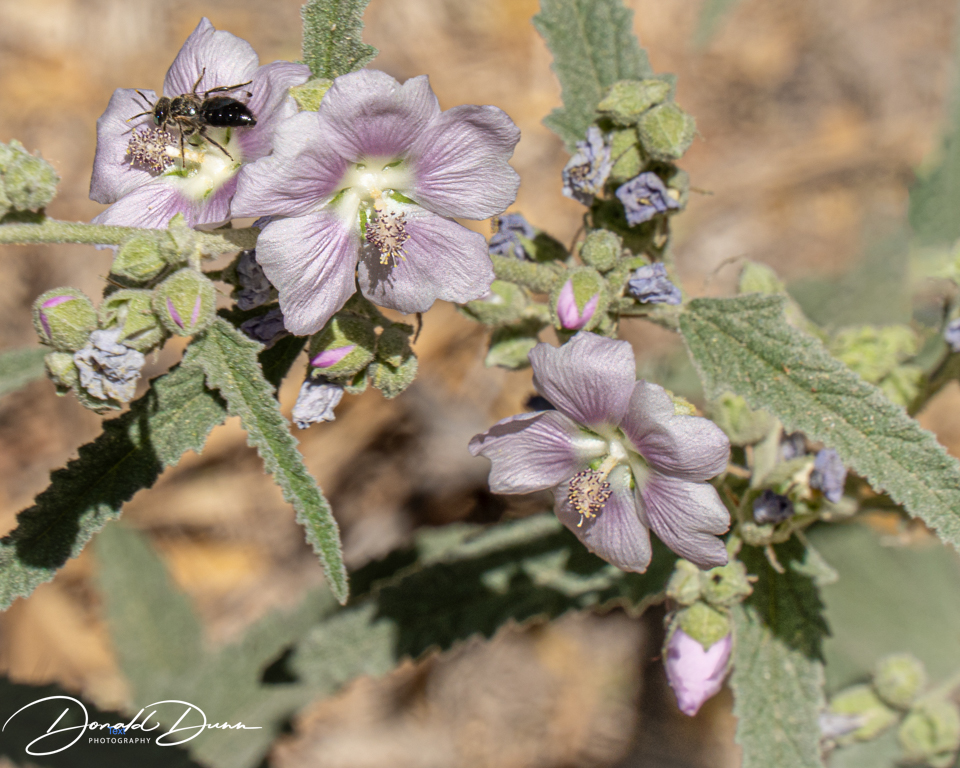
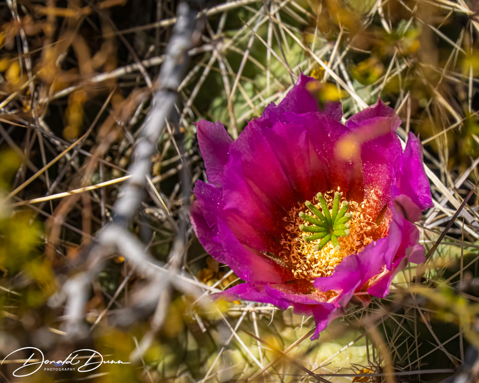
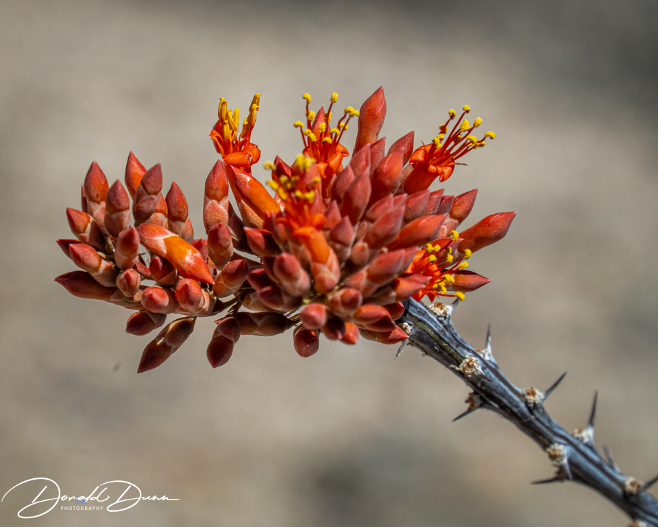
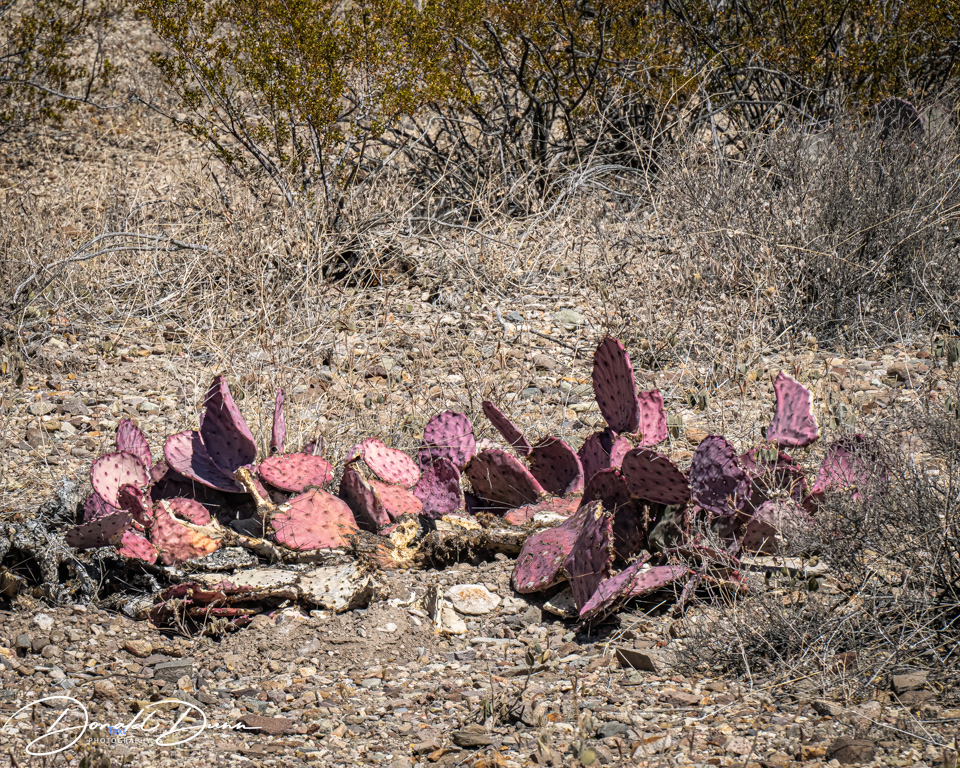
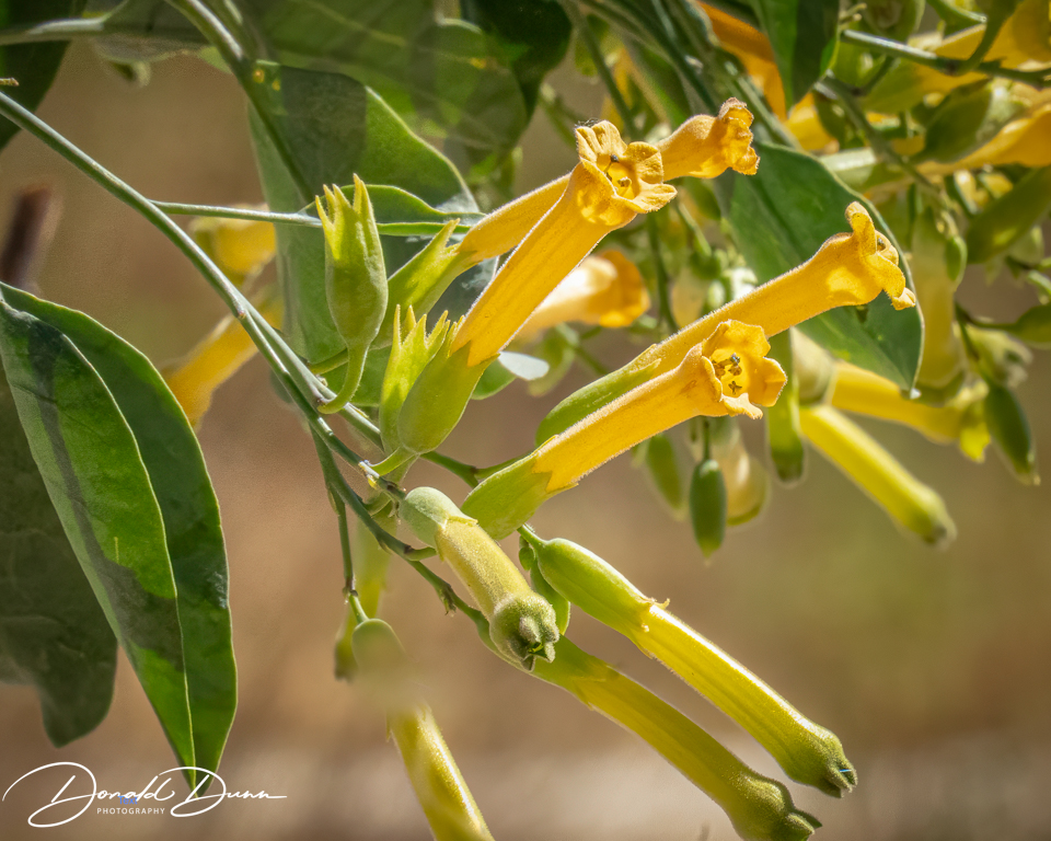
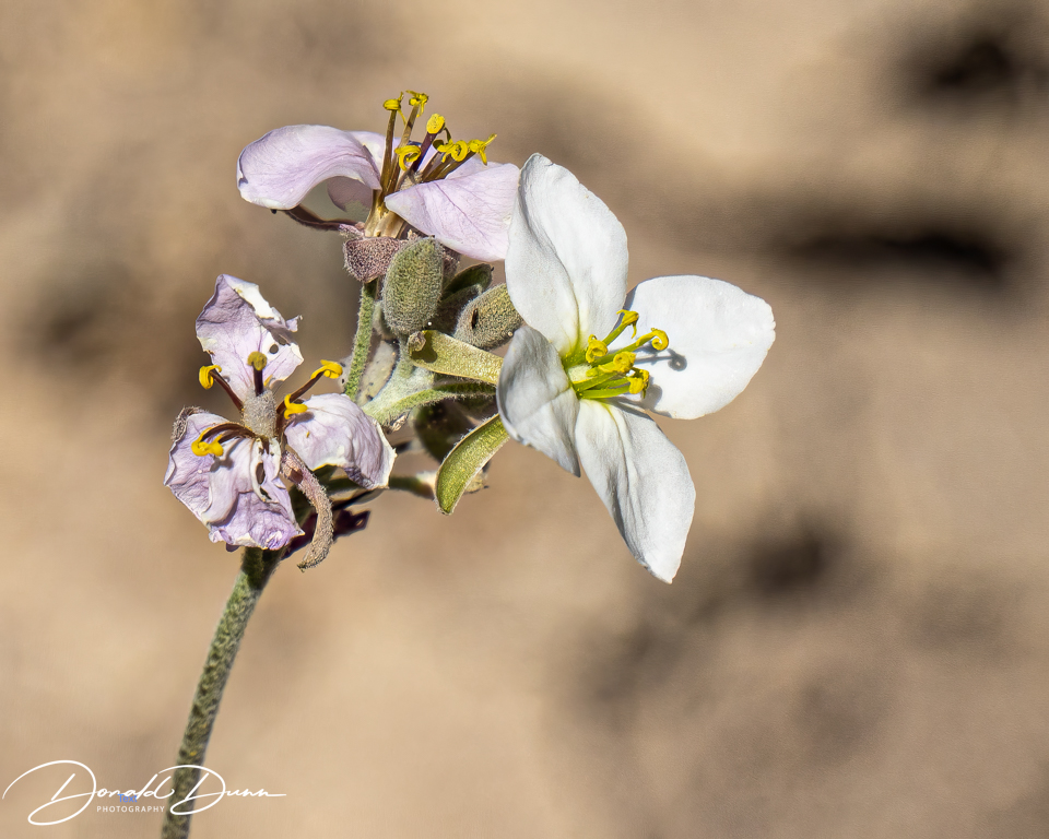
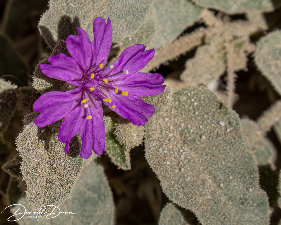
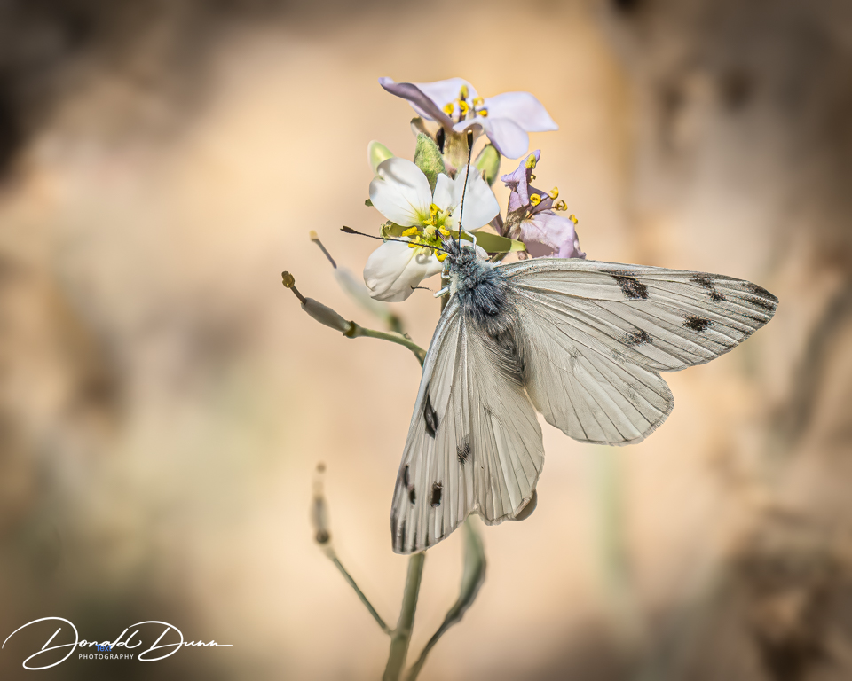
And there were several wildflowers in bloom (some call them weeds).