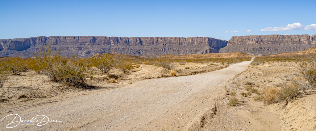
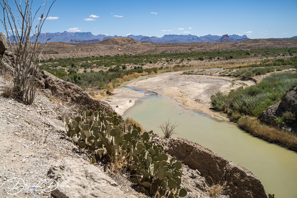
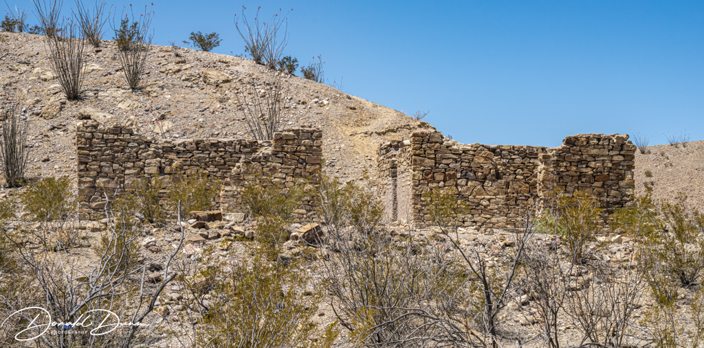
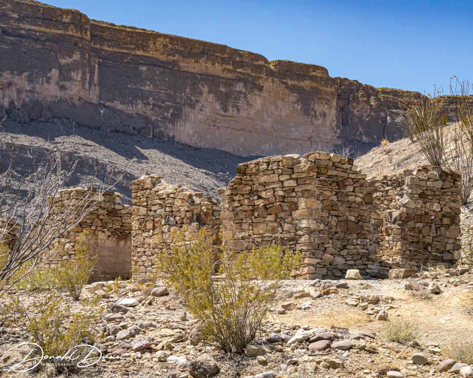
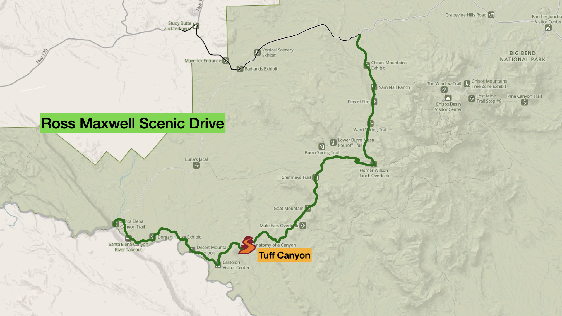
From Santa Elena Canyon, we followed the Ross Maxwell Scenic Drive to Castolon Visitor Center, stopping at the Dorgan-Sublett Trailhead to view the ruins of the Sublett house.

James and Melissa Belle Sublett arrived in the Castolon area in 1913. In 1918, Sublett purchased four sections of land at this location, and called his operation Grand Canyon Farms. Mr. Sublett was one of the first settlers in the Big Bend area to actively farm the Rio Grande floodplain on a large scale.
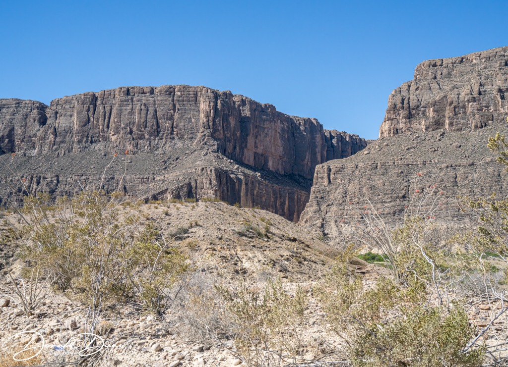
Next was a view of Cerro Castellan.

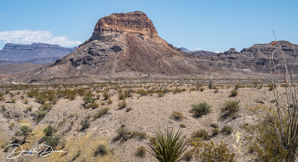
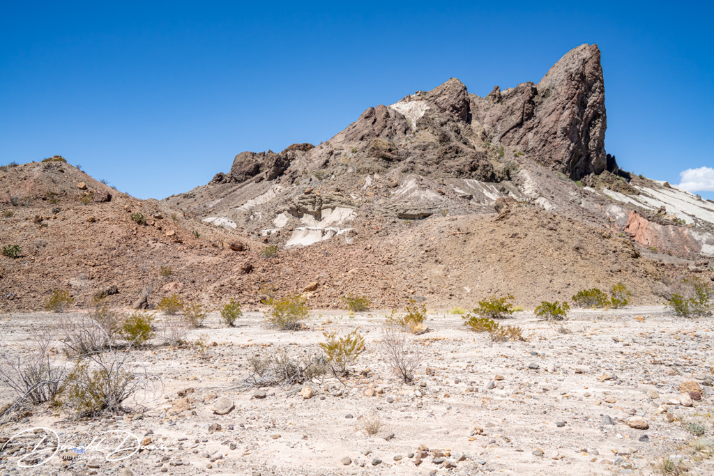
This is a stone butte rising 1,000 feet straight up from the desert floor, peaking at 3293 feet. Near Cerro Castellan was an interesting mountain formation.
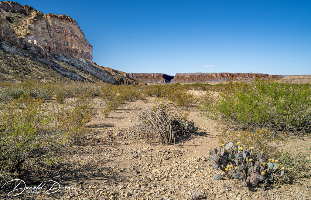
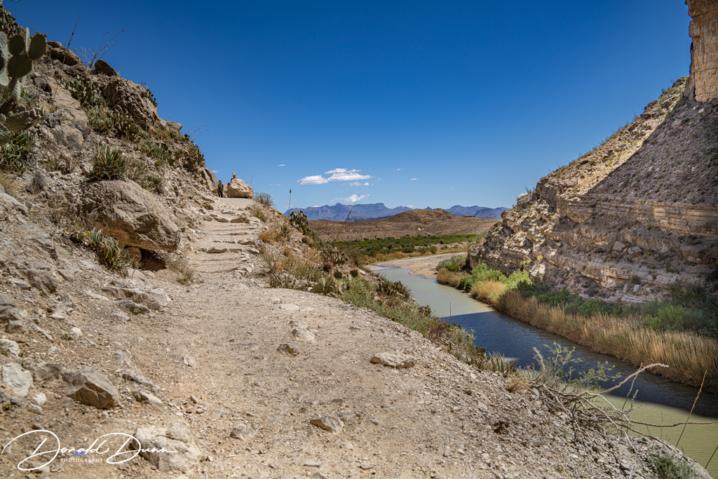
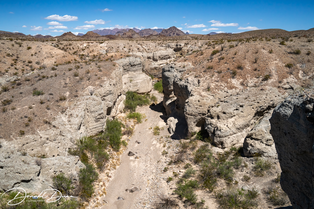
After Cerro Castellan, we hiked a short trail to view Tuff Canyon. Here, Blue Creek, fed by rains in the distant Chisos Mountains, has carved a spectacular canyon through layers of volcanic tuff and basalt.
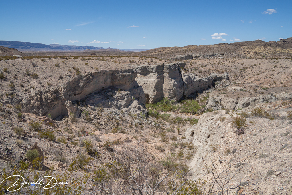
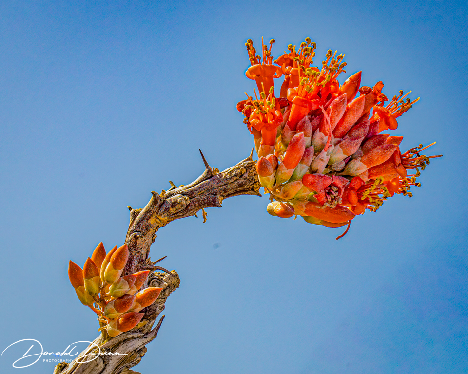
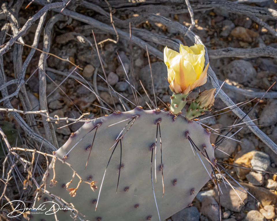
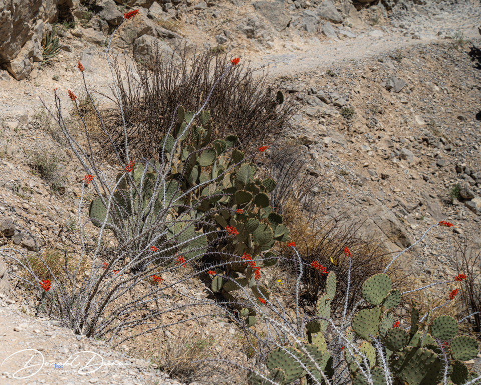
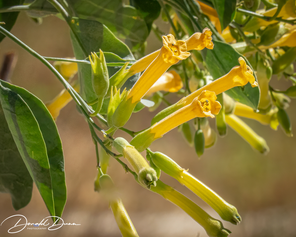
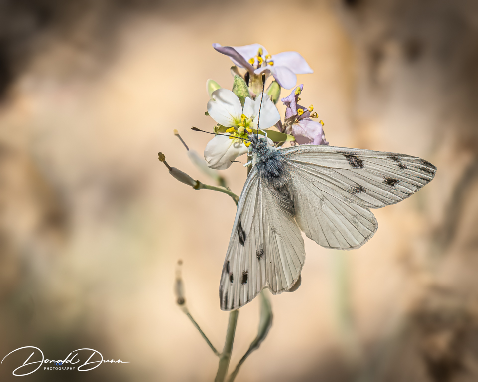
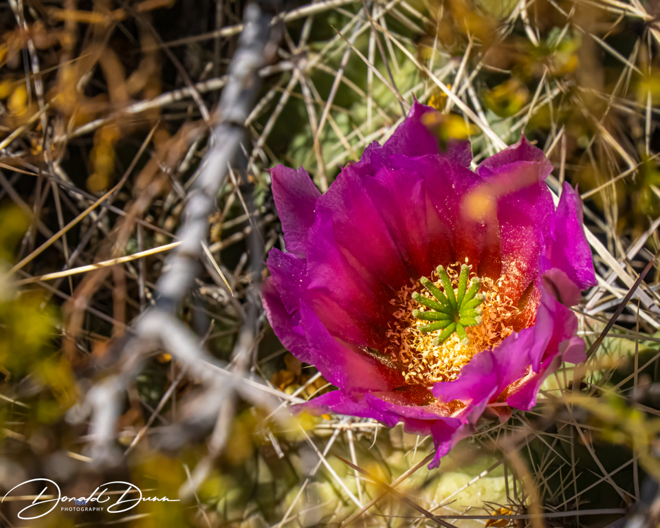
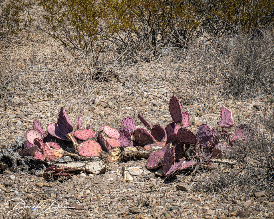
It was on one of the viewing platforms that I almost met my demise. Stepping high to a concrete platform, I tripped and fell, making a three-point landing: both knees and my CAMERA/LENS. While I as bloodied and skinned up, the camera received the brunt of the fall, receiving several deep scratches. Fortunately, it still worked after turning it off and removing and replacing the battery. The bad news is that it now has little resale value! The lens was no worse for wear. Nevertheless, the canyon was photographed and several Cacti were in full bloom. Who knew this spiny plants could offer such pretty flowers.


Another iconic image appeared in the distance as we continued the Ross Maxwell Scenic Drive.

The “Mules Ears” are two distinctive eroded rhyolite dikes known as Mule Ears Peaks. In the valley floor, deposits of white volcanic tuff erode from the slopes and hard lavas cap the mountains.

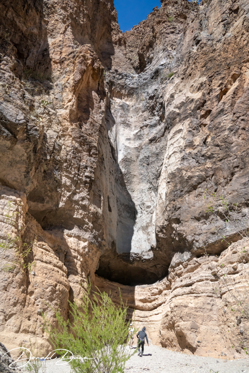
Our last stop of the day was the Lower Burro Mesa Pouroff.

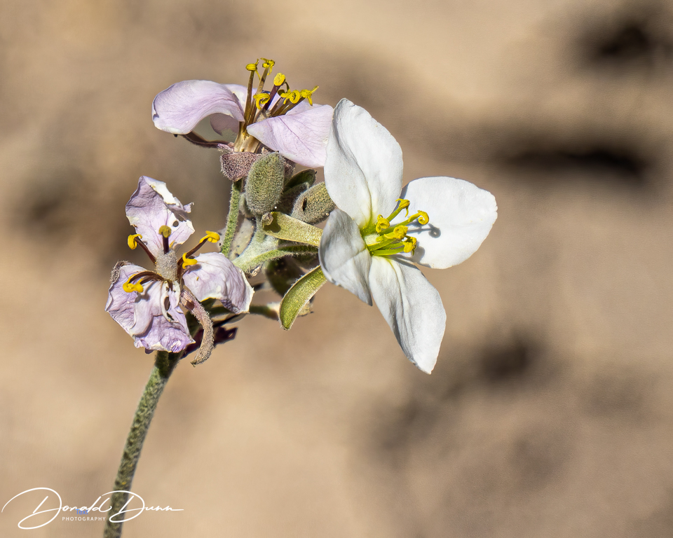
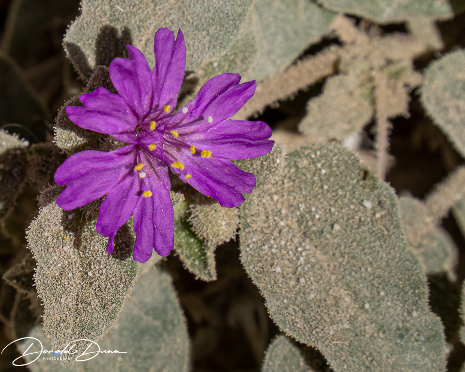
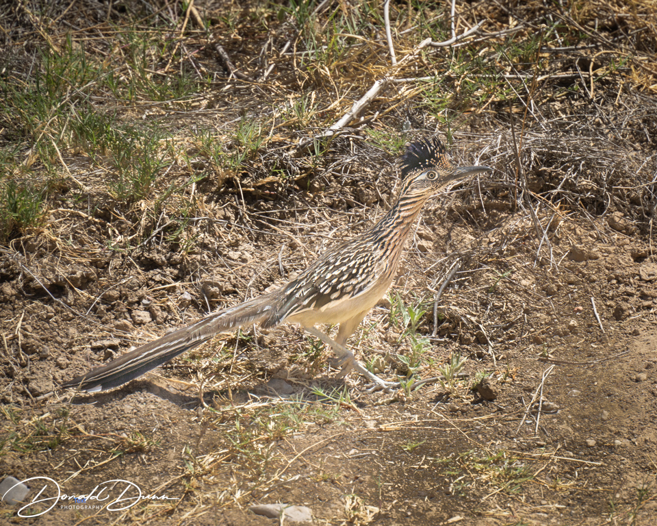
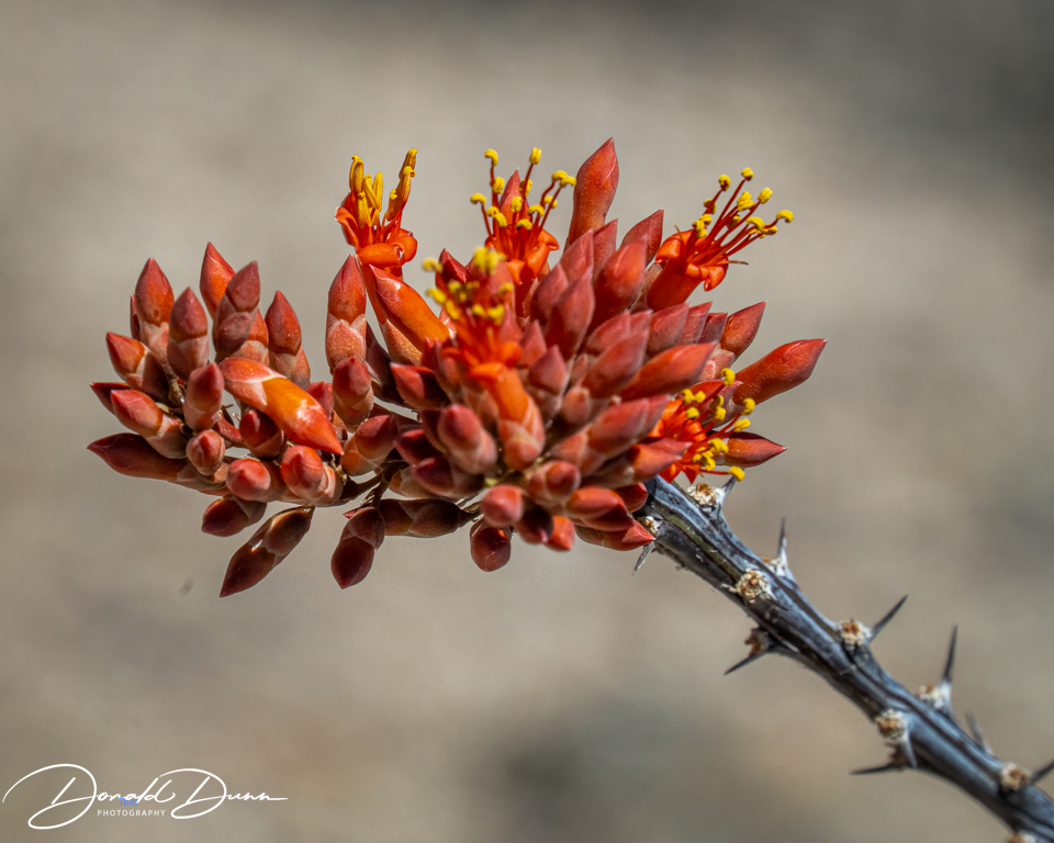
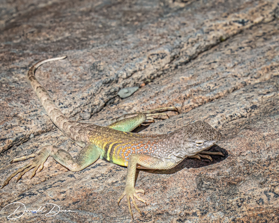
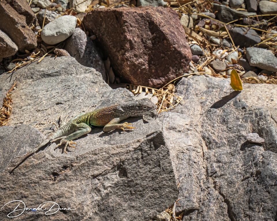
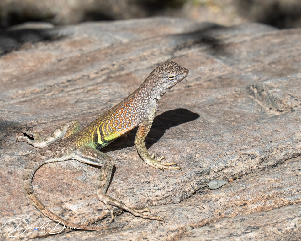
The Lower Burro Mesa Pouroff Trail was a relatively flat, easy hike to a pouroff that is dry most of the year. A good portion of the trail follows a gravel wash lined by Mexican persimmon, Mexican buckeye, and desert hackberry trees. The wash is bounded by volcanic hills with layers of yellow and orange ash-flow tuffs. Large congomerate boulders litter the valley bottom. Along the way were cacti blooms and lizards.
The trail ends at the pouroff—a 100-foot tall vertical channel carved into rock that funnels water from the mesa above.